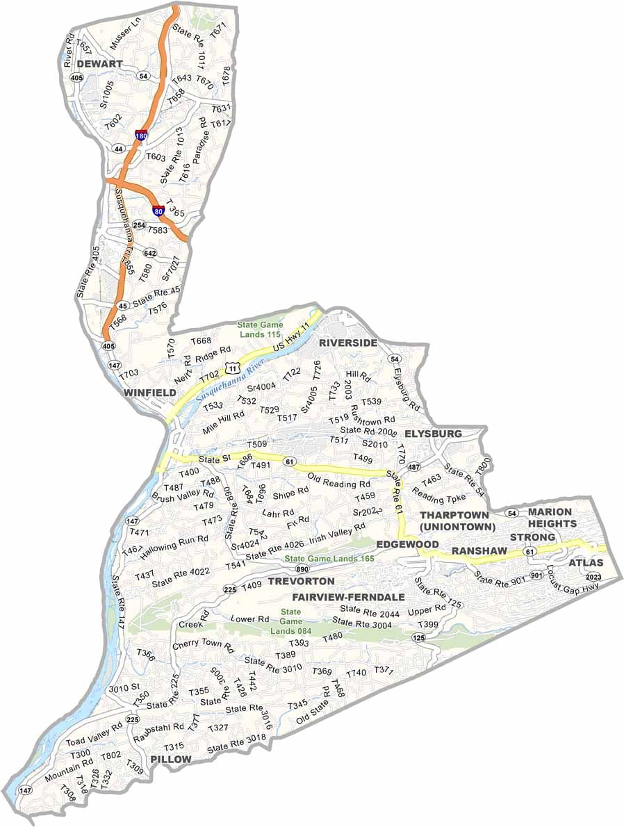
Northumberland County Map, Pennsylvania

Northumberland County, Pennsylvania

Northumberland County sits in the middle of Pennsylvania, where the north and west branches of the Susquehanna River meet. Outdoor lovers will find plenty to do, especially hiking and fishing.

The county has deep coal mining roots, and traces of that history are still visible today. Knoebels Amusement Resort, America's largest free-admission park, is also located here.

Sunbury, the county seat, has a colorful past as the site of Fort Augusta during the French and Indian War. Today the focus is more on riverside views. With good people, good food, and a whole lot of history, that is Northumberland County in a nutshell.
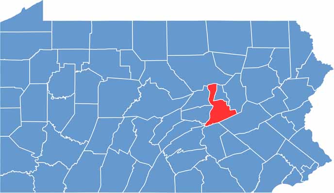

Location map of Northumberland County, Pennsylvania
CategoryDetails
County NameNorthumberland County
County SeatSunbury
EtymologyNamed after the Duke of Northumberland
Cities, Towns, and CommunitiesSunbury, Shamokin, Milton, Mount Carmel, Watsontown, Northumberland
Interstates and HighwaysInterstate 180, U.S. Highway 11, U.S. Highway 15, State Highway 61
FIPS Code42-097
Total Area (Land and Water)478 square miles (458 sq mi land, 20 sq mi water)
Adjacent Counties (and Direction)Lycoming County (North), Montour County (Northeast), Columbia County (East), Schuylkill County (Southeast), Dauphin County (South), Perry County (Southwest), Juniata County (West), Snyder County (West), Union County (West)
Time ZoneEastern Time Zone (EST)
StatePennsylvania
Coordinates40°52’N, 76°43’W
Major LandmarksShikellamy State Park, Knoebels Amusement Resort, Joseph Priestley House
PopulationApproximately 89,000
Scroll to Top