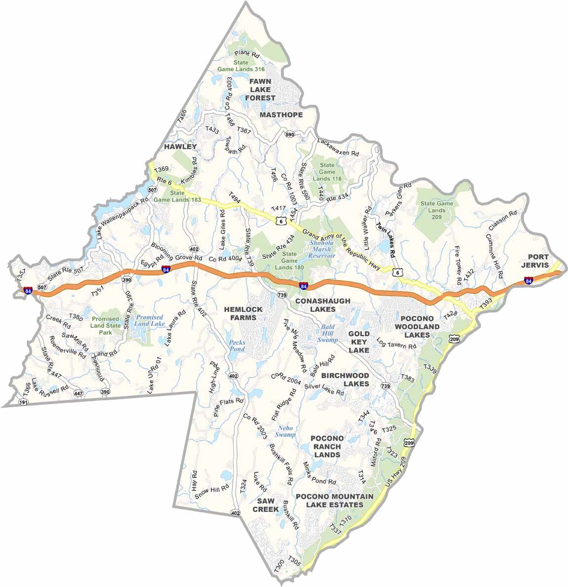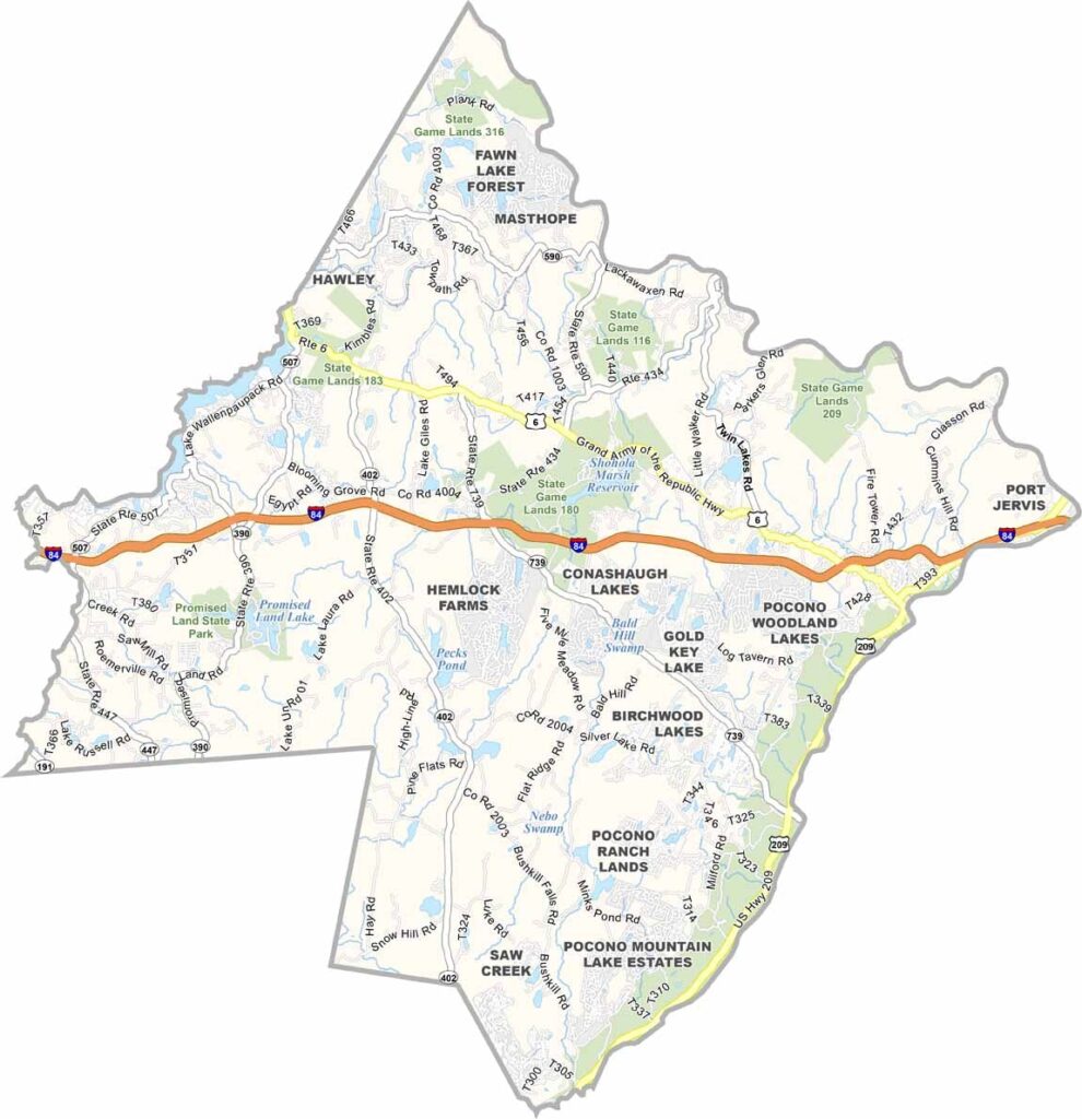
Pike County Map, Pennsylvania

Pike County, Pennsylvania

Pike County lies in northeastern Pennsylvania, where the Pocono Mountains dominate the landscape. Lakes, waterfalls, and forests draw visitors all year long, and Milford serves as the county seat.

Locals take pride in their slice of Americana. Hiking trails crisscross the Delaware Water Gap National Recreation Area, and Bushkill Falls, known as "The Niagara of Pennsylvania," never fails to impress.

Winter brings skiers and snowboarders to the slopes, while summer sends kayakers paddling down the Delaware River. The county's natural beauty is its greatest asset.
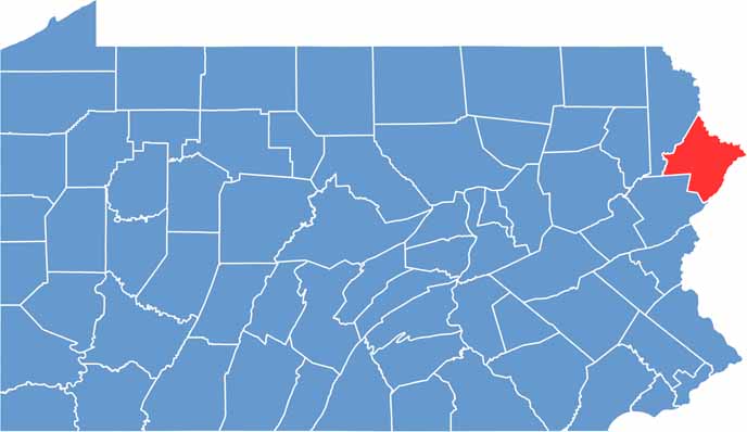

Location map of Pike County, Pennsylvania
CategoryDetails
County NamePike County
County SeatMilford
EtymologyNamed after Zebulon Pike, an explorer of the American West
Cities, Towns, and CommunitiesMilford, Matamoras, Dingmans Ferry, Blooming Grove, Shohola
Interstates and HighwaysInterstate 84, U.S. Highway 6, State Highway 739
FIPS Code42-103
Total Area (Land and Water)567 square miles (545 sq mi land, 22 sq mi water)
Adjacent Counties (and Direction)Sullivan County, New York (Northeast), Orange County, New York (East), Sussex County, New Jersey (East), Warren County, New Jersey (Southeast), Monroe County (Southwest), Wayne County (Northwest)
Time ZoneEastern Time Zone (EST)
StatePennsylvania
Coordinates41°19’N, 74°53’W
Major LandmarksDelaware Water Gap National Recreation Area, Grey Towers National Historic Site, Lake Wallenpaupack
PopulationApproximately 58,000
Scroll to Top