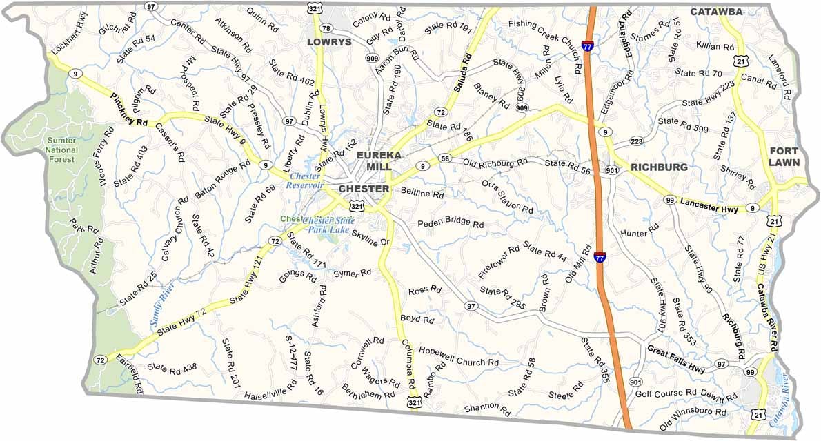
Chester County Map, South Carolina

Chester County, South Carolina

Chester County lies in the northern part of South Carolina. This place has seen its share of history. From Revolutionary War skirmishes to Civil War battles, it’s gone through a lot of change over the years.

Chester is the county seat and still has beautiful old homes from the 19th century. You can almost imagine horse-drawn carriages clip-clopping down the streets. But the area has been working to attract new businesses lately.

The county has a mix of farmland and forests. It’s pretty quiet out here. Fishing is big. Just check out the Catawba River or one of the local ponds. Don’t forget Chester State Park, which is a nice spot for a picnic or a round of golf.
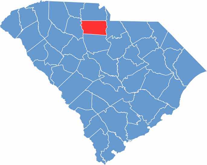

Chester County location map of South Carolina
CategoryDetails
County NameChester County
County SeatChester
PopulationApproximately 32,000
Cities, Towns, and CommunitiesChester, Great Falls, Richburg, Fort Lawn
Interstates and HighwaysInterstate 77, U.S. Highway 21, U.S. Highway 321, State Highway 9
FIPS Code45-023
Total Area (Land and Water)586 square miles (581 sq mi land, 5 sq mi water)
Adjacent Counties (and Direction)York County (North), Lancaster County (East), Fairfield County (South), Union County (West)
Time ZoneEastern Time Zone (EST)
StateSouth Carolina
Coordinates34°43’N, 81°07’W
EtymologyNamed after Chester County, Pennsylvania
Major LandmarksChester State Park, Fishing Creek Reservoir, Sumter National Forest
Scroll to Top