
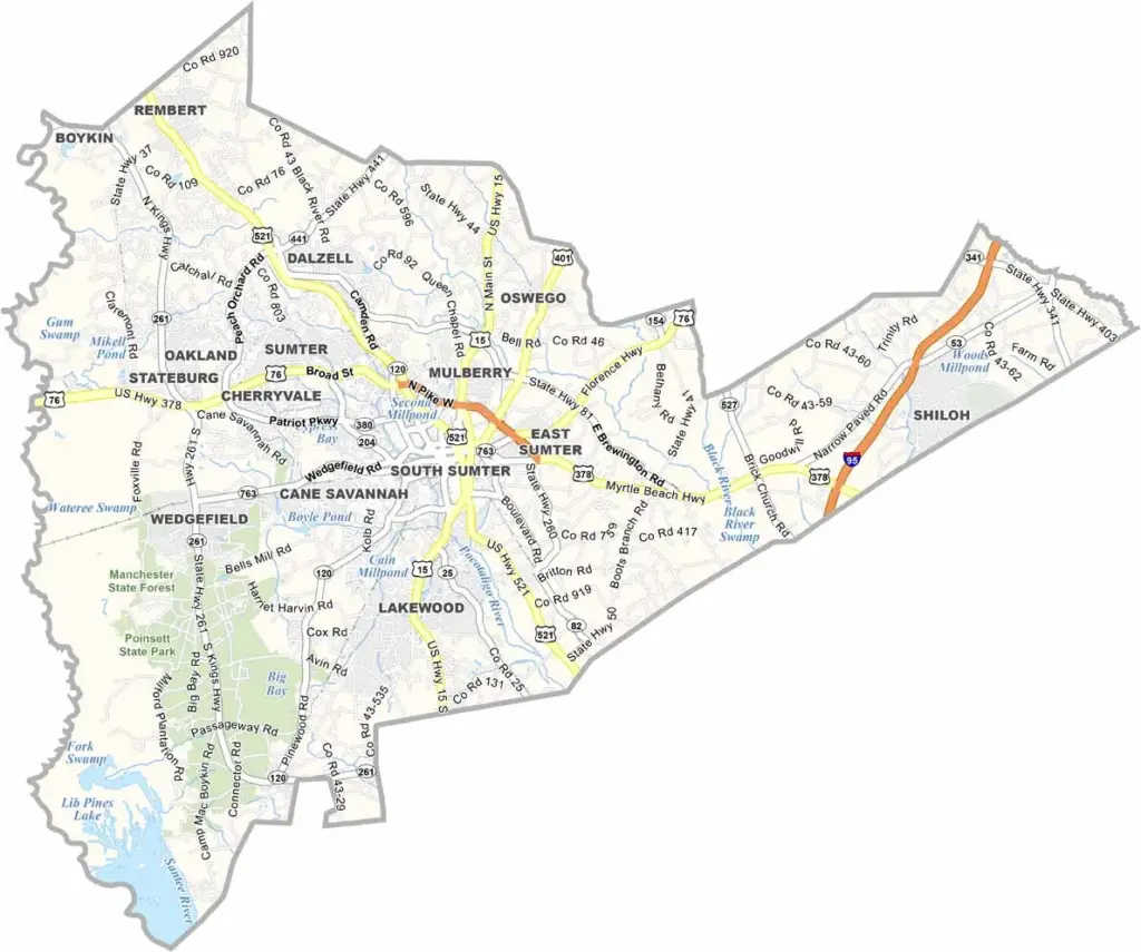
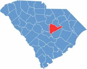
Sumter County is right in the heart of South Carolina. The county seat, Sumter, is known as the "Gamecock City," and boy, do they take their nickname seriously. This is where the action is.
History is alive here, with plantation homes and Civil War sites everywhere. But the county isn't stuck in the past. Swan Lake Iris Gardens is a stunner and the only public park with all eight swan species. Talk about bragging rights.
Shaw Air Force Base keeps things moving forward. Sumter County has a thing for sports too, and its minor league baseball team, the Sumter Braves, packs the stands. Fishing is big here, and locals say Lake Marion has the best catfish around.
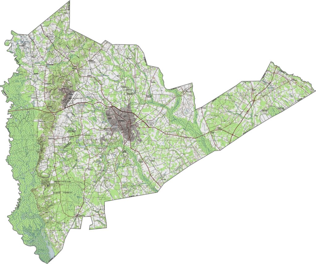
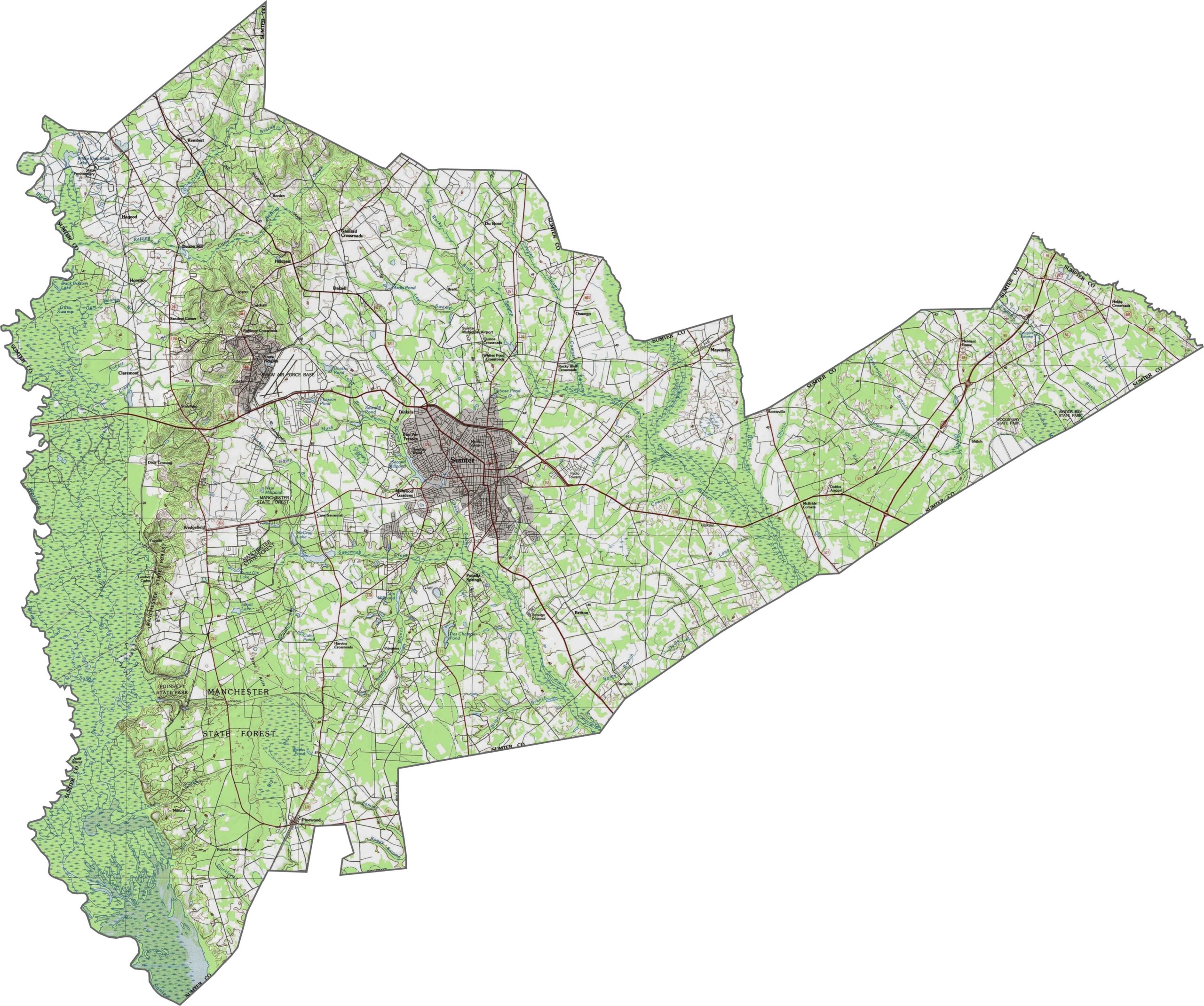
Sumter County is classic Coastal Plain. It just feels low, level, and open. A few subtle ridges cut across the land, and the eastern side dips into wetter ground. The flatness here lets the sky feel bigger. You can zoom in to trace every contour and swamp in our topographic map below.
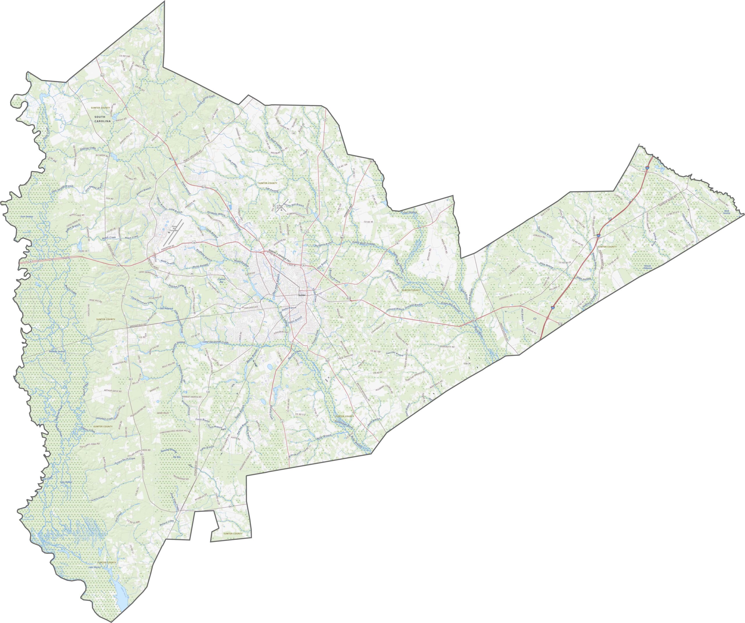
Sumter County sits at a solid midpoint, big enough for a hub and small enough for space. Sumter is the city center where highways like U.S. Highway 15, U.S. Highway 76, and U.S. Highway 378 converge. Outlying areas feel quieter, but most are within reach.
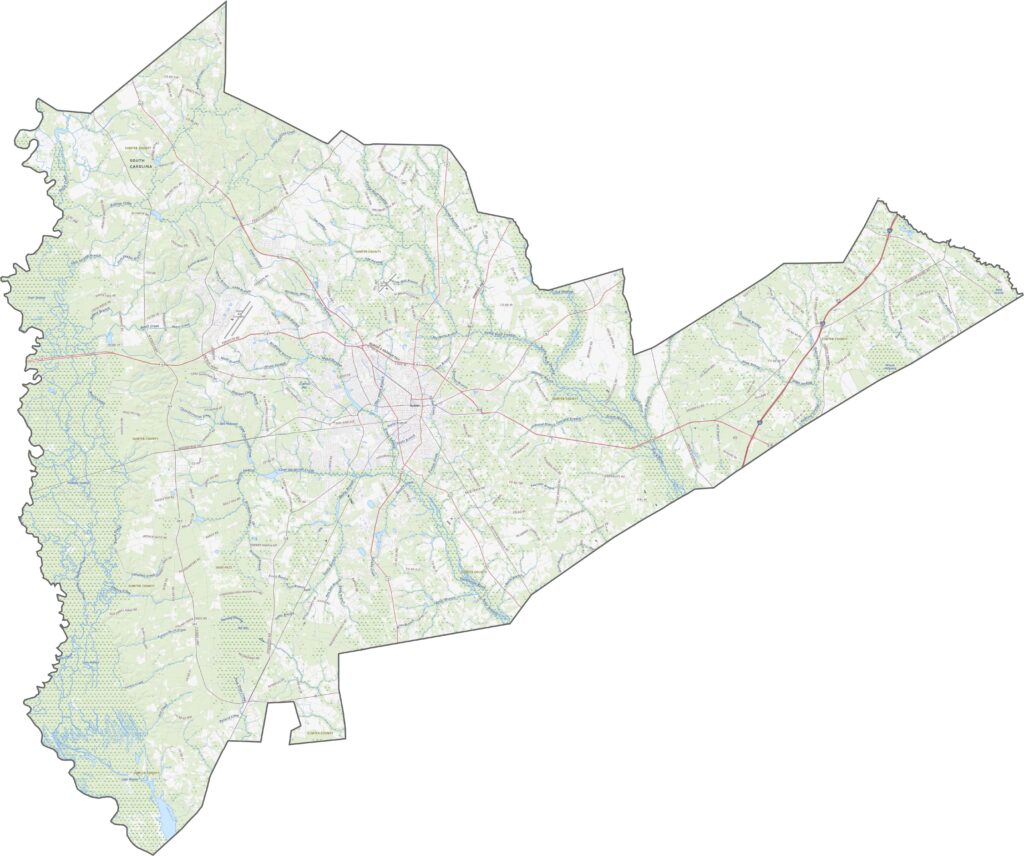
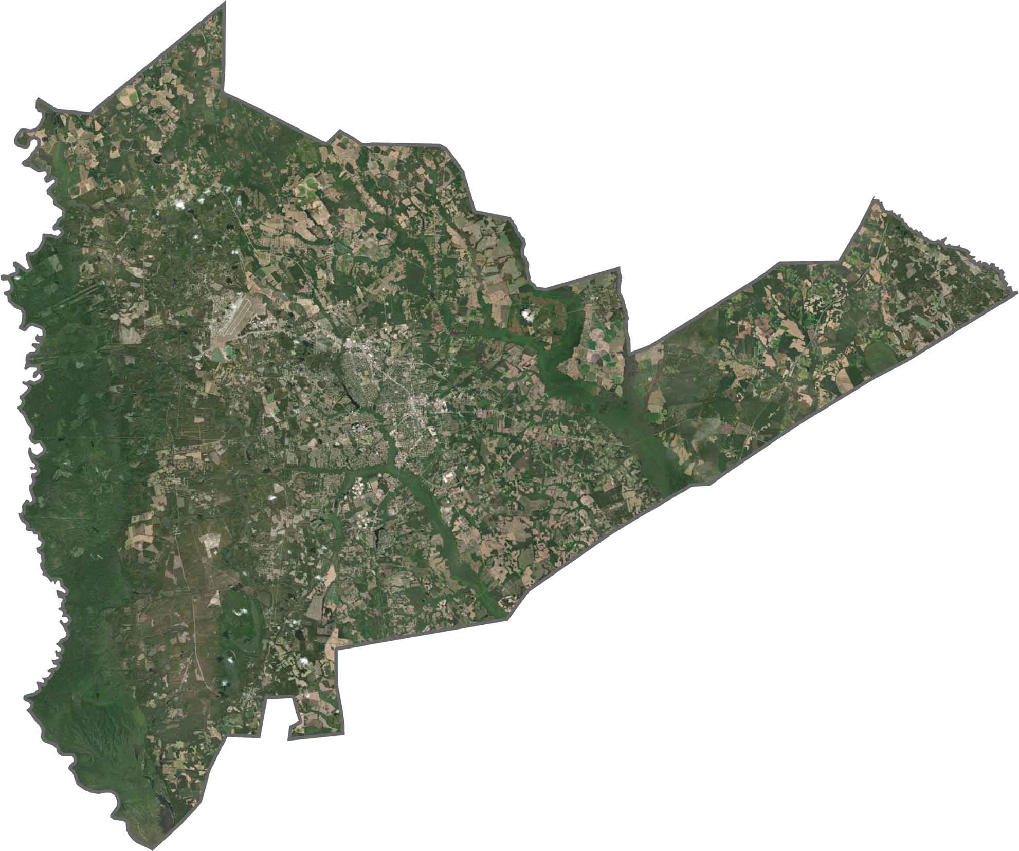
Fields dominate the satellite view, split by long roads and dark green woods. The city of Sumter forms a bright, dense patch at the center. Toward the edges, you'll spot ponds, creeks, and clusters of pine forest. It's a landscape of grids and greens.
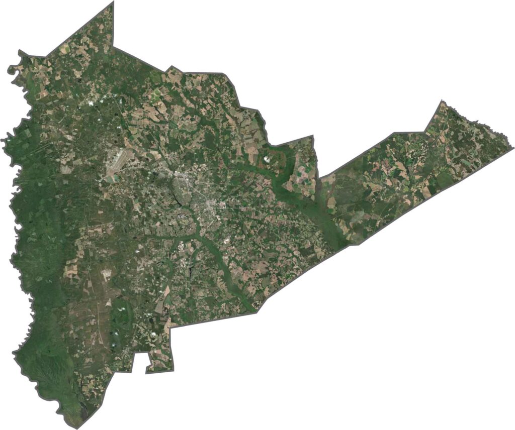
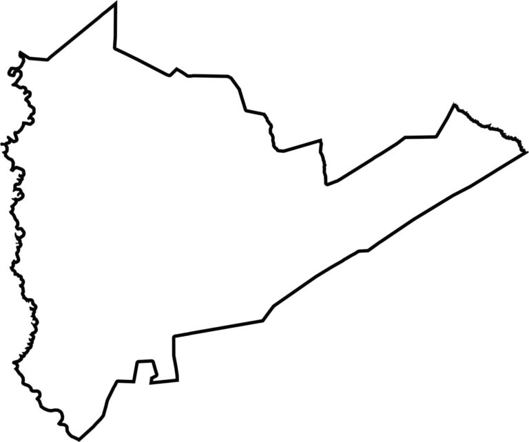
York County has a thick shape stretching in the east-west direction. Its upper edge borders North Carolina. The Broad River foaSumter County is shaped a bit like a guitar, with the east sticking out like the part where you tune the strings. The county is surrounded entirely by other South Carolina counties. The Wateree River forms the western border.rms its western edge, while Lake Wylie makes up part of the northeast boundary.








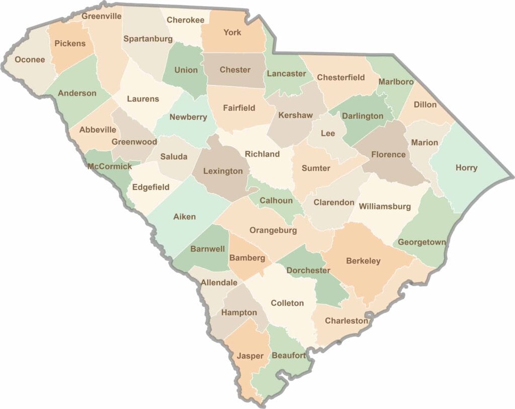
South Carolina’s 46 counties each have their own personality. Some are all about beach vibes, while others are steeped in history. You’ll find gators, grits, and gospel here—sometimes all in the very same afternoon.