
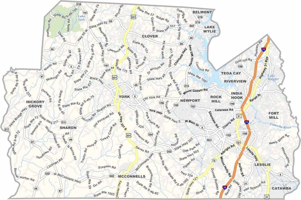
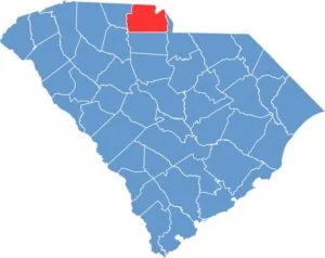
York County sits in the northern part of South Carolina, right on the border with North Carolina. The Catawba River is a major player here, offering up some prime recreation spots.
History runs deep in these parts. The Revolutionary War left its mark, and you can still visit battlefields today. The county is also home to Winthrop University, founded in 1886.
Rock Hill, the largest city, has a killer food scene. Try the pimento cheese, a local staple. Sports fans get their fix at the BMX Supercross Track, which is world-class.
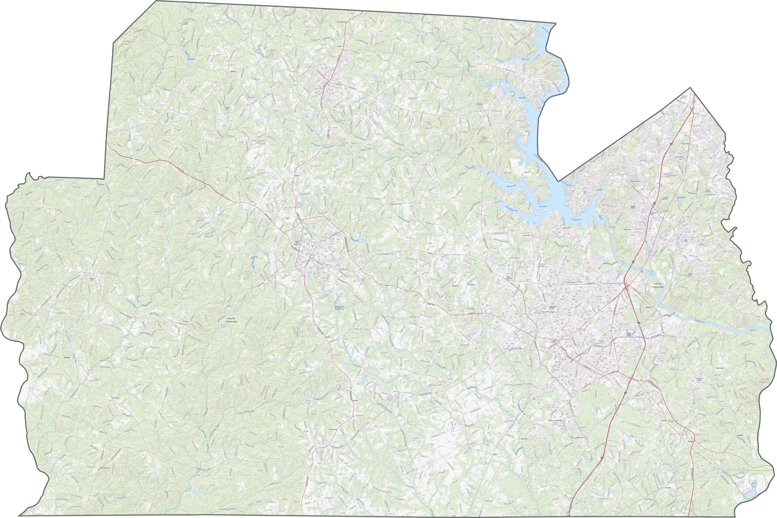
York County has a solid set of highways, especially in the eastern half, where Charlotte's influence spreads across the border. Main routes connect fast-growing towns, especially Interstate 77. U.S. Highway 321 is another big route, as traffic picks up in the north, while the southern end stays more relaxed.
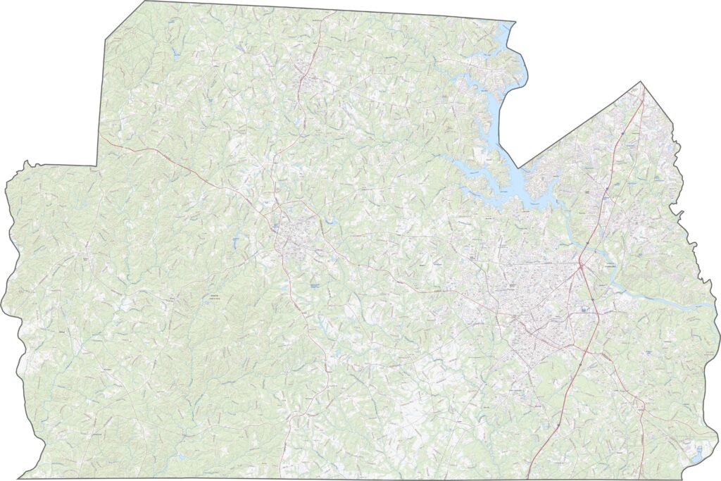
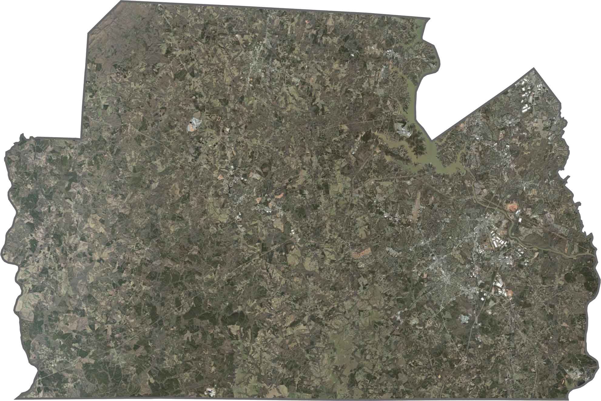
The eastern half looks busy with neighborhoods, highways, and commercial zones. Farther west, trees take over, with forests stretching long and broken up by lakes and urban development. From above, it's half suburb, half green retreat.
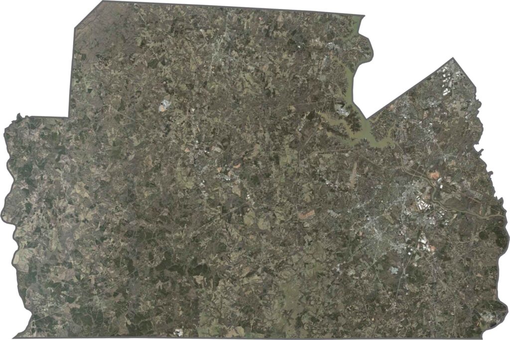
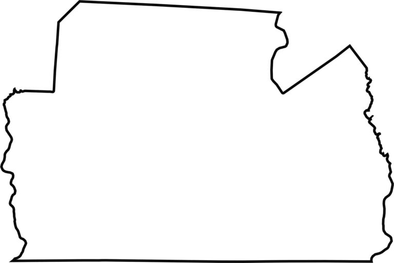
York County has a thick shape stretching in the east-west direction. Its upper edge borders North Carolina. The Broad River forms its western edge, while Lake Wylie makes up part of the northeast boundary.








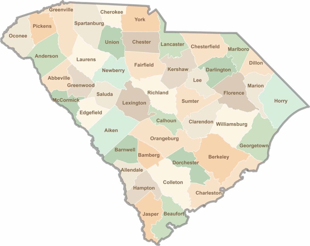
South Carolina’s 46 counties each have their own personality. Some are all about beach vibes, while others are steeped in history. You’ll find gators, grits, and gospel here—sometimes all in the very same afternoon.