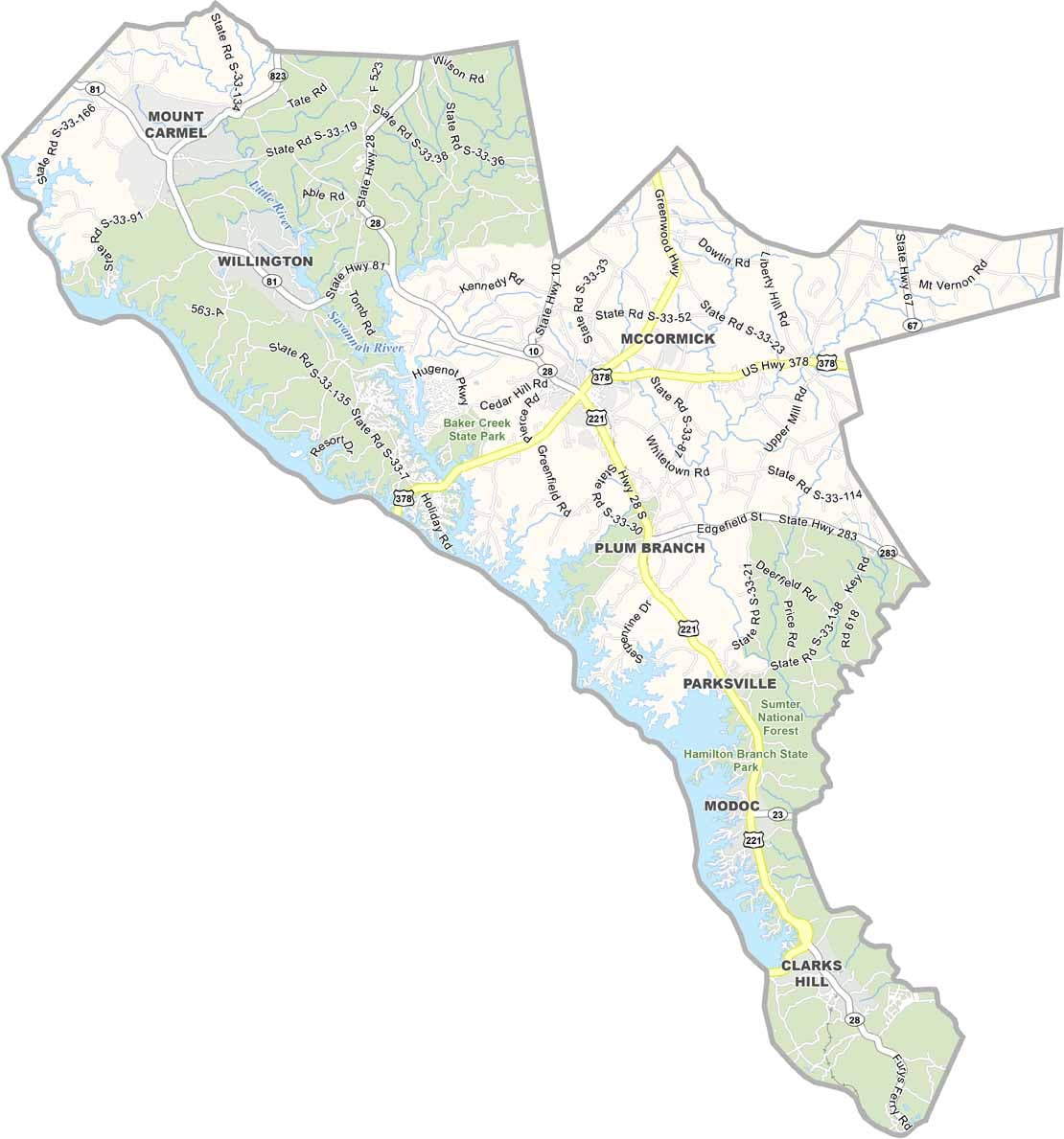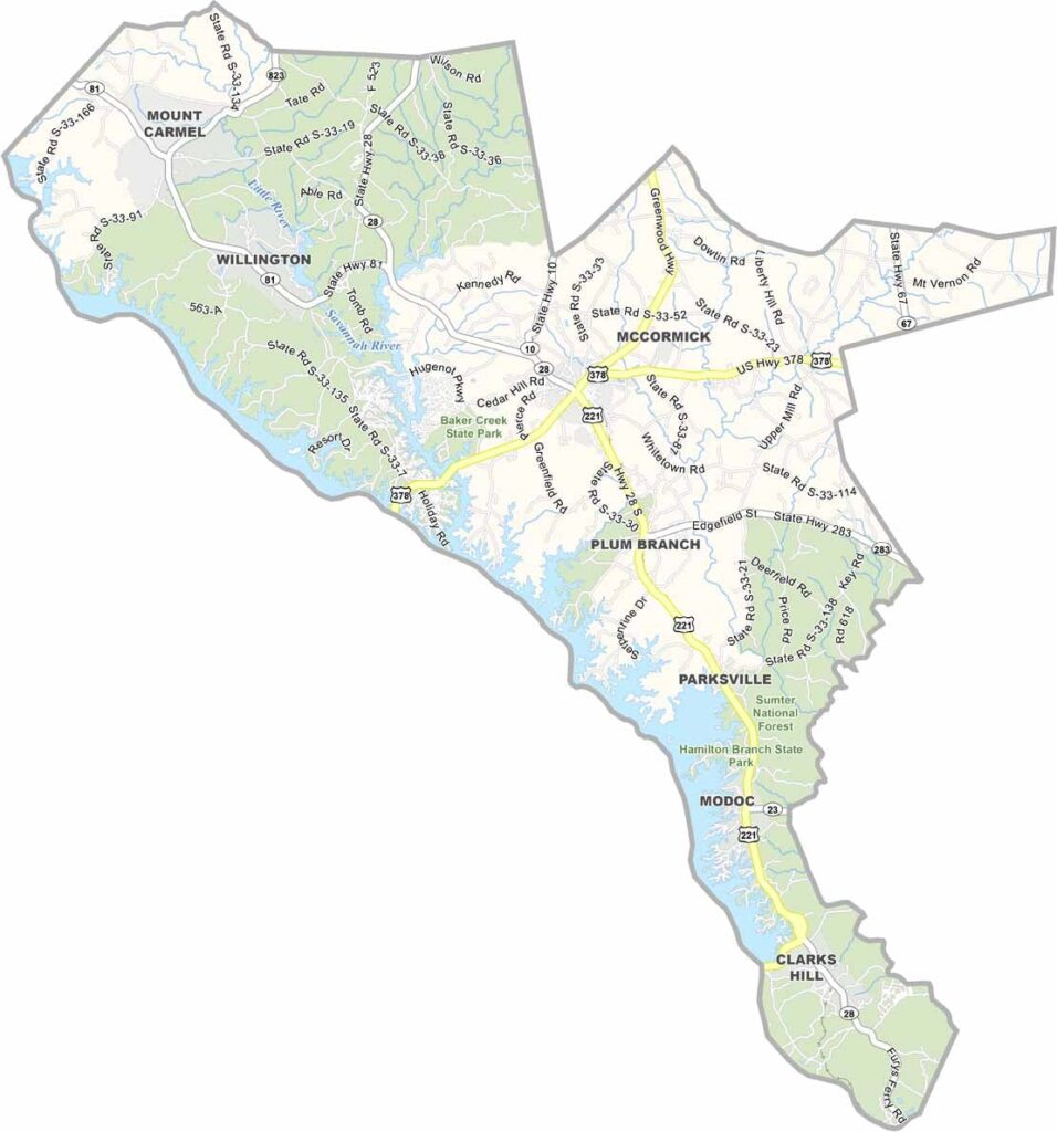
McCormick County Map, South Carolina

McCormick County, South Carolina

McCormick County is tucked away in western South Carolina, right on the Georgia border. It's the definition of small-town America and one of the least populous counties in the state. But what it lacks in people, it makes up for in outdoor fun.

Sumter National Forest covers a big chunk of the county, making it a paradise for hiking and camping. The county also has an interesting origin story. It was created in 1916 from parts of other counties, mainly to break up some political feuds. Smart move, guys.

Lake Thurmond forms the western border. It's massive, with over 1,000 miles of shoreline, and offers fishing, boating, and plenty more. The county seat, also called McCormick, is a nice little town with some cool historic buildings worth checking out.
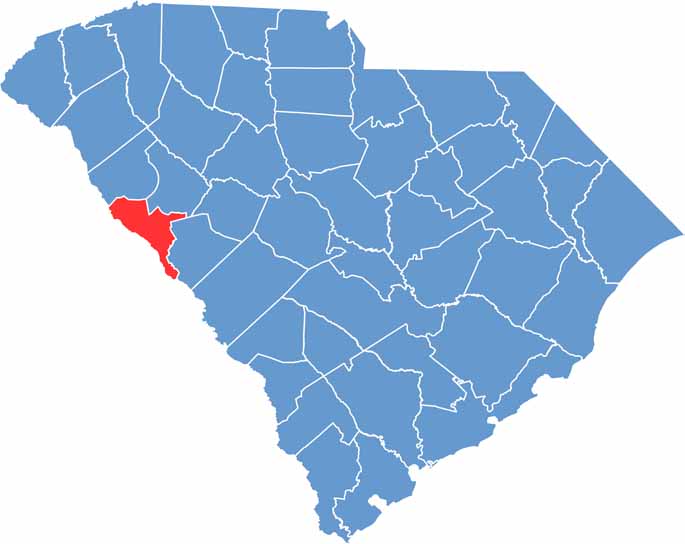

Location map of McCormick County, South Carolina
CategoryDetails
County NameMcCormick County
County SeatMcCormick
EtymologyNamed after Cyrus McCormick, the inventor of the mechanical reaper
Cities, Towns, and CommunitiesMcCormick, Modoc, Parksville
Interstates and HighwaysU.S. Highway 378, State Highway 28
FIPS Code45-065
Total Area (Land and Water)394 square miles (359 sq mi land, 35 sq mi water)
Adjacent Counties (and Direction)Greenwood County (Northeast), Edgefield County (East), Columbia County, Georgia (South), Lincoln County, Georgia (West), Elbert County, Georgia (Northwest), Abbeville County (Northwest)
Time ZoneEastern Time Zone (EST)
StateSouth Carolina
Coordinates33°54'N, 82°18'W
Major LandmarksHickory Knob State Park, Baker Creek State Park, Savannah Lakes Village
Scroll to Top