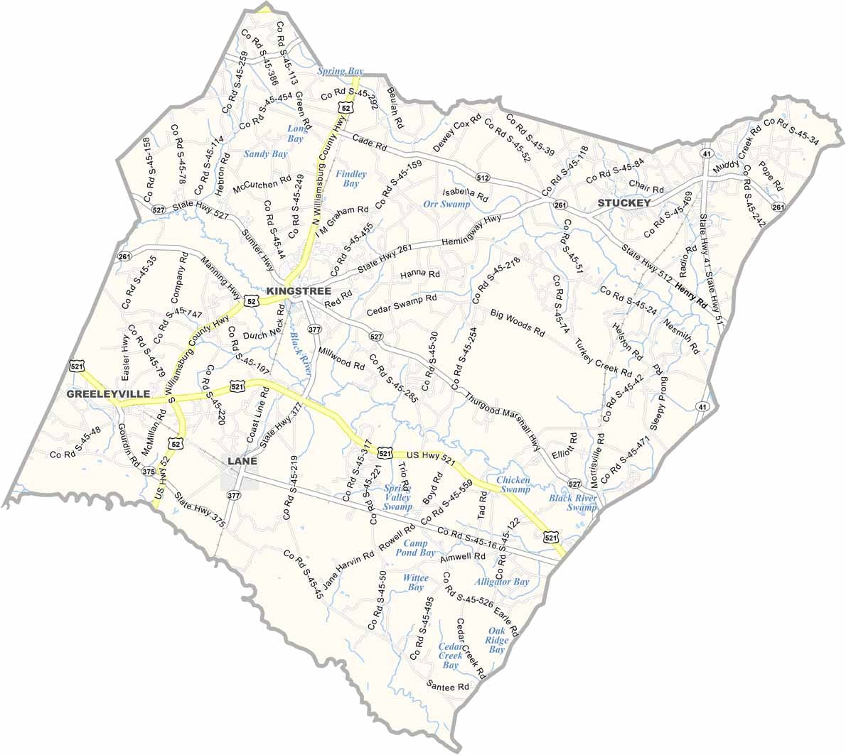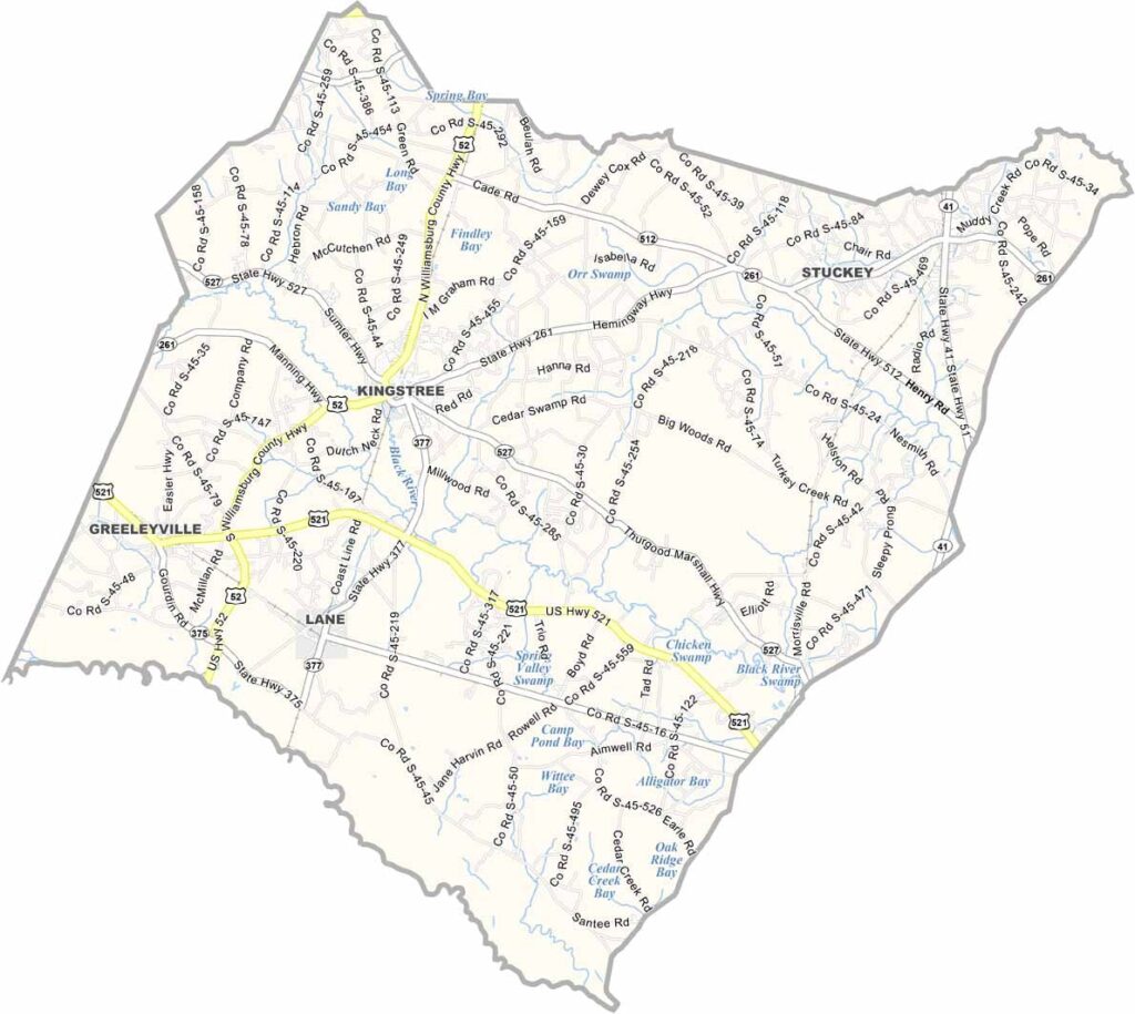
Williamsburg County Map, South Carolina

Williamsburg County, South Carolina

Williamsburg County is located in northeastern South Carolina’s coastal plain. It’s the kind of place where life seems to move a little slower, in the best way. Kingstree serves as the county seat and features a historic downtown.

Tobacco was once the leading industry here, and old warehouses can still be found throughout the county. The Black River winds through the area, including through the town of Kingstree.

The county fair is a major event in Williamsburg County. Think prize hogs, tractor pulls, and enough funnel cake to feed an army. Nature lovers also head to the Santee National Wildlife Refuge for bird watching and other outdoor activities.
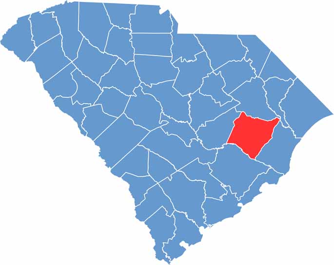

Location map of Williamsburg County, South Carolina
CategoryDetails
County NameWilliamsburg County
County SeatKingstree
EtymologyNamed after King William III of England
Cities, Towns, and CommunitiesKingstree, Hemingway, Greeleyville, Lane, Stuckey
Interstates and HighwaysU.S. Highway 52, U.S. Highway 378, State Highway 261
FIPS Code45-089
Total Area (Land and Water)937 square miles (934 sq mi land, 3 sq mi water)
Adjacent Counties (and Direction)Florence County (North), Marion County (Northeast), Georgetown County (East), Berkeley County (South), Clarendon County (West)
Time ZoneEastern Time Zone (EST)
StateSouth Carolina
Coordinates33°38’N, 79°49’W
Major LandmarksWilliamsburg County Courthouse, Santee River, Black River Swamp
PopulationApproximately 30,000
Scroll to Top