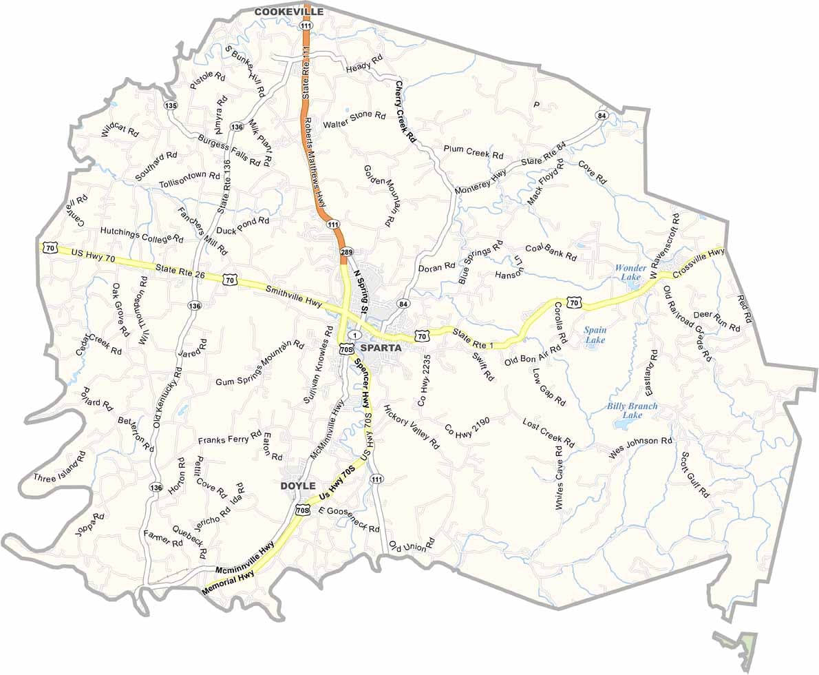
White County Map, Tennessee

White County, Tennessee

White County is right in the heart of Tennessee. Sparta is the county seat. And yes, it’s named after that Sparta. Visitors might enjoy the Sparta Rock House, an old stagecoach stop dating back to earlier days.

The Calfkiller River runs through the county. Weird name, I know. It’s actually great for kayaking. White County has plenty of natural beauty. Lost Creek Falls is a must-see, disappearing right into a cave. Speaking of caves, there are tons around here. The whole area is like Swiss cheese underground.

The county is also known for its bluegrass music scene. They host some pretty great festivals. And if you’re into motorcycles, there are some amazing rides through the countryside. That’s right. The views are incredible.
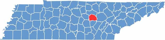
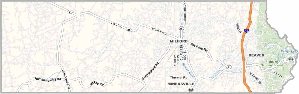
White County location map of Tennessee
CategoryDetails
County NameWhite County
County SeatSparta
PopulationApproximately 28,000
Cities, Towns, and CommunitiesSparta, Doyle, Bon Air, Cassville
Interstates and HighwaysU.S. Highway 70, State Highway 111
FIPS Code47-185
Total Area (Land and Water)379 square miles (377 sq mi land, 2 sq mi water)
Adjacent Counties (and Direction)Putnam County (North), Cumberland County (East), Van Buren County (South), Warren County (Southwest), DeKalb County (West)
Time ZoneCentral Time Zone (CST)
StateTennessee
Coordinates35°56’N, 85°28’W
EtymologyNamed after John White, an early settler and surveyor in the area
Major LandmarksVirgin Falls State Natural Area, Rock Island State Park, Burgess Falls State Park
Scroll to Top