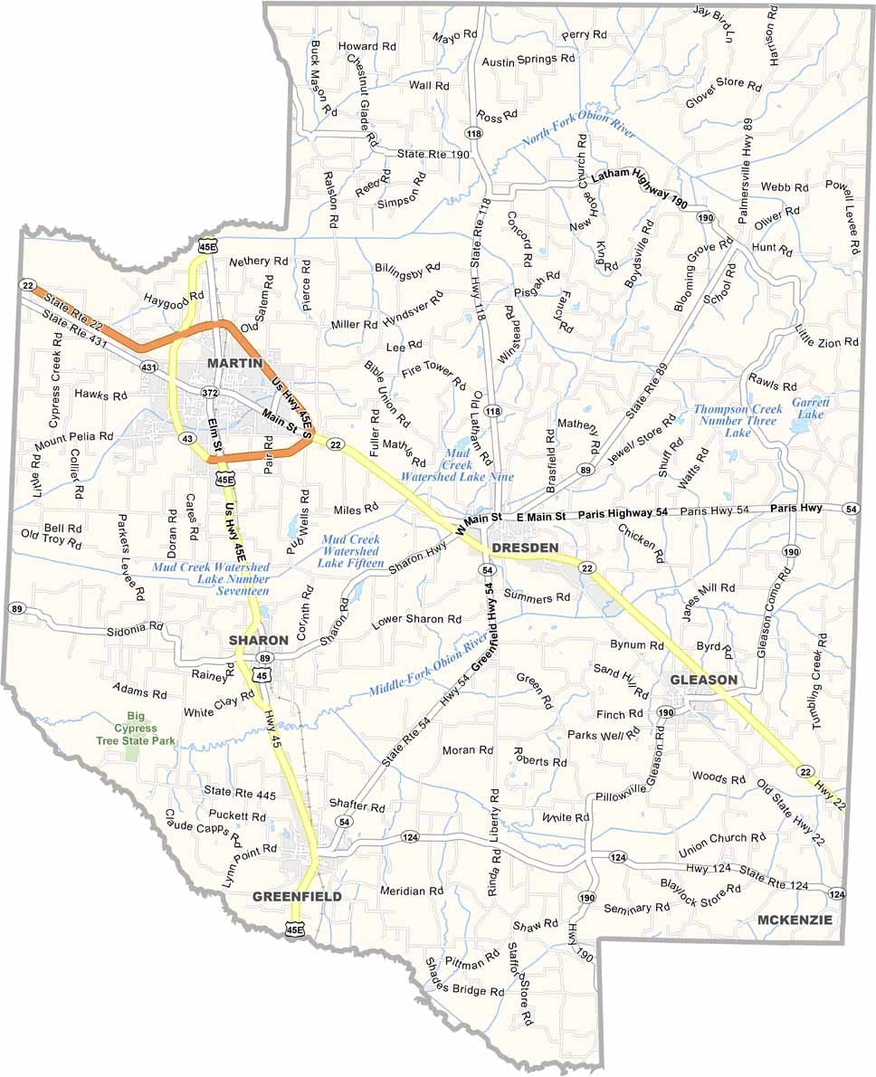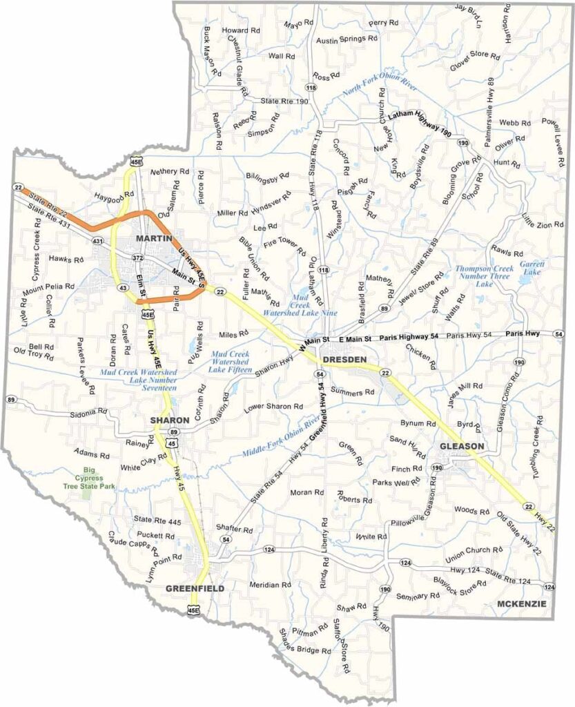
Weakley County Map, Tennessee

Weakley County, Tennessee

Weakley County sits in northwest Tennessee, part of the lake region. Martin is the largest town and home to the University of Tennessee at Martin. Go Skyhawks!

Agriculture is one of the main economic drivers here. Corn, soybeans, you’ll see fields stretching for miles. There’s also a surprising amount of industry throughout the county.

Dresden, the county seat, has an old courthouse square. The county is also part of the American Discovery Trail, a long-distance hiking trail that stretches from coast to coast.
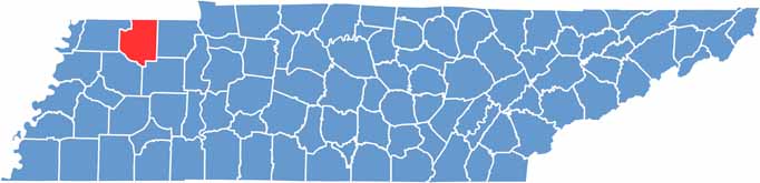
Weakley County location map of Tennessee
CategoryDetails
County NameWeakley County
County SeatDresden
PopulationApproximately 32,000
Cities, Towns, and CommunitiesDresden, Martin, Gleason, Greenfield, Sharon
Interstates and HighwaysU.S. Highway 45E, State Highway 22, State Highway 89
FIPS Code47-183
Total Area (Land and Water)582 square miles (580 sq mi land, 2 sq mi water)
Adjacent Counties (and Direction)Hickman County, Kentucky (Northwest), Graves County, Kentucky (North), Henry County (East), Carroll County (Southeast), Gibson County (Southwest), Obion County (West)
Time ZoneCentral Time Zone (CST)
StateTennessee
Coordinates36°20’N, 88°43’W
EtymologyNamed after Robert Weakley, a politician and judge in Tennessee
Major LandmarksUniversity of Tennessee at Martin, Reelfoot Lake, Dresden Farmers Market
Scroll to Top