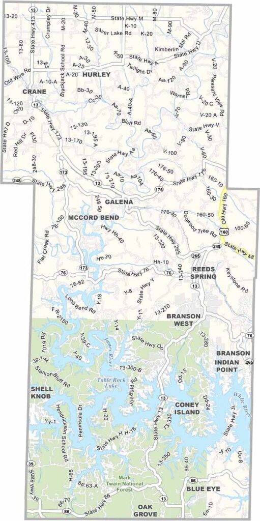
Atascosa County, Texas

Atascosa County is located just south of San Antonio, offering a peaceful rural setting within easy reach of a major city. Ranching and agriculture are central to the local economy, with farms producing crops ranging from peanuts to watermelons.

Interstate 37 runs through the county, connecting communities such as Pleasanton and Jourdanton. Both towns serve as important centers for local activities and events, while Pleasanton proudly embraces its reputation as the “Birthplace of the Cowboy.”

The county has a rich history that dates back to the arrival of Spanish settlers in the 1700s. Although Atascosa County is not among the largest counties in Texas, its combination of rural charm, agricultural traditions, and unmistakable Texas grit makes it an appealing place for those who enjoy a slower pace of life.

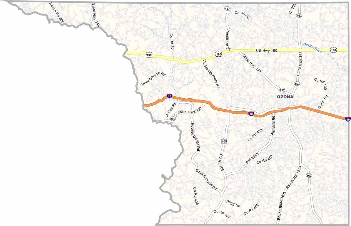
Printable Stone County Missouri location map showing county location and boundaries
CategoryDetails
County NameAtascosa County
County SeatJourdanton
PopulationApproximately 53,000
Cities, Towns, and CommunitiesJourdanton, Pleasanton, Poteet, Charlotte
Interstates and HighwaysInterstate 37, U.S. Highway 281, State Highway 97
FIPS Code48-013
Total Area (Land and Water)1,221 square miles (1,218 sq mi land, 3 sq mi water)
Adjacent Counties (and Direction)Bexar County (North), Wilson County (Northeast), Karnes County (East), Live Oak County (Southeast), McMullen County (South), La Salle County (Southwest), Frio County (West), Medina County (Northwest)
Time ZoneCentral Time Zone (CST)
StateTexas
Coordinates28°54’N, 98°30’W
EtymologyNamed after the Spanish word for “boggy”
Major LandmarksAtascosa County Courthouse, Poteet Strawberry Festival, Pleasanton River Park
Scroll to Top