
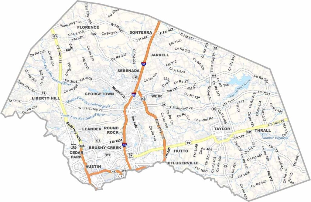
Williamson County is booming. Just north of Austin, the growth is spilling over, and cities like Round Rock, Cedar Park, and Georgetown are exploding.
Dell's headquarters brought in the tech crowd, but it's not all new development. The county has some serious history, too. Sam Bass, the notorious outlaw, met his end here, and Inner Space Cavern is a geological wonder.
Plenty of working ranches remain, and you'll see longhorns grazing alongside new subdivisions. The politics are changing as newcomers arrive, which is causing some friction. But that's Texas for you. Never boring.
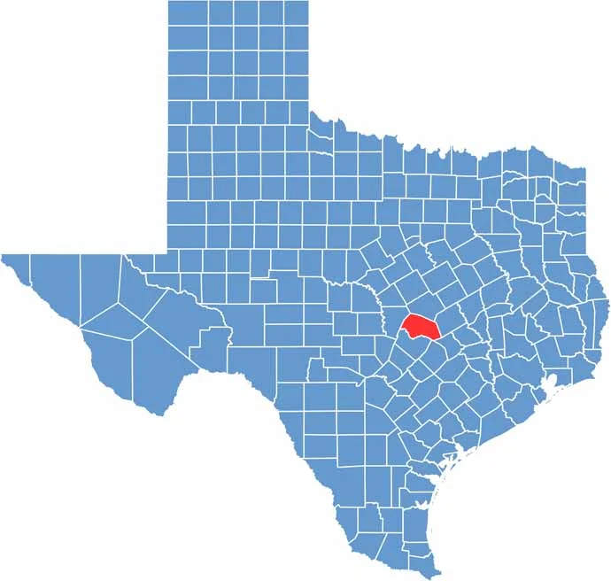
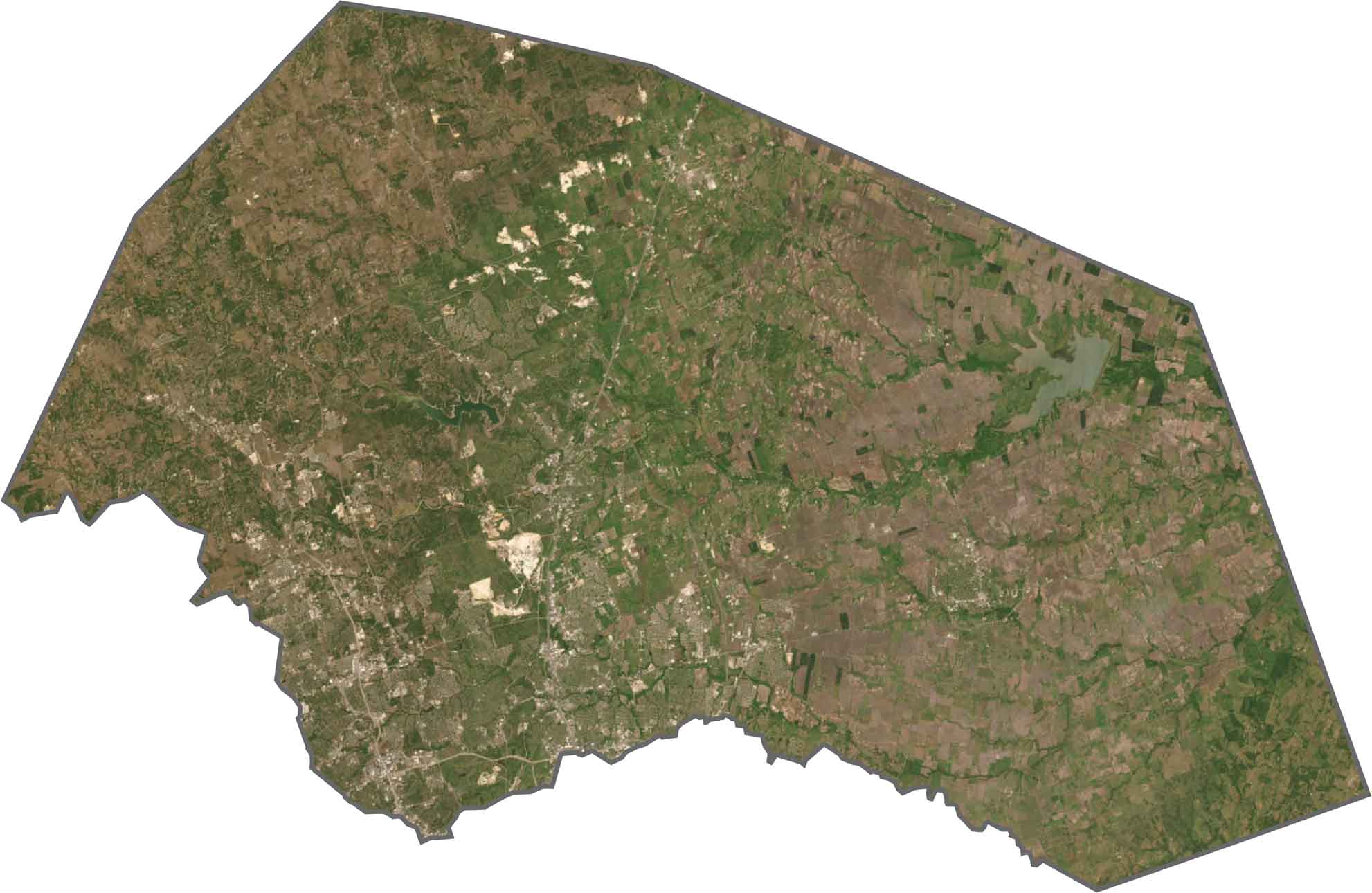
Williamson County lies at the transition from Blackland Prairie to Hill Country. The eastern side is flat and fertile, while the west breaks into ridges and clear-flowing creeks.
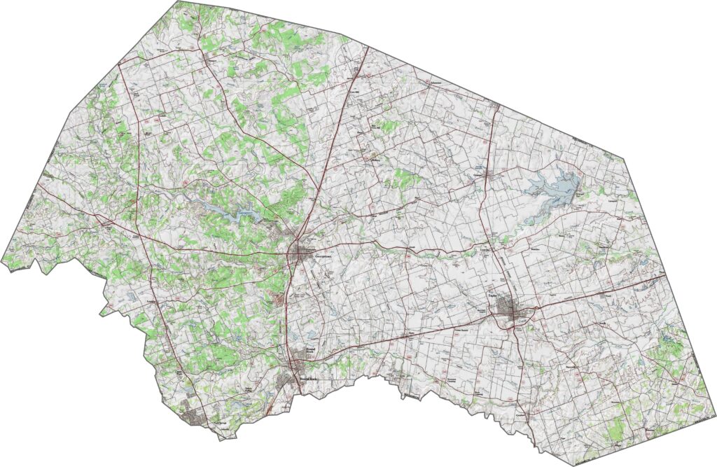
Roads slice cleanly through the county, linking Georgetown, Round Rock, and the edge of Austin. Major routes are fast and crowded, especially on the southern end.
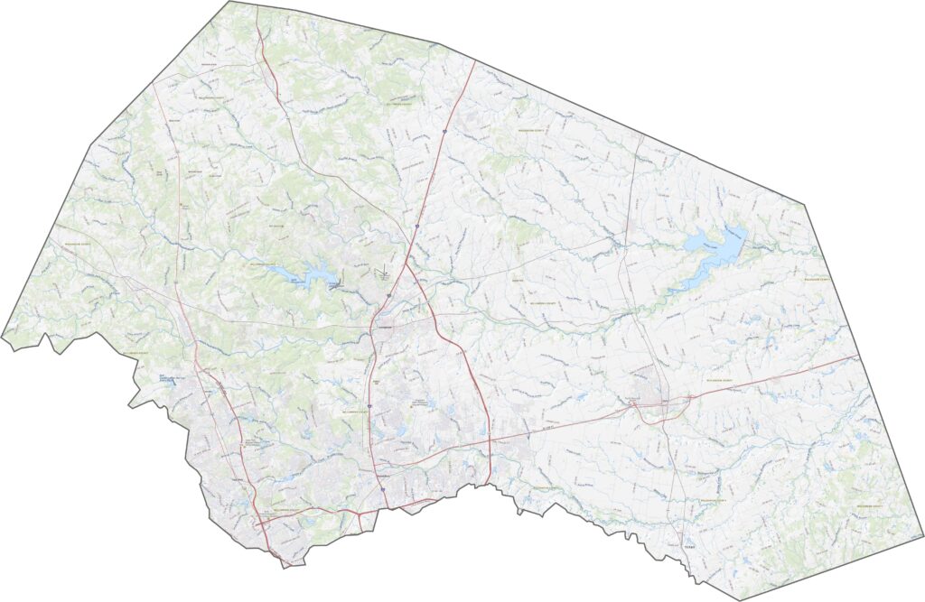
Dense development fills the southern half, especially around Round Rock. West of the escarpment, however, the land changes quickly, with trees, hills, and darker terrain coming into view.
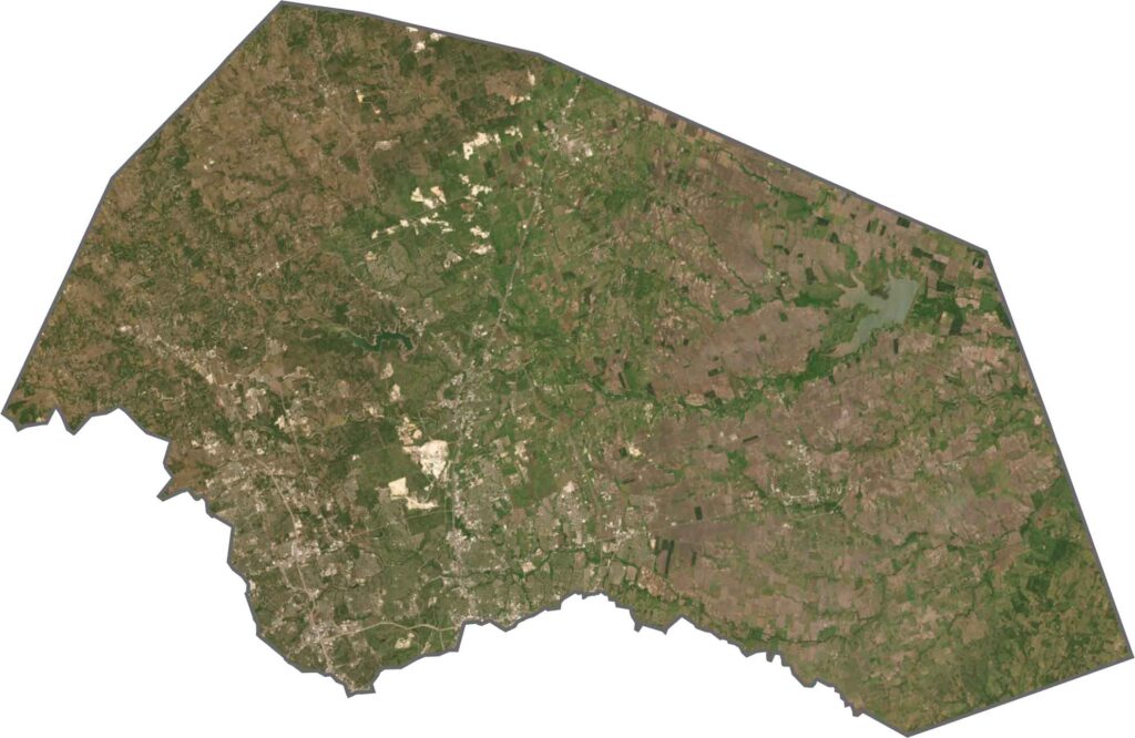
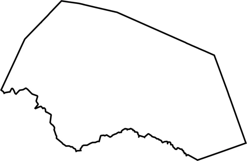
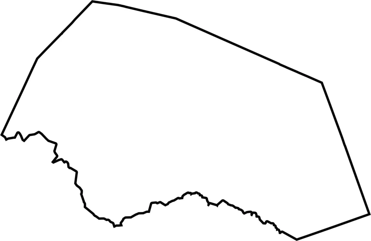
Williamson County has an irregular outline. It has no border rivers and no neighboring states. The southern border is curvy, while the other borders run straight.







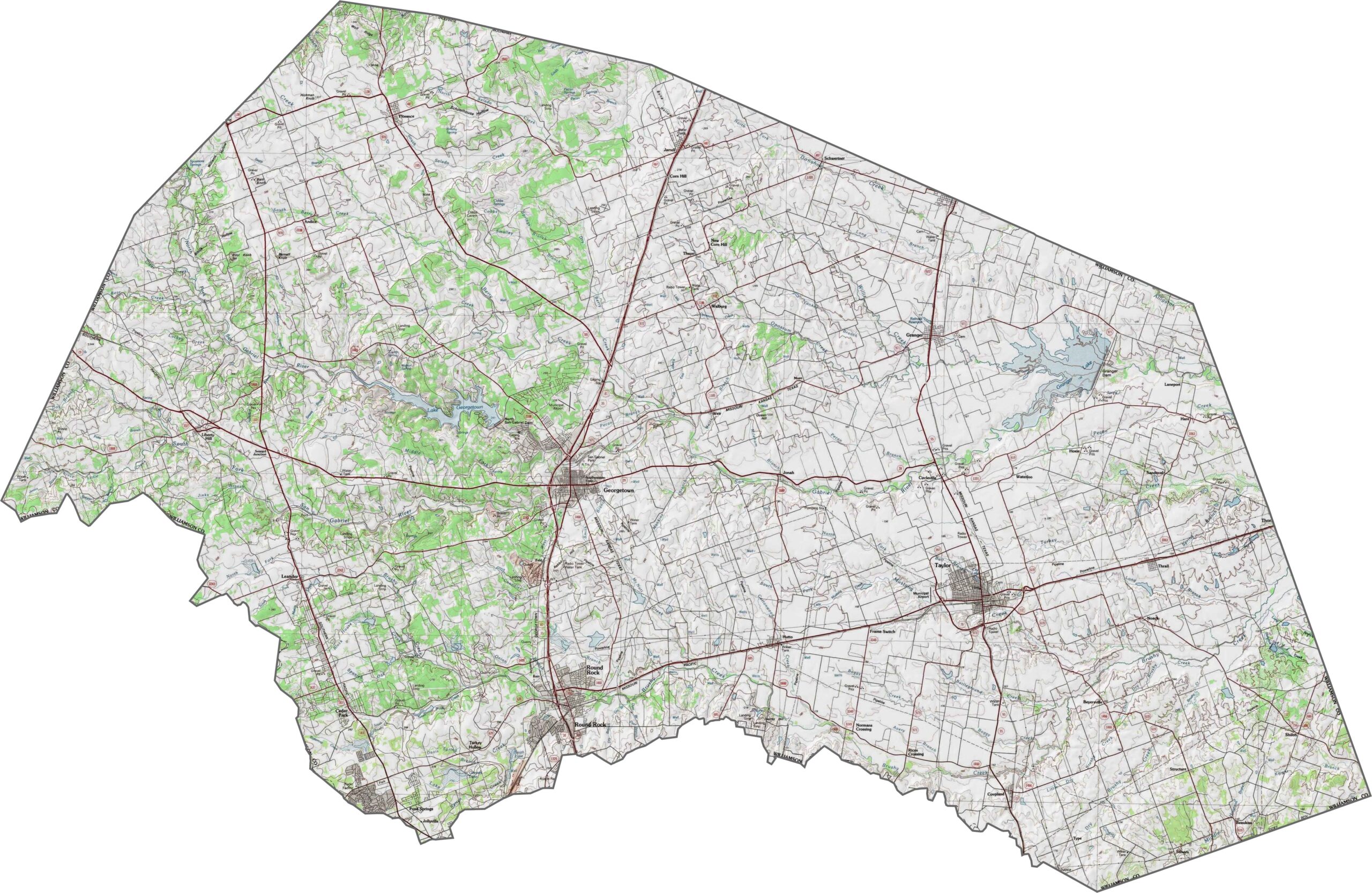
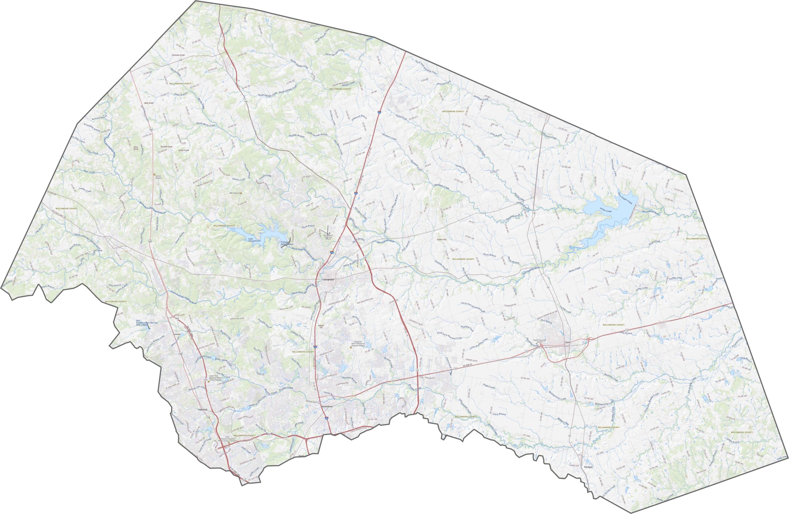

Discover all 254 legendary Texas county maps, covering the Lone Star State from the Panhandle to the Rio Grande. That means more rodeos, honky-tonk, and Texas BBQ.