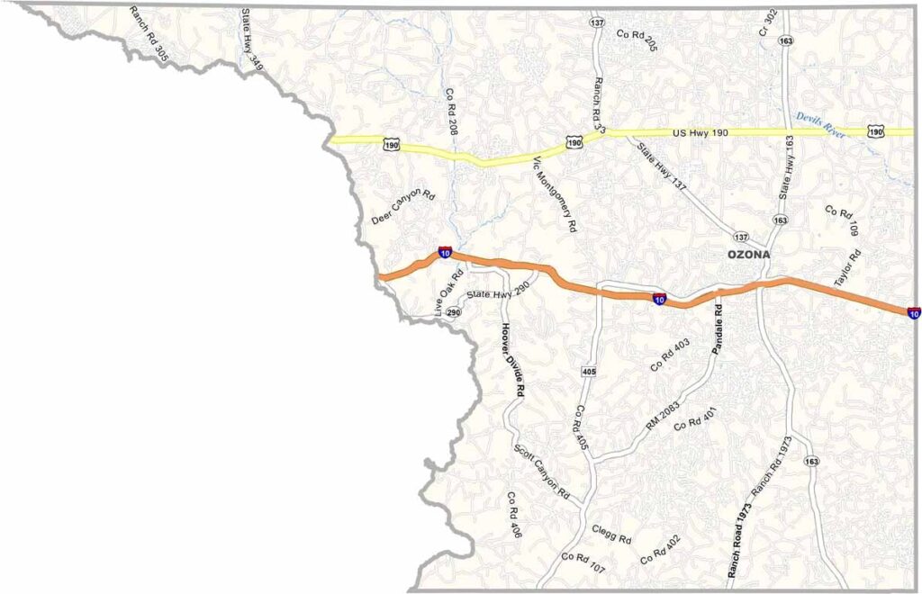
Crockett County, Texas

Crockett County is Texas at its wildest. It’s one of the state’s largest counties, planted deep in West Texas where the open land seems to go on forever. Ozona is the only town around, sitting alone in a county full of wide-open country.

Ranching is the heartbeat here, with sheep and goats outnumbering people by a mile. The terrain is rough and beautiful, filled with mesas, canyons, and endless skies. It’s the kind of landscape that reminds you just how vast Texas really is.

Travelers, don’t rush past this place. Crockett County is home to remarkable prehistoric rock art carved into canyon walls thousands of years ago. It’s history you can see with your own eyes. Oil and gas help drive the local economy, but the welcoming spirit of Ozona is what leaves a lasting impression. If you’re cruising along I-10, it’s worth pulling over for a while.
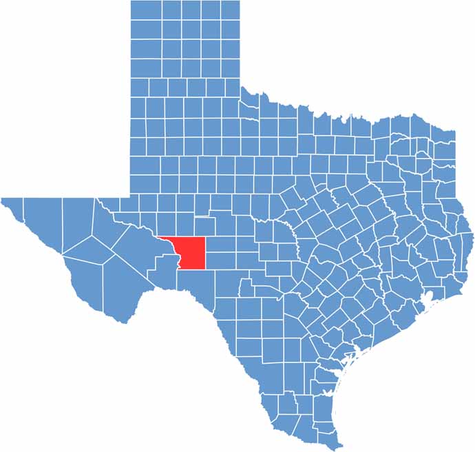
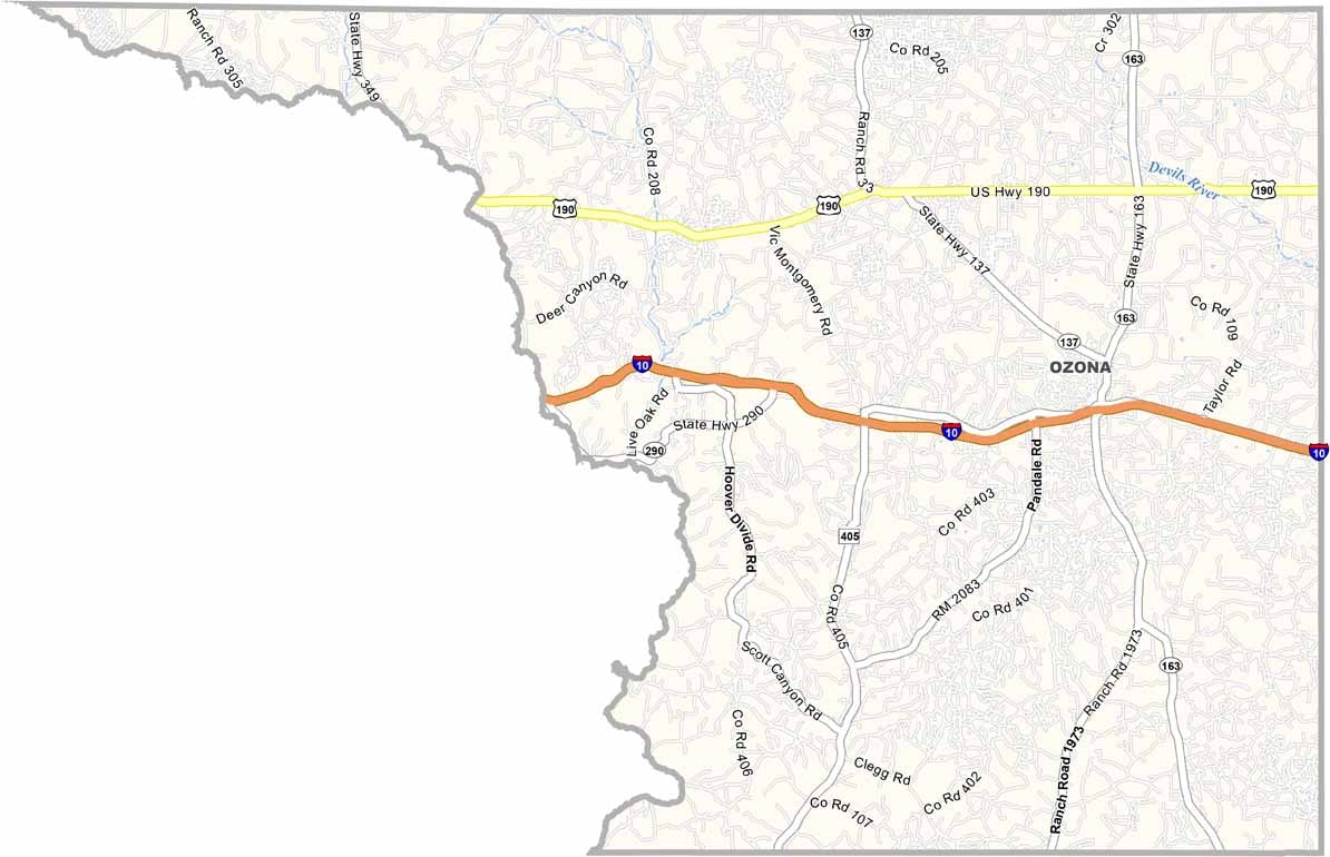
Crockett Location Map showing towns, roads, and geographic features in Texas.
Category Details
County Name Crockett County
County Seat Ozona
Cities, Towns, and Communities Ozona
Interstates and Highways Interstate 10, U.S. Highway 190
Etymology Named after Davy Crockett, a 19th-century American folk hero and soldier who died at the Battle of the Alamo
FIPS Code 48-105
Total Area (Land and Water) 2,807 square miles (2,806 sq mi land, 1 sq mi water)
Time Zone Central Time Zone (CT)
State Texas
Coordinates 30°42’N, 101°20’W
Major Landmarks Crockett County Museum, Fort Lancaster State Historic Site, Caverns of Sonora
Adjacent Counties (and Direction) Upton County (North), Reagan County (North), Irion County (Northeast), Schleicher County (East), Sutton County (East), Val Verde County (South), Terrell County (South), Pecos County (West), Crane County (Northwest)
Population Approximately 3,800
Scroll to Top