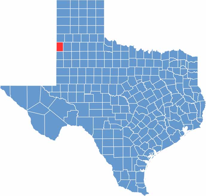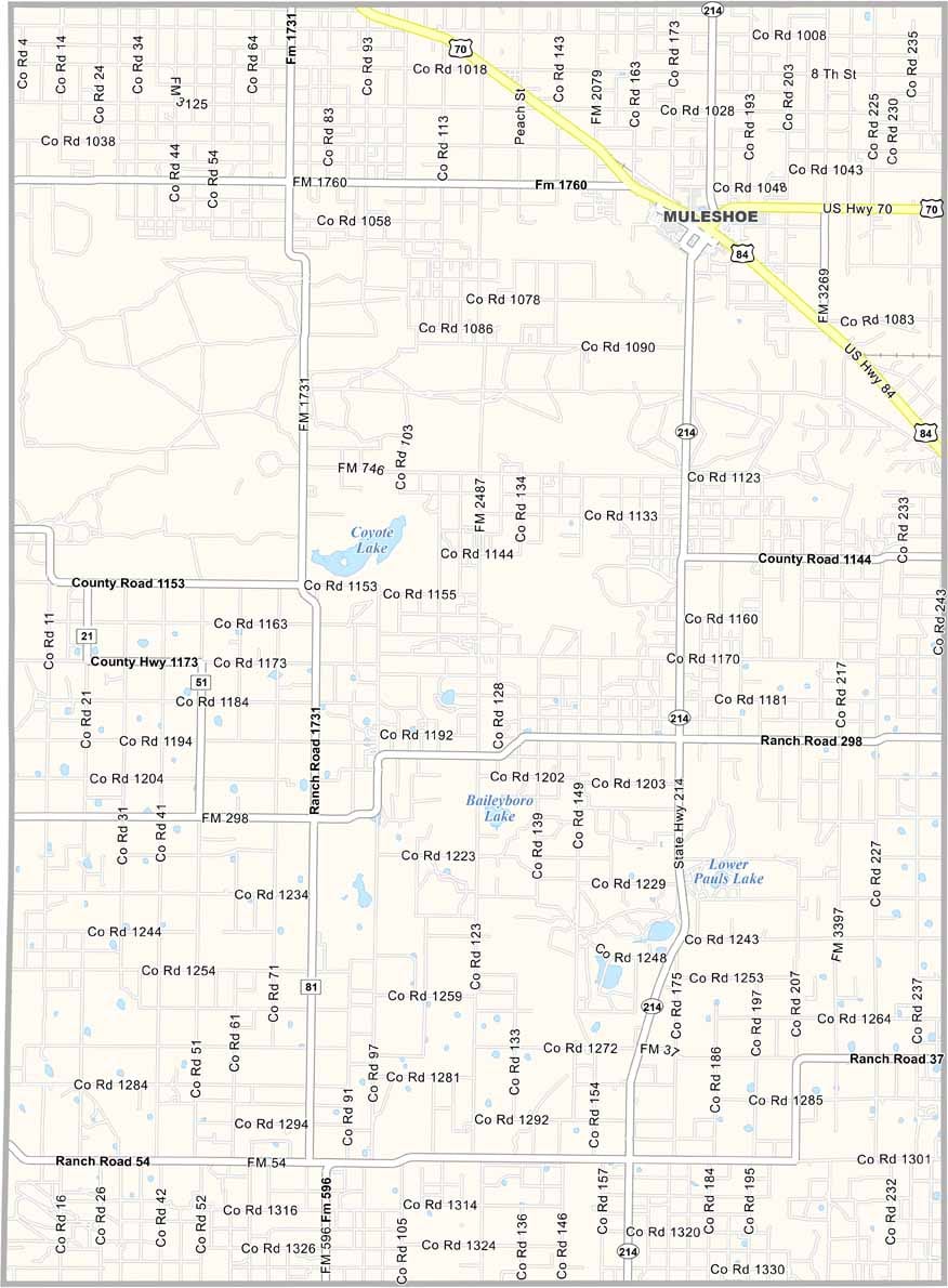
Bailey County is located in the far western Texas Panhandle, where the landscape is remarkably flat and the horizon seems to stretch endlessly. Muleshoe is the county’s main community, with its name tracing back to an old ranch brand.
One of the area’s highlights is the Muleshoe National Wildlife Refuge, a seasonal haven for sandhill cranes and other wildlife. Agriculture plays a major role in the local economy, with farmers producing crops such as cotton and sorghum.
Life in Bailey County reflects the resilience of the land and its people. Farming and ranching communities are hardworking and close-knit, and it’s not unusual to see farm equipment sharing the road with everyday traffic. With wide-open skies and unobstructed views, residents can often spot approaching weather long before it arrives.