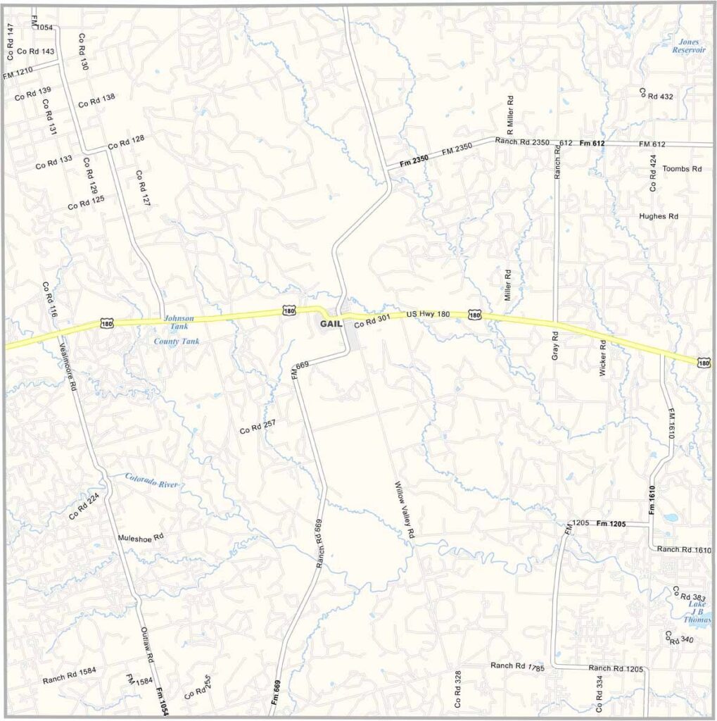
Borden County, Texas

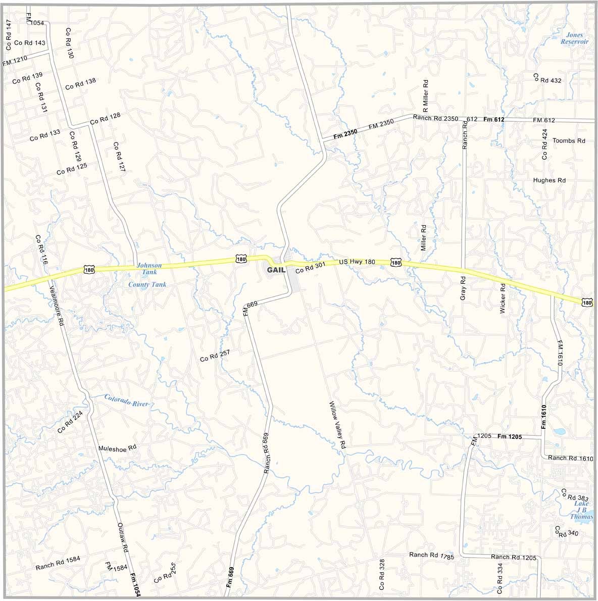
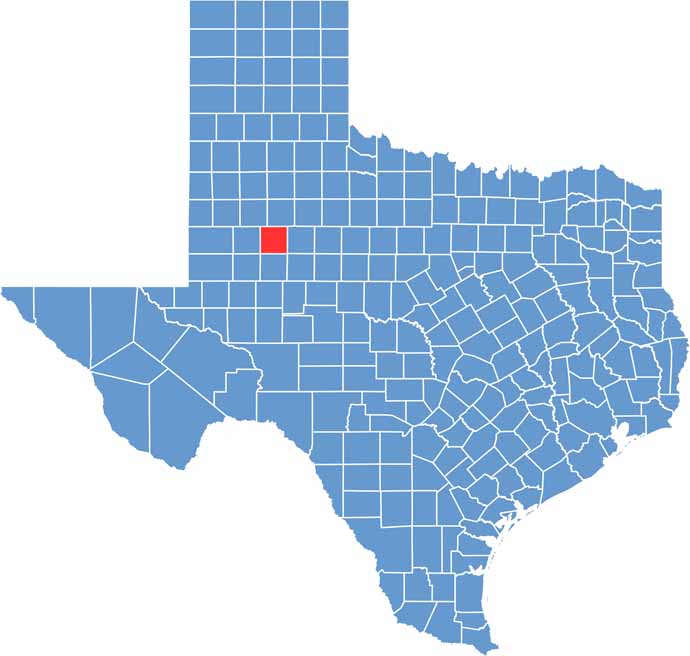
Borden County is located in northwest Texas, where vast open spaces stretch across the horizon. It is one of the least populated counties in the state, with Gail serving as its only incorporated community.

Oil production and ranching are central to the local economy, while the rugged landscape is covered with mesquite, prickly pear, and wide stretches of open land. The scenery may be sparse, but its quiet beauty and endless views give the county a distinctive charm.

Mushaway Peak is the highest point in the county and offers expansive views of the surrounding countryside. Rainfall is limited, but when moisture arrives, colorful wildflowers can brighten the landscape.
CategoryDetails
County NameBorden County
County SeatGail
PopulationApproximately 700
Cities, Towns, and CommunitiesGail, Mesquite
Interstates and HighwaysU.S. Highway 180, State Highway 350
FIPS Code48-033
Total Area (Land and Water)906 square miles (897 sq mi land, 9 sq mi water)
Adjacent Counties (and Direction)Garza County (North), Scurry County (East), Mitchell County (Southeast), Howard County (South), Martin County (Southwest), Dawson County (West), Lynn County (Northwest)
Time ZoneCentral Time Zone (CST)
StateTexas
Coordinates32°44’N, 101°27’W
EtymologyNamed after Gail Borden, a land surveyor, newspaper publisher, and inventor
Major LandmarksLake J. B. Thomas, Borden County Courthouse
Scroll to Top