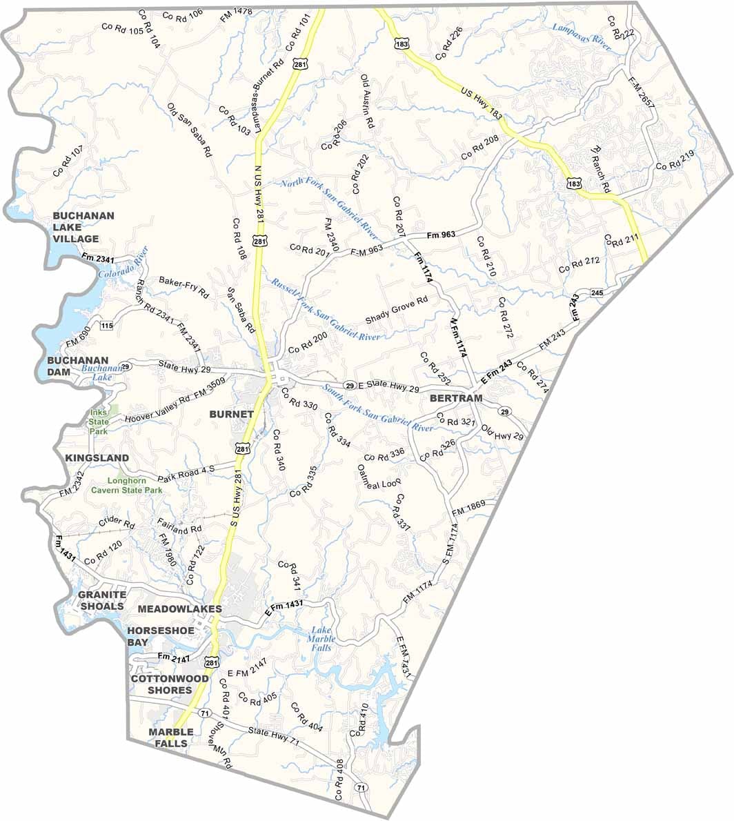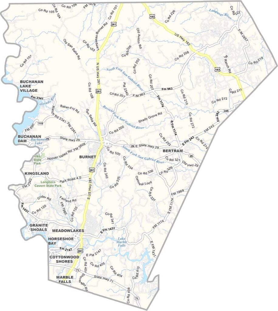
Burnet County, Texas

Burnet County is part of Texas’s scenic Highland Lakes region, and its collection of beautiful lakes is a major part of its appeal. Located in the Hill Country about an hour northwest of Austin, the county combines rolling landscapes, outdoor recreation, and charming communities.

Marble Falls, the county’s largest town, is a popular destination for weekend getaways, especially when the spring bluebonnets cover the countryside in vibrant color. Visitors can explore Longhorn Cavern State Park or learn about local history at the historic Fort Croghan.

Summers can be hot, but the area’s lakes provide plenty of opportunities for swimming, boating, and fishing. Burnet County has a welcoming mix of longtime residents and newcomers, giving its communities a blend of tradition and fresh energy.
CategoryDetails
County NameBurnet County
County SeatBurnet
PopulationApproximately 52,000
Cities, Towns, and CommunitiesBurnet, Marble Falls, Bertram, Granite Shoals, Horseshoe Bay, Meadowlakes
Interstates and HighwaysU.S. Highway 281, State Highway 29, State Highway 71
FIPS Code48-053
Total Area (Land and Water)1,021 square miles (995 sq mi land, 26 sq mi water)
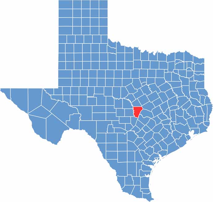
Adjacent Counties (and Direction)Lampasas County (North), Bell County (Northeast), Williamson County (East), Travis County (Southeast), Blanco County (South), Llano County (West), San Saba County (Northwest)
Time ZoneCentral Time Zone (CST)
StateTexas
Coordinates30°46’N, 98°11’W
EtymologyNamed after David Gouverneur Burnet, the first (provisional) President of the Republic of Texas
Major LandmarksInks Lake State Park, Longhorn Cavern State Park, Lake Buchanan, Vanishing Texas River Cruise
Scroll to Top