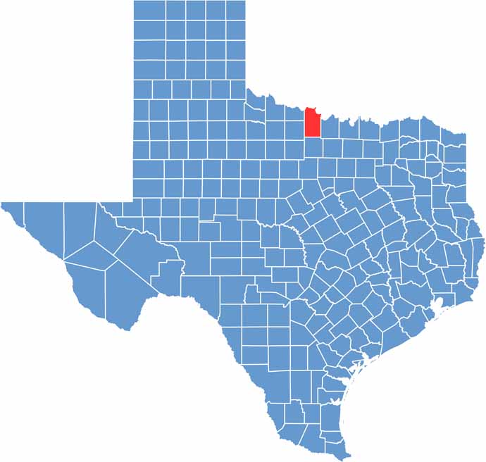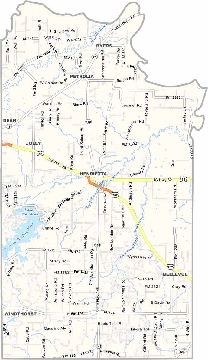
Clay County is located in North Texas along the Red River and the Oklahoma border, where wide-open prairies meet rolling countryside. Agriculture and ranching have deep roots here, with local farms and ranches producing cattle, wheat, and hay. The area continues to embrace its strong cowboy heritage.
Henrietta, the county seat, has the feel of a classic Old West town, with its historic courthouse square serving as a gathering place for the community. Ranching and rodeos remain important parts of local culture, keeping the county’s Western traditions alive.
Lake Arrowhead provides opportunities for fishing, boating, and other outdoor activities. Beyond the lake, the landscape features rolling hills, oak woodlands, and expansive prairies. With its rugged scenery and enduring cowboy spirit, Clay County offers visitors an authentic taste of Old West Texas.