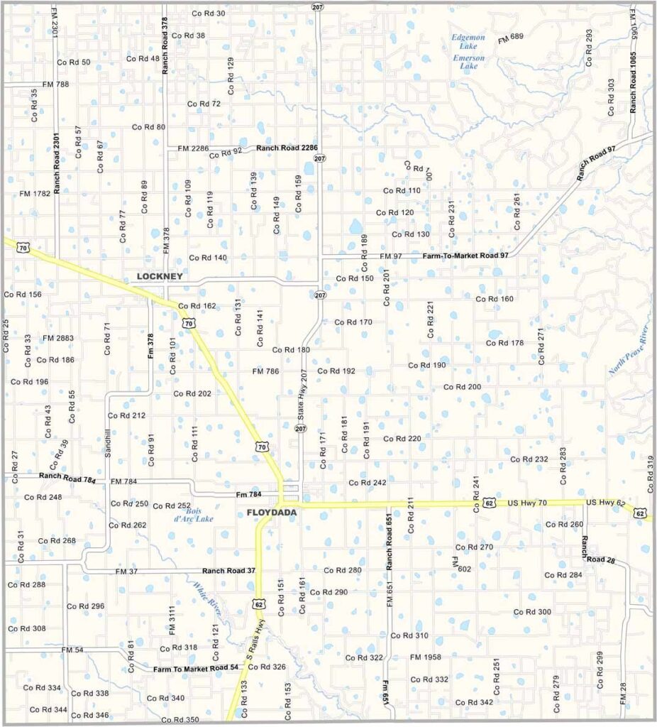
Floyd County, Texas

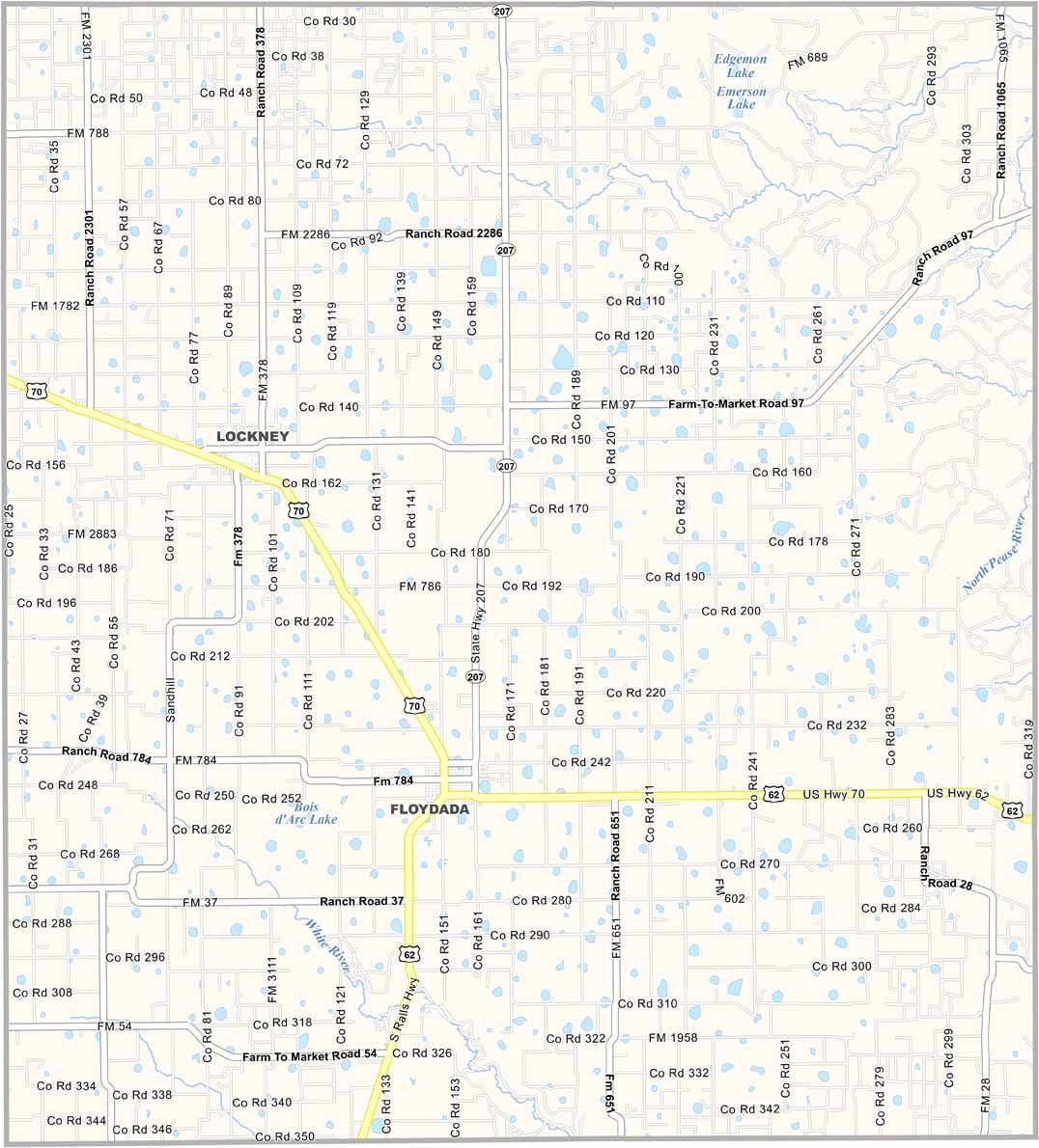
Floyd County lies across the wide-open plains of the Texas Panhandle, where the landscape is remarkably flat but full of its own quiet beauty. Floydada, the county seat, proudly carries the nickname “Pumpkin Capital of Texas.” Believe it or not, pumpkins are a big part of the local harvest.

Along the eastern edge of the county, the Caprock Escarpment creates a striking change in the landscape. Blanco Canyon adds even more character, cutting through the plains with its rugged cliffs and natural scenery.

Agriculture is central to life here, especially cotton farming. When harvest season arrives, fields can stretch into the distance covered in rows of bright white cotton. The county takes its name from Dolphin Ward Floyd, an early settler in the area.
CategoryDetails
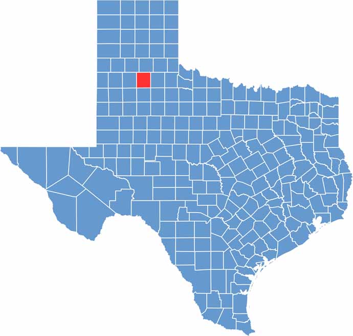
County NameFloyd County
County SeatFloydada
PopulationApproximately 5,500
Cities, Towns, and CommunitiesFloydada, Lockney
Interstates and HighwaysU.S. Highway 62, State Highway 70
FIPS Code48-153
Total Area (Land and Water)993 square miles (992 sq mi land, 1 sq mi water)
Adjacent Counties (and Direction)Briscoe County (North), Motley County (East), Dickens County (Southeast), Crosby County (South), Lubbock County (Southwest), Hale County (West), Swisher County (Northwest)
Time ZoneCentral Time Zone (CST)
StateTexas
Coordinates34°00’N, 101°20’W
EtymologyNamed after Dolphin Ward Floyd, a Texan soldier killed at the Battle of San Jacinto
Major LandmarksCaprock Canyons State Park, Pumpkin Capital of Texas, Floyd County Historical Museum
Scroll to Top