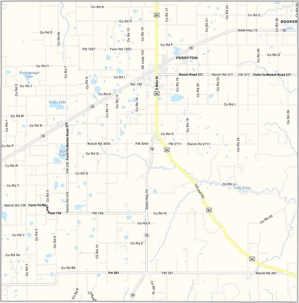
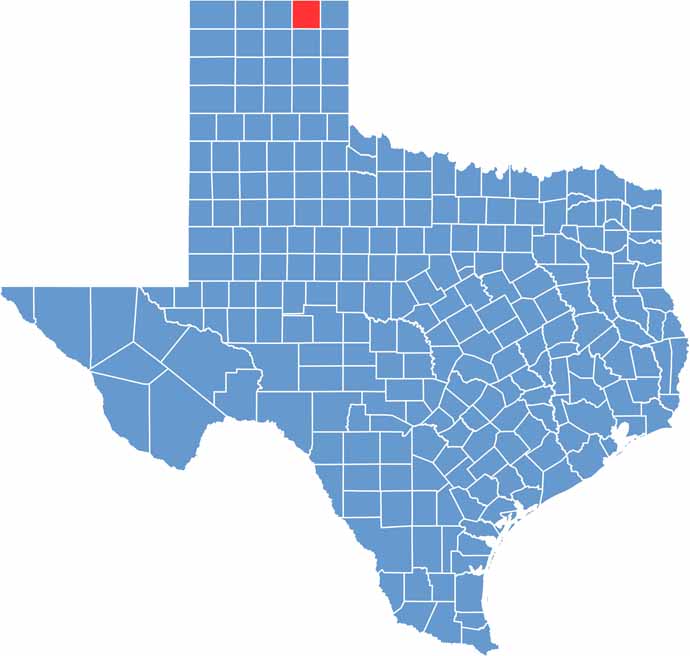
Ochiltree County Map Download Texas – Outline Map and Blank Map

Ochiltree County Map Download Texas – Outline Map and Blank Map

Ochiltree County, Texas

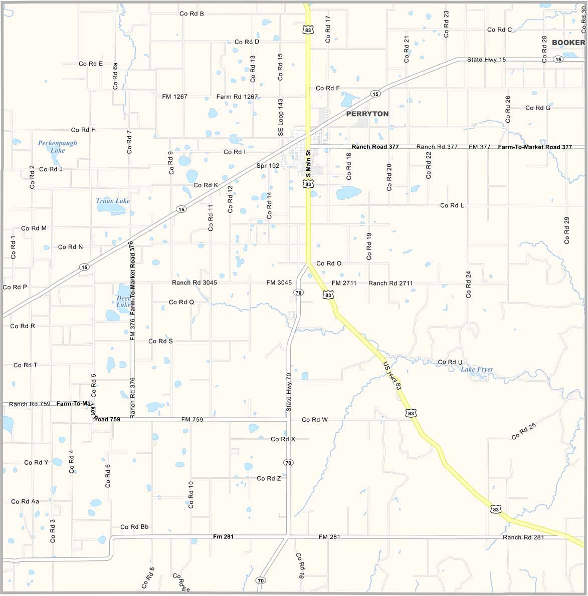
Ochiltree County sits in the far northern Texas Panhandle, right along the Oklahoma border. Perryton serves as the county seat and is at the center of the region’s oil and gas industry.

But energy isn’t the whole story here. Agriculture remains a major part of life, with wheat fields stretching across the wide-open plains. The county may be small, but its communities are close-knit, and the people have a practical, easygoing attitude.

There’s still a strong frontier spirit in Ochiltree County. Wide-open landscapes, hardworking residents, and a slower pace of life give the area its distinctive character. If you enjoy open skies and genuine small-town hospitality, this corner of the Panhandle is worth exploring.
CategoryDetails
County NameOchiltree County
County SeatPerryton
PopulationApproximately 10,000
Cities, Towns, and CommunitiesPerryton, Booker, Follett, and other small communities
Interstates and HighwaysU.S. Highway 83, U.S. Highway 287, State Highway 70
FIPS Code48-357
Total Area (Land and Water)1,090 square miles (1,086 sq mi land, 4 sq mi water)
Adjacent Counties (and Direction)Texas County, Oklahoma (North), Beaver County, Oklahoma (Northeast), Lipscomb County (East), Roberts County (South), Hansford County (West), Hemphill County (Southeast)
Time ZoneCentral Time Zone (CST)
StateTexas
Coordinates36°21’N, 100°47’W
EtymologyNamed after William Beck Ochiltree, secretary of the treasury for the Republic of Texas
Major LandmarksPerryton Courthouse, local parks and historical sites
Scroll to Top