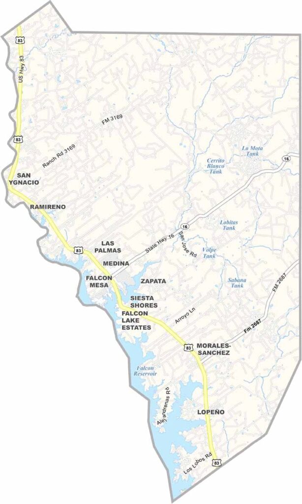
Zapata County, Texas

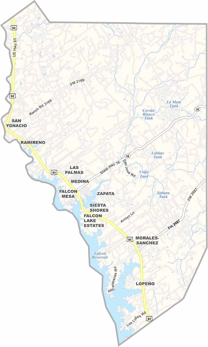
Zapata County sits in the far reaches of South Texas, where the Rio Grande marks its southern border with Mexico. The climate is dry and rugged, but the river brings life to the region, supporting wildlife and making the area a favorite destination for anglers. Fishing, especially for largemouth bass, is a major attraction and an important part of the local economy.

Though it covers only about 1,000 square miles, Zapata County has a distinct identity. The county seat, Zapata, was named after local rancher Antonio Zapata, a well-known figure whose legacy remains part of the community’s story.

History runs deep across this landscape. Fossils dating back millions of years and arrowheads left behind by ancient Native American peoples have both been discovered here, offering a glimpse into the region’s distant past.
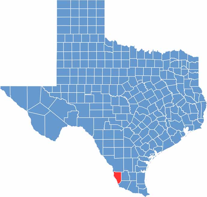
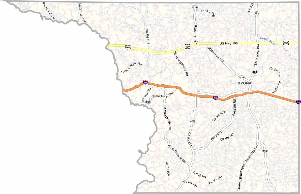
Zapata County location map showing the geographic position of Zapata County in Texas.
Category Details
County Name Zapata County
County Seat Zapata
Cities, Towns, and Communities Branson West, Kimberling City, Reeds Spring, Crane, Galena, Blue Eye, Cape Fair
Interstates and Highways MO 13, MO 76, MO 86
Etymology Named for William Stone, first elected judge of Taney County
FIPS Code 29-209
Total Area (Land and Water) 511 square miles (Land: 464 sq mi, Water: 47 sq mi)
Time Zone Central Time Zone (CT)
State Missouri
Coordinates 36.7658° N, 93.4313° W
Major Landmarks Table Rock Lake, Talking Rocks Cavern, Silver Dollar City, Shepherd of the Hills Fish Hatchery
Adjacent Counties (and Direction) Christian County (North), Taney County (East), Carroll County, Arkansas (South), Barry County (West), Lawrence County (Northwest)
Population Approximately 16,000
Scroll to Top