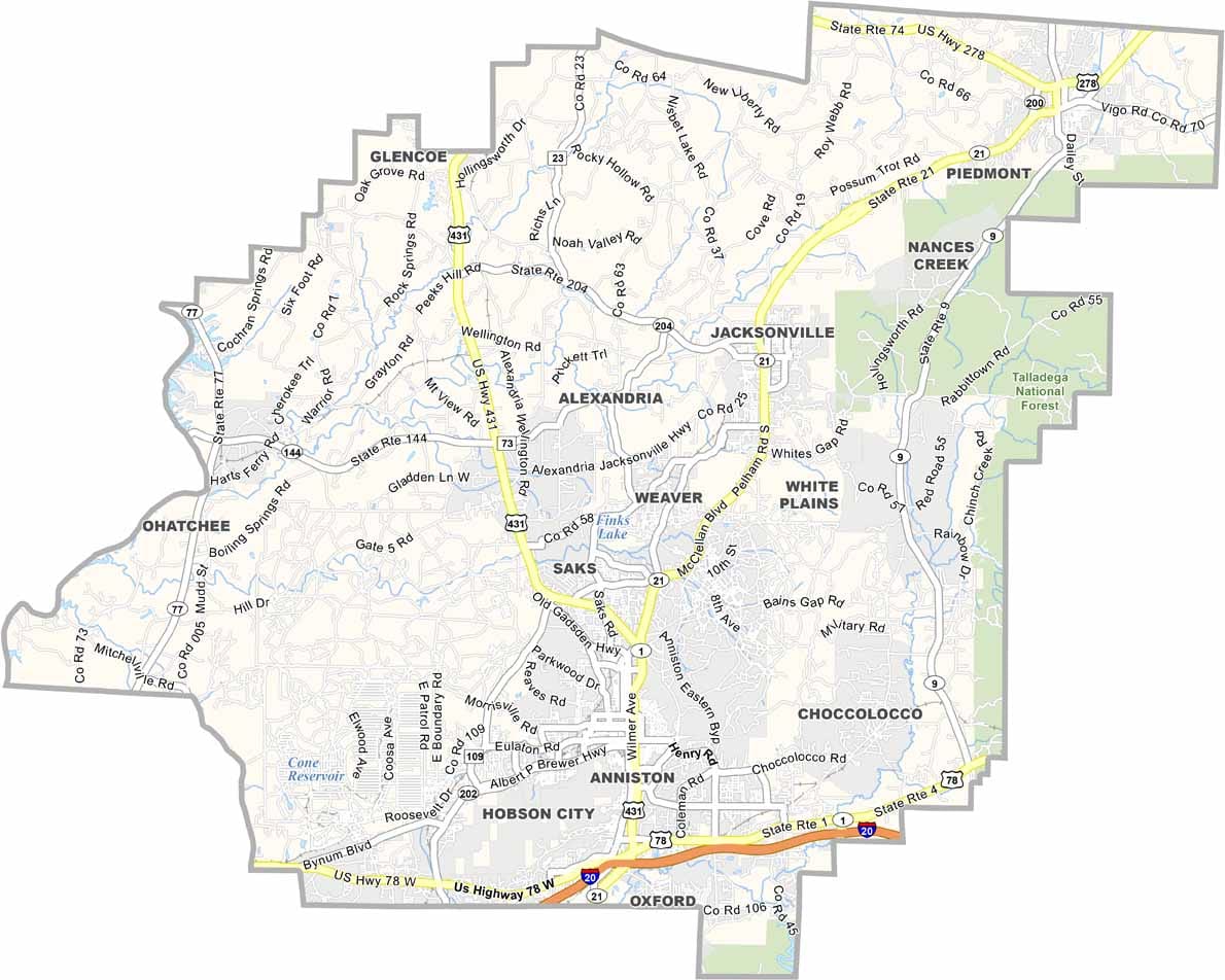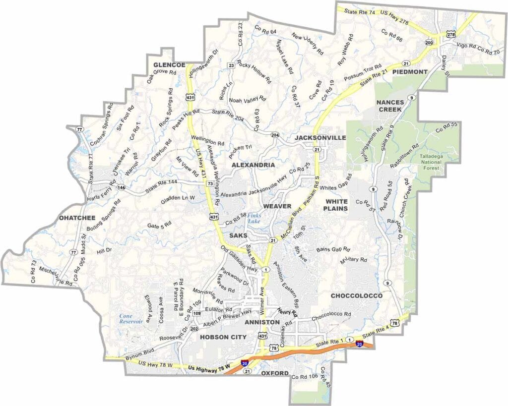
Calhoun County, Alabama

Calhoun County is located in northeastern Alabama and has a population of around 110,000 people. It sits along Interstate 20, roughly midway between Atlanta and Birmingham. The county was named after John C. Calhoun, the seventh Vice President of the United States.

The county seat is Anniston, once known as the “Model City” because of its thoughtful planning and infrastructure. Nearby Fort McClellan was once an important military site before closing in 1999; today, the area includes a nature center where soldiers once trained.

Much of the eastern part of the county is covered by the Talladega National Forest. The Chief Ladiga Trail now attracts cyclists from across the region. Anniston also holds a place in civil rights history, though not all of that past is positive.
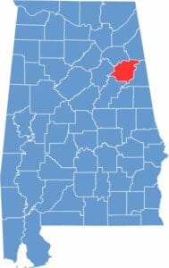

Location map of Calhoun County Alabama showing county position within the state
Category Details
County Name Calhoun County
County Seat Anniston
Cities, Towns, and Communities Anniston, Oxford, Jacksonville, Piedmont, Weaver, Saks, White Plains, Alexandria, Ohatchee, Choccolocco, Wellington
Interstates and Highways Interstate 20, U.S. Highway 78, U.S. Highway 431, State Route 21, State Route 9, State Route 144
Etymology Named after John C. Calhoun, the 7th Vice President of the United States
FIPS Code 01-015
Total Area (Land and Water) 612 square miles (Land: 608 sq mi, Water: 4 sq mi)
Time Zone Central Time Zone (CT)
State Alabama
Coordinates 33.7702° N, 85.8070° W
Major Landmarks Fort McClellan, Anniston Museum of Natural History, Cheaha State Park (partly in Calhoun County), Berman Museum of World History
Adjacent Counties (and Direction) Cherokee County (Northeast), Cleburne County (East), Talladega County (South), St. Clair County (West), Etowah County (Northwest)
Population Approximately 114,000
Scroll to Top