
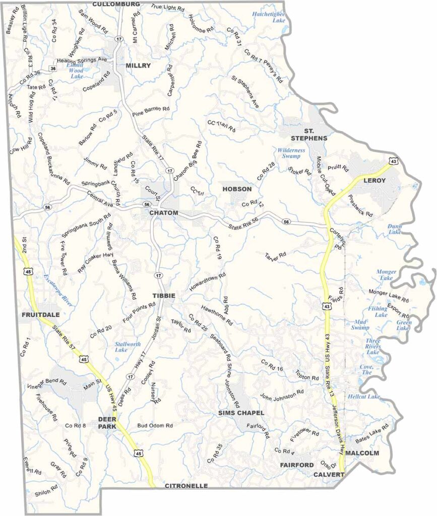
Washington County, Alabama

Washington County is located in southwest Alabama and is recognized as the state’s first county. Chatom serves as its county seat, and the population is around 16,000 residents.

The Tombigbee River forms the county’s eastern boundary, and the area is largely covered in dense forests. While there is no major national forest within the county itself, the landscape remains heavily wooded and rural.

U.S. Highway 43 runs through the county, making it an important route between Mobile and other parts of Alabama. Washington County is also home to St. Stephens, the site of Alabama’s first territorial capital, which is now preserved as a historical park.
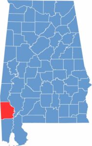

Washington County location map in Alabama.
Category Details
County Name Washington County
County Seat Chatom
Cities, Towns, and Communities Chatom, Millry, McIntosh, Leroy, Fruitdale, Tibbie, Vinegar Bend, Deer Park, St. Stephens
Interstates and Highways U.S. Highway 43, State Route 17, State Route 56, State Route 57
Etymology Named after George Washington, the first President of the United States
FIPS Code 01-129
Total Area (Land and Water) 1,089 square miles (Land: 1,080 sq mi, Water: 9 sq mi)
Time Zone Central Time Zone (CT)
State Alabama
Coordinates 31.4420° N, 88.2120° W
Major Landmarks Old St. Stephens Historical Park, Bladon Springs State Park, Washington County Museum, Chatom Courthouse Square
Adjacent Counties (and Direction) Choctaw County (North), Clarke County (East), Baldwin County (Southeast), Mobile County (South), Greene County, Mississippi (Southwest), Wayne County, Mississippi (Northwest)
Population Approximately 16,000
Scroll to Top





