
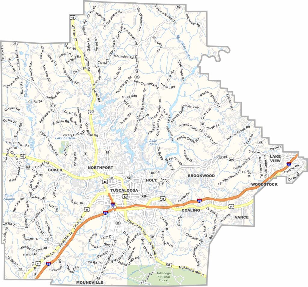
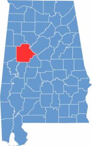
Tuscaloosa County covers west-central Alabama and has a population of roughly 220,000 residents. The city of Tuscaloosa serves as both the largest city and the county seat.
The University of Alabama plays a major role in the county’s culture, especially during football season when Bryant-Denny Stadium becomes a central gathering place. For outdoor recreation, Lake Lurleen State Park offers hiking trails and a swimming beach.
On campus, the Alabama Museum of Natural History showcases the state’s natural heritage. The local economy is also influenced by major industry, including a large Mercedes-Benz manufacturing plant in the area.
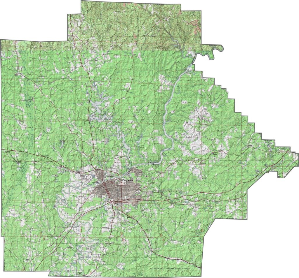
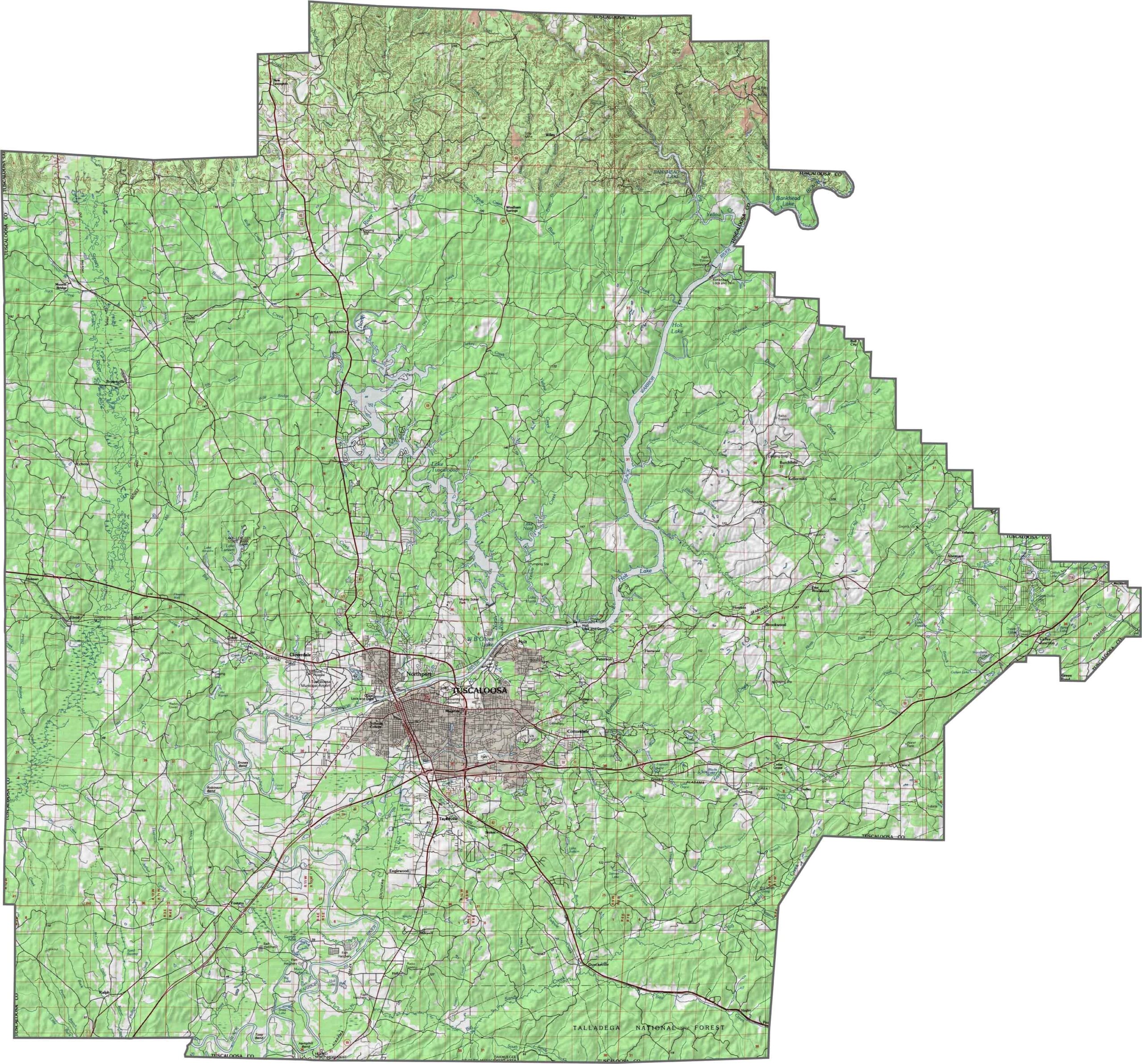
This topographic map highlights Tuscaloosa County’s hills, rivers, and changing elevation. The contour lines provide a detailed view of the county’s varied terrain and natural features.
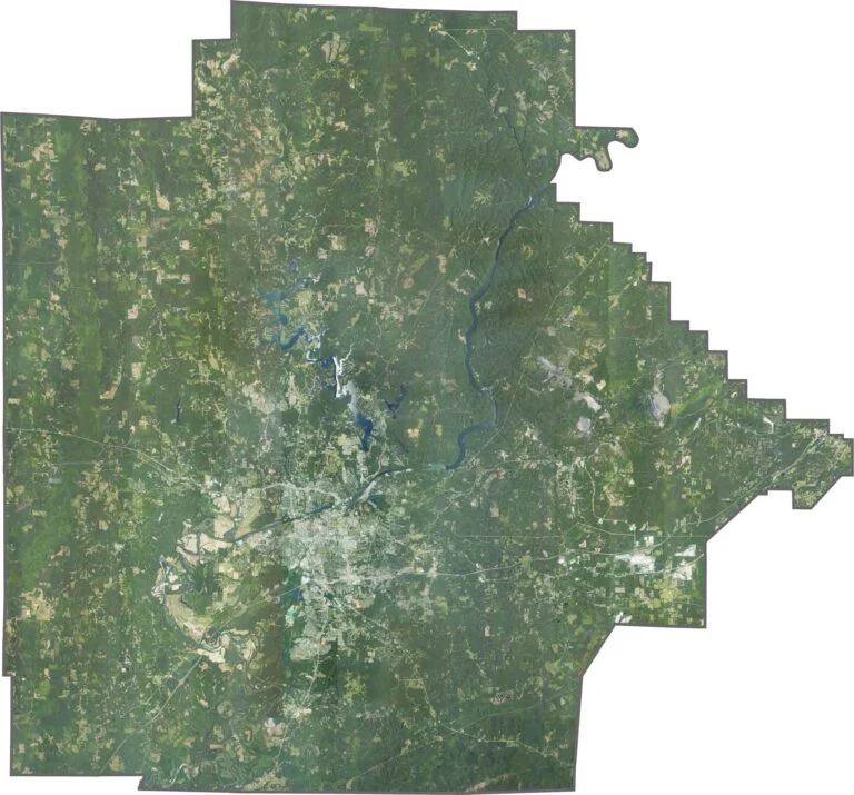
This satellite map shows Tuscaloosa County’s towns, landforms, waterways, and natural areas from above. The imagery provides a clear view of the county’s landscape and surrounding features.
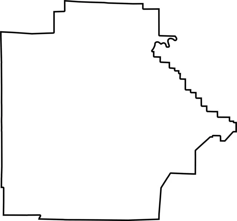
This blank map outlines Tuscaloosa County’s shape and boundaries. Its clean, simple design makes it useful for marking locations, planning, or studying the county’s overall layout.









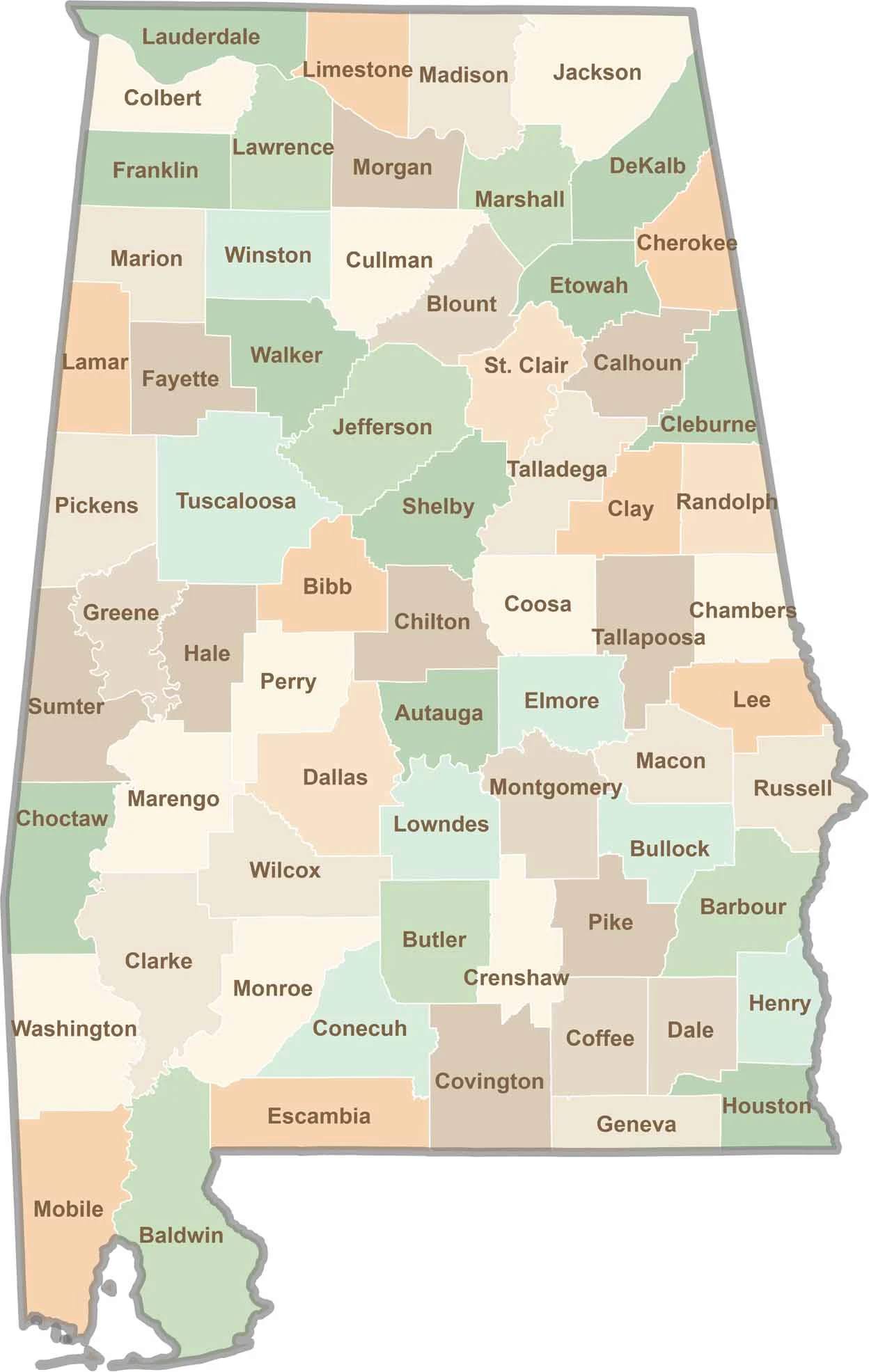
Discover Alabama county by county with our detailed Alabama county map. Easily explore county boundaries across the state—ideal for travel planning, local research, or satisfying your curiosity.