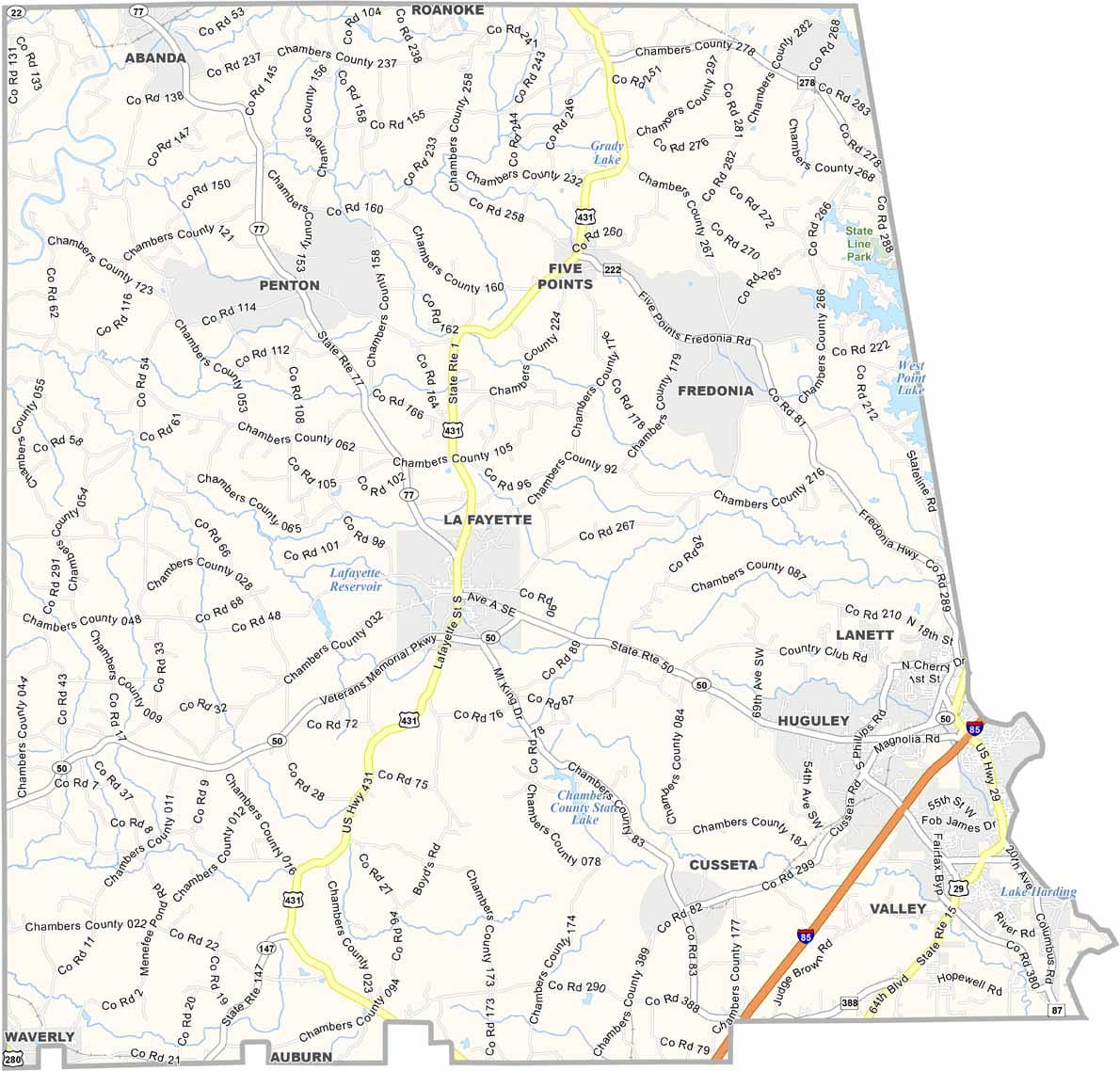
Chambers County, Alabama

Chambers County sits along the Georgia border in eastern Alabama, with a population of around 35,000. LaFayette serves as the county seat. Major routes like U.S. Highways 29 and 431, along with Interstate 85, make the area easily accessible.

West Point Lake, which lines the eastern edge of the county, is a favorite spot for fishing and boating. The Chattahoochee River also runs along this border, shaping the county’s landscape.

Life in Chambers County is quiet but steady. The Chambers County Museum, housed in a historic railway depot in LaFayette, highlights the area’s rich past. The county is also known as the birthplace of legendary boxing champion Joe Louis, who was born in LaFayette.
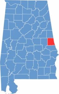

Location map of Chambers County Alabama showing county position within the state
Category Details
County Name Chambers County
County Seat LaFayette
Cities, Towns, and Communities LaFayette, Valley, Lanett, Five Points, Cusseta, Huguley, Fredonia
Interstates and Highways Interstate 85, U.S. Highway 29, U.S. Highway 431, State Route 50, State Route 77, State Route 147
Etymology Named after Henry H. Chambers, a U.S. Senator from Alabama
FIPS Code 01-017
Total Area (Land and Water) 603 square miles (Land: 597 sq mi, Water: 6 sq mi)
Time Zone Central Time Zone (CT)
State Alabama
Coordinates 32.9024° N, 85.3906° W
Major Landmarks Chattahoochee Valley Railroad Trail, Chambers County Courthouse, LaFayette Lanier Monument, Valley Sportsplex
Adjacent Counties (and Direction) Randolph County (North), Troup County, Georgia (East), Harris County, Georgia (Southeast), Lee County (South), Tallapoosa County (West)
Population Approximately 33,000
Scroll to Top