Cherokee County Map Download Alabama – Outline Map and Blank Map

Cherokee County Map Download Alabama – Outline Map and Blank Map

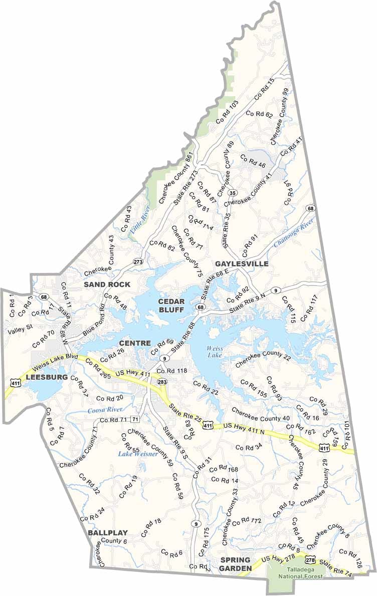
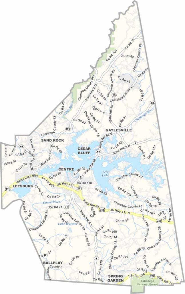
Detailed Cherokee County Alabama map showing roads, cities, and geographic features

Cherokee County, Alabama

Cherokee County is located in the far northeastern corner of Alabama, bordering Georgia to the east. The county seat is Centre, and the population is around 26,000.

Weiss Lake sits at the heart of the county and plays a major role in local life. Known as the “Crappie Capital of the World,” it draws anglers year-round, as fishing here is more than just a hobby—it’s a way of life.

The county takes its name from the Cherokee people who once inhabited the area. While there’s no interstate highway passing through, scenic mountain roads wind across the region, and U.S. Highway 411 provides the main route for getting around.
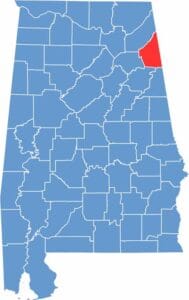

Location map of Cherokee County Alabama showing county position within the state
Category Details
County Name Cherokee County
County Seat Centre
Cities, Towns, and Communities Branson West, Kimberling City, Reeds Spring, Crane, Centre, Cedar Bluff, Leesburg, Sand Rock, Gaylesville, Broomtown, Spring GardenGalena, Blue Eye, Cape Fair
Interstates and Highways U.S. Highway 411, State Route 9, State Route 35, State Route 68, State Route 273
Etymology Named after the Cherokee Nation, who originally inhabited the area
FIPS Code 01-019
Total Area (Land and Water) 600 square miles (Land: 554 sq mi, Water: 46 sq mi)
Time Zone Central Time Zone (CT)
State Alabama
Coordinates 34.1622° N, 85.6067° W
Major Landmarks Weiss Lake, Little River Canyon National Preserve (partly in Cherokee County), Cherokee Rock Village, Cornwall Furnace Memorial Park
Adjacent Counties (and Direction) DeKalb County (North), Chattooga County, Georgia (Northeast), Floyd County, Georgia (East), Polk County, Georgia (Southeast), Cleburne County (South), Calhoun County (South), Etowah County (West)
Population Approximately 26,000
Scroll to Top