Choctaw County Map Download Alabama – Outline Map and Blank Map

Choctaw County Map Download Alabama – Outline Map and Blank Map

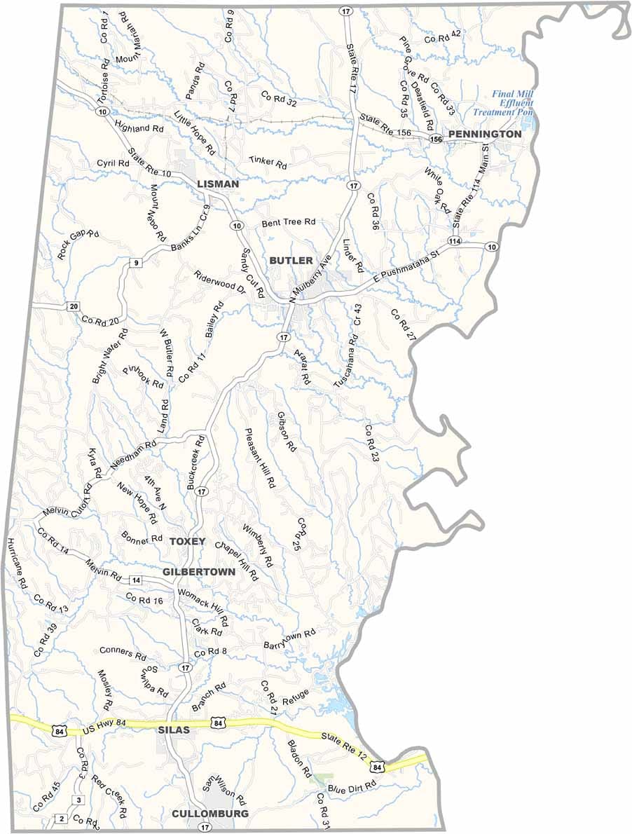
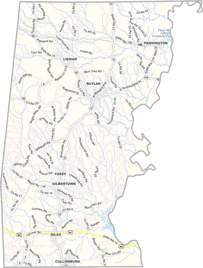
Choctaw County maps showing boundaries and locations in Alabama.

Choctaw County, Alabama

Choctaw County lies in southwestern Alabama along the Mississippi border, with Butler serving as the county seat. It’s a small, rural county with a population of around 13,000.

The Tombigbee River marks its eastern boundary, offering opportunities for fishing and outdoor recreation. The area has long been tied to the timber industry, with vast stretches of pine forests shaping both the landscape and local economy. Overall, it remains a quiet and deeply rural region.

Named after the Choctaw people, the county is crossed by U.S. Highway 84, the main route through the area. Hunting is a popular activity here, with abundant deer and turkey throughout the countryside.
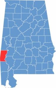

Choctaw County location map showing its position in Alabama.
Category Details
County Name Choctaw County
County Seat Butler
Cities, Towns, and Communities Butler, Lisman, Toxey, Pennington, Gilbertown, Silas, Needham, Jachin
Interstates and Highways U.S. Highway 84, U.S. Highway 80, State Route 17, State Route 10, State Route 114
Etymology Named after the Choctaw Native American tribe
FIPS Code 01-023
Total Area (Land and Water) 921 square miles (Land: 914 sq mi, Water: 7 sq mi)
Time Zone Central Time Zone (CT)
State Alabama
Coordinates 32.0224° N, 88.2446° W
Major Landmarks Bladon Springs State Park, Choctaw National Wildlife Refuge, Lusk Covered Bridge
Adjacent Counties (and Direction) Sumter County (North), Marengo County (Northeast), Clarke County (Southeast), Washington County (South), Wayne County, Mississippi (Southwest), Clarke County, Mississippi (West), Lauderdale County, Mississippi (Northwest)
Population Approximately 12,500
Scroll to Top