Colbert County Map Download Alabama – Outline Map and Blank Map

Colbert County Map Download Alabama – Outline Map and Blank Map

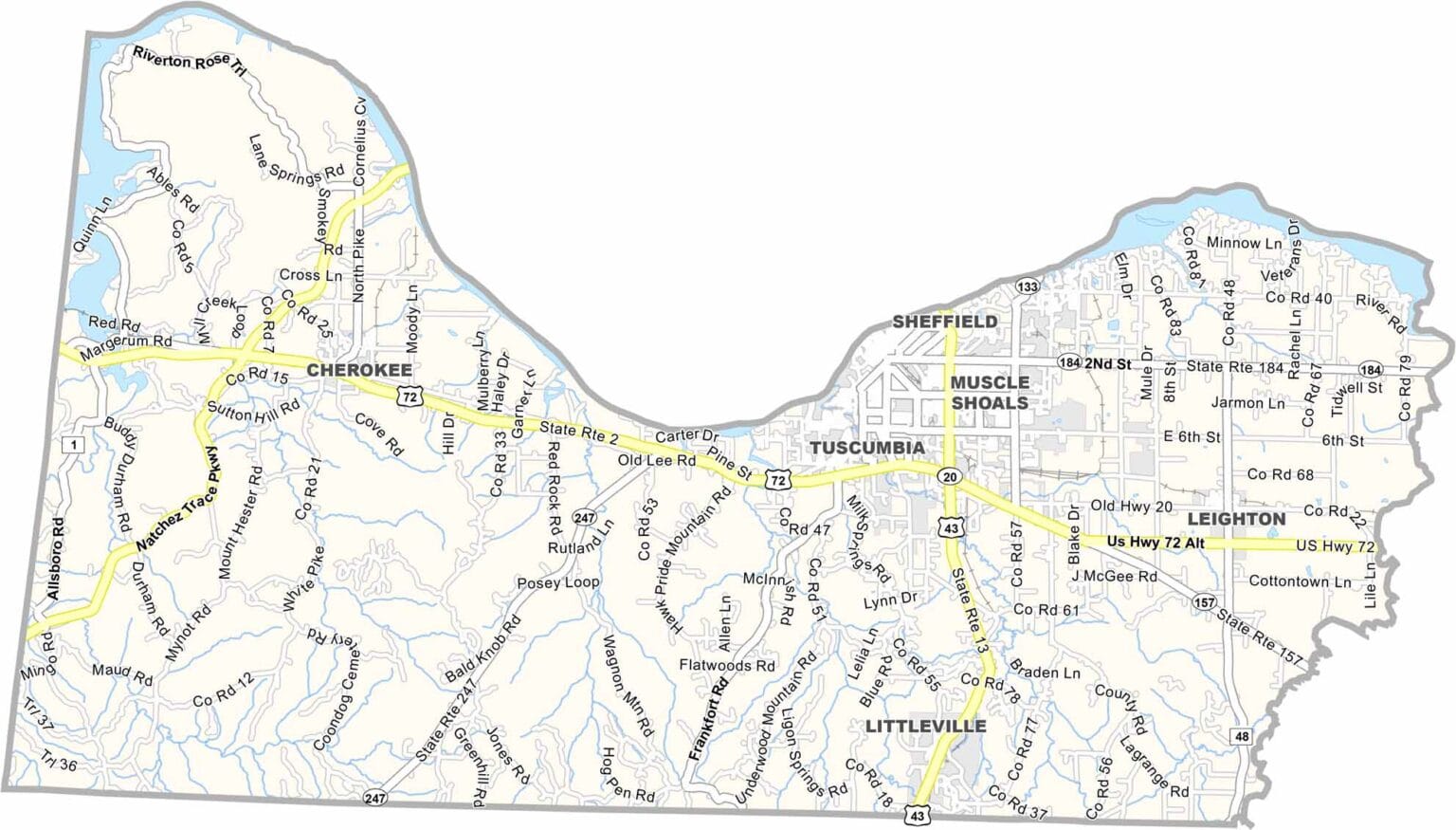
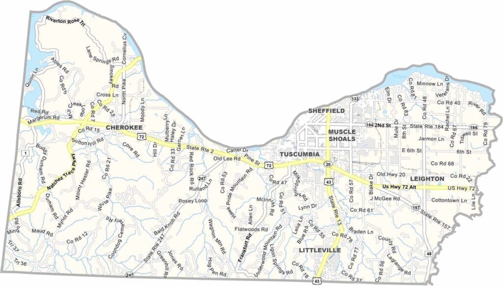
Colbert County map showing boundaries and locations in Alabama.

Colbert County, Alabama

Colbert County is located in northwestern Alabama along the Tennessee River, with Tuscumbia serving as the county seat. The county has a population of around 55,000 and sits at the end of the Natchez Trace Parkway, making it a scenic destination for road trips.

The area is famously connected to Helen Keller, who was born here, and is celebrated annually with a festival in her honor. Nearby Muscle Shoals, also within the county, is known worldwide for its historic recording studios where many legendary artists have recorded, earning the region the nickname “The Singing River” area.

The county is named after George and Levi Colbert, Chickasaw leaders who once lived in the region. U.S. Highway 72 runs through the area, connecting it to other parts of Alabama, while the Tennessee River provides excellent opportunities for fishing and recreation.
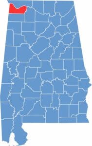

Colbert County location map showing its position in Alabama.
Category Details
County Name Colbert County
County Seat Tuscumbia
Cities, Towns, and Communities Muscle Shoals, Tuscumbia, Sheffield, Leighton, Cherokee, Littleville, Barton
Interstates and Highways U.S. Highway 72, U.S. Highway 43, State Route 20, State Route 157, State Route 247
Etymology Named after George and Levi Colbert, Chickasaw chiefs who lived in the area
FIPS Code 01-033
Total Area (Land and Water) 622 square miles (Land: 593 sq mi, Water: 29 sq mi)
Time Zone Central Time Zone (CT)
State Alabama
Coordinates 34.7118° N, 87.7159° W
Major Landmarks Muscle Shoals Sound Studio, Helen Keller Birthplace, Ivy Green, Wilson Dam, Natchez Trace Parkway
Adjacent Counties (and Direction) Lauderdale County (North), Lawrence County (Southeast), Franklin County (South), Tishomingo County, Mississippi (West)
Population Approximately 55,000
Scroll to Top