Lauderdale County Map Download Alabama – Outline Map and Blank Map

Lauderdale County Map Download Alabama – Outline Map and Blank Map

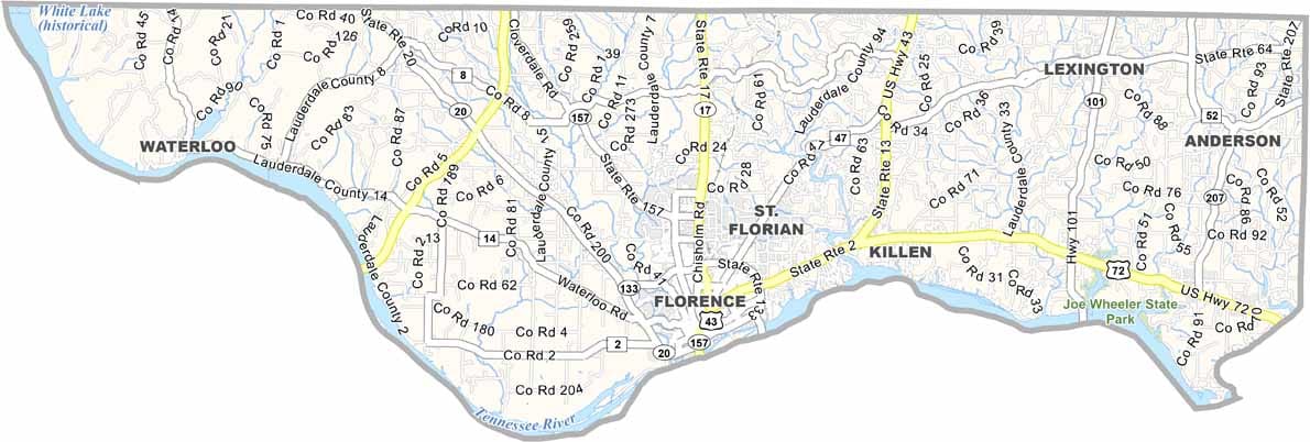
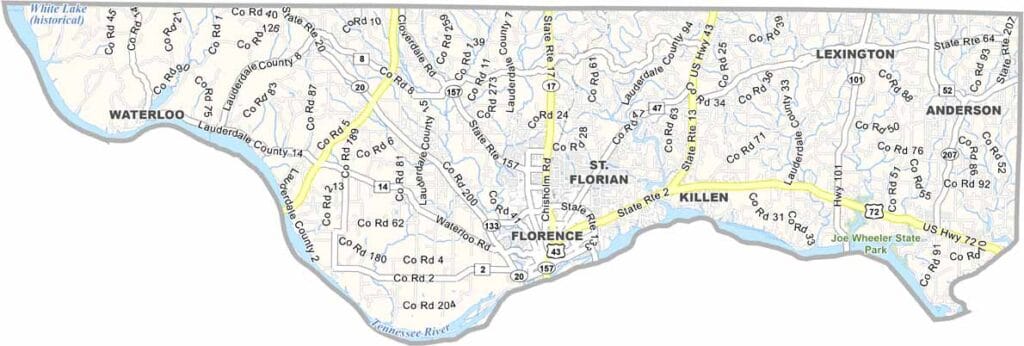
Lauderdale County maps showing boundaries and locations in Alabama.

Lauderdale County, Alabama

In the northwest corner of Alabama, Lauderdale County is anchored by Florence, its largest city and county seat. The area is notable as the birthplace of W. C. Handy, often called the “Father of the Blues.”

The Tennessee River shapes much of the county’s landscape, while the scenic Natchez Trace Parkway offers a route rich in natural beauty and history.

Lauderdale County also benefits from the presence of the University of North Alabama, which brings a lively, youthful atmosphere to the region. Meanwhile, Wilson Dam and its lock system stand out as an impressive feat of engineering.
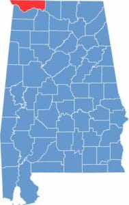

Lauderdale County location map showing its position in Alabama.
Category Details
County Name Lauderdale County
County Seat Florence
Cities, Towns, and Communities Florence, Muscle Shoals, Sheffield, Tuscumbia, Killen, Rogersville, Lexington, St. Florian, Waterloo
Interstates and Highways U.S. Highway 43, U.S. Highway 72, State Route 13, State Route 17, State Route 20, State Route 157
Etymology Named after James Lauderdale, a Tennessee militia officer who died in the Battle of New Orleans during the War of 1812
FIPS Code 01-077
Total Area (Land and Water) 721 square miles (Land: 668 sq mi, Water: 53 sq mi)
Time Zone Central Time Zone (CT)
State Alabama
Coordinates 34.8326° N, 87.6657° W
Major Landmarks University of North Alabama, Wilson Dam, W.C. Handy Birthplace, Florence Indian Mound and Museum, Natchez Trace Parkway
Adjacent Counties (and Direction) Wayne County, Tennessee (North), Lawrence County, Tennessee (North), Giles County, Tennessee (Northeast), Limestone County (East), Lawrence County (Southeast), Colbert County (South), Tishomingo County, Mississippi (West), Hardin County, Tennessee (Northwest)
Population Approximately 95,000
Scroll to Top