Talladega County Map Download Alabama – Outline Map and Blank Map

Talladega County Map Download Alabama – Outline Map and Blank Map

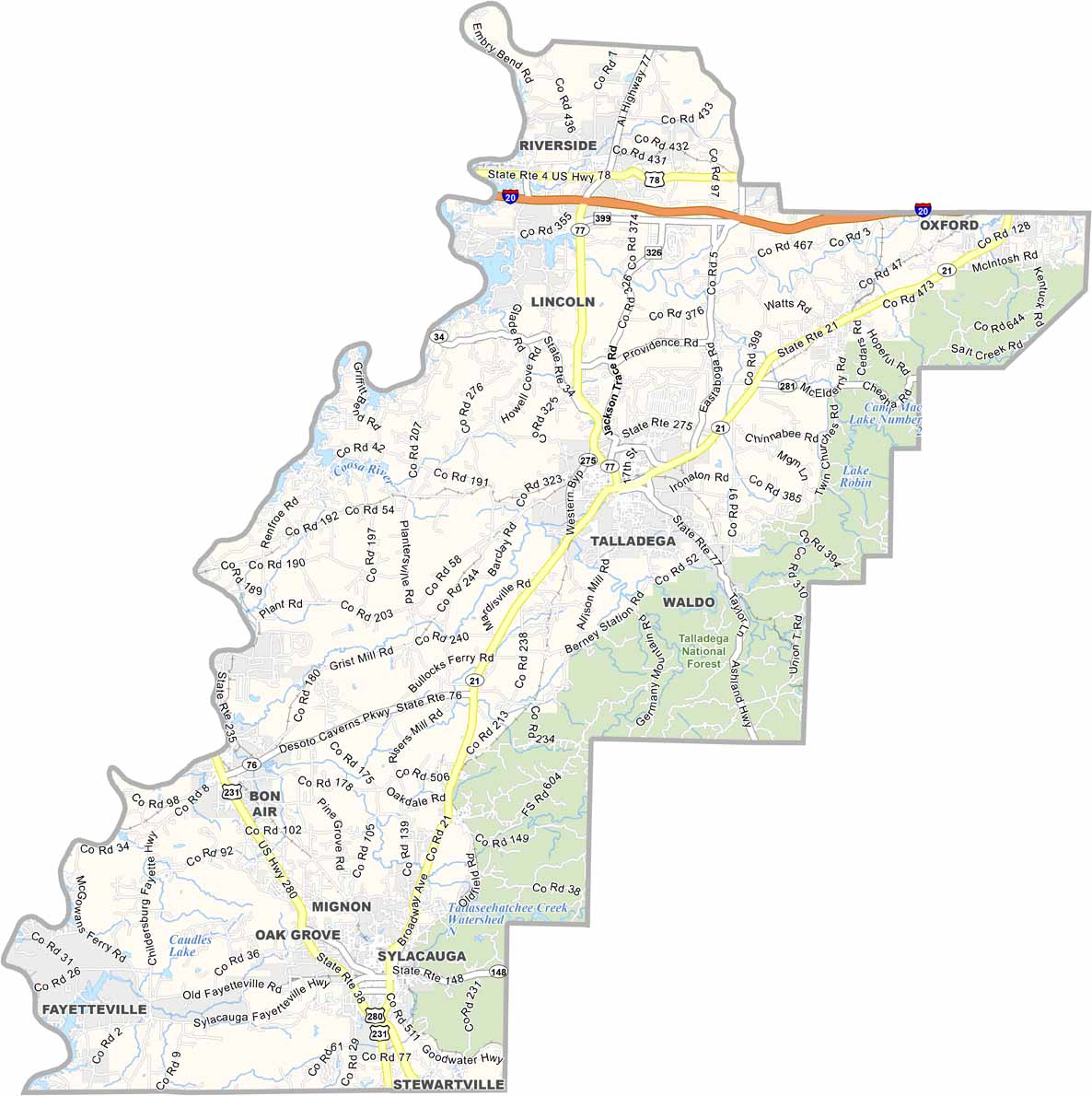
Talladega County maps showing boundaries and locations in Alabama.

Talladega County, Alabama

Talladega County is located in east-central Alabama, with Talladega serving as its county seat. It is best known for the Talladega Superspeedway, the longest NASCAR oval track and a major attraction in the area.

Beyond motorsports, the county also features natural landmarks such as the Talladega National Forest and Cheaha Mountain, the highest point in Alabama, both popular for hiking, camping, and scenic views.

With a population of around 80,000 spread across several small towns, the county is well connected by U.S. Highway 280 and Interstate 20. Its history is also reflected in institutions like the Alabama Institute for Deaf and Blind.
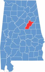

Talladega County location map showing its position in Alabama.
Category Details
County Name Talladega County
County Seat Talladega
Cities, Towns, and Communities Talladega, Sylacauga, Lincoln, Childersburg, Munford, Oxford (partly), Oak Grove, Riverside, Vincent (partly), Waldo, Winterboro, Mignon, Bon Air, Sycamore, Fayetteville, Renfroe
Interstates and Highways Interstate 20, U.S. Highway 78, U.S. Highway 231, State Route 21, State Route 34, State Route 77, State Route 148
Etymology Derived from the Muscogee (Creek) word “Tvlvteke,” meaning “border town”
FIPS Code 01-121
Total Area (Land and Water) 760 square miles (Land: 737 sq mi, Water: 23 sq mi)
Time Zone Central Time Zone (CT)
State Alabama
Coordinates 33.3785° N, 86.1575° W
Major Landmarks Talladega Superspeedway, Cheaha State Park, DeSoto Caverns, Alabama Institute for Deaf and Blind, Historic Ritz Theatre, Kymulga Grist Mill and Covered Bridge
Adjacent Counties (and Direction) Calhoun County (North), Cleburne County (Northeast), Clay County (East), Coosa County (South), Shelby County (Southwest), St. Clair County (Northwest)
Population Approximately 80,000
Scroll to Top