
Walker County Map Download Alabama – Outline Map and Blank Map

Walker County Map Download Alabama – Outline Map and Blank Map

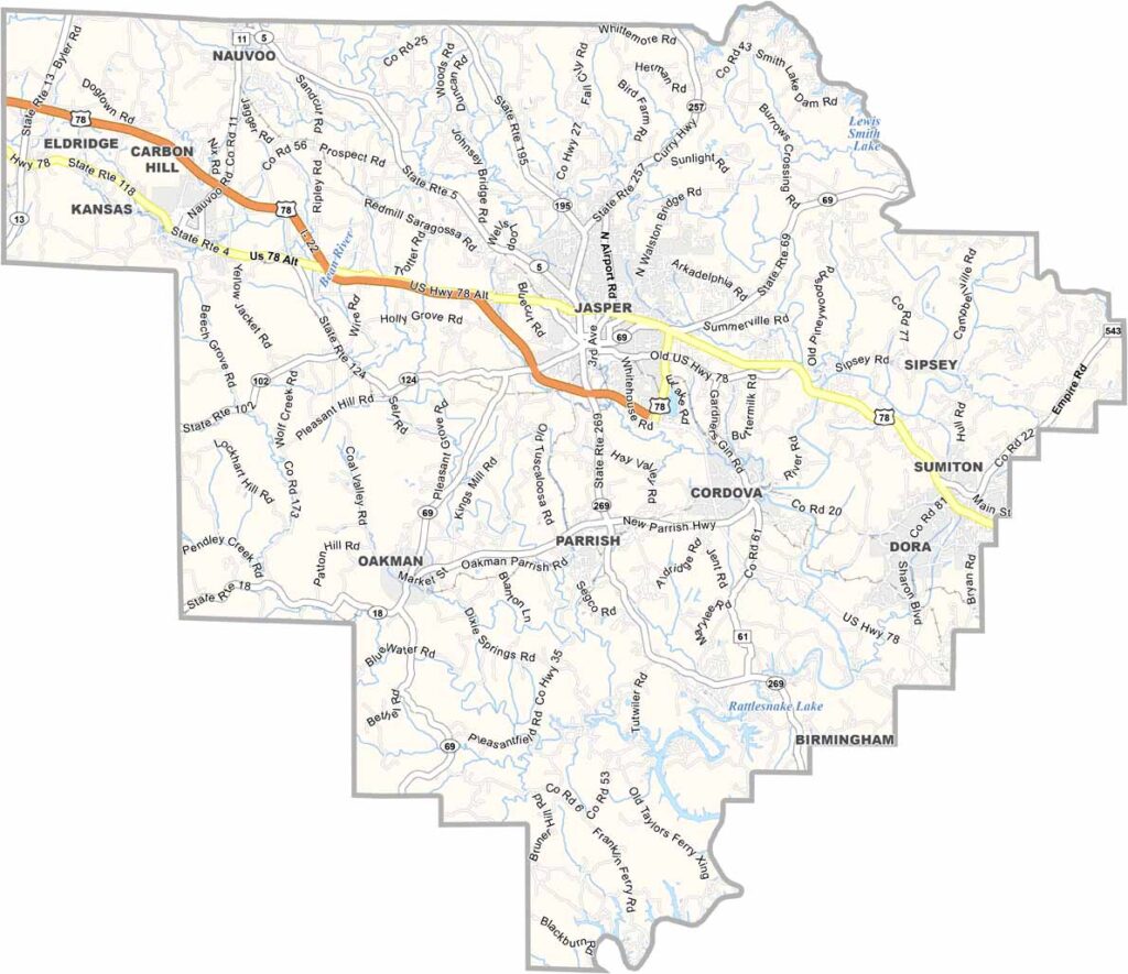
Walker County map showing towns, roads, and county boundaries in Alabama.

Walker County, Alabama

Walker County is located in north-central Alabama, with Jasper serving as its county seat. The county has a strong history rooted in coal mining, and several old ghost towns still remain as reminders of that era.

With a population of around 65,000, the county is connected by U.S. Highway 78 and Interstate 22. Lewis Smith Lake forms part of its eastern border and is a popular destination for fishing and boating.

Walker County is also home to the Bankhead House & Heritage Center, which highlights local history, as well as much of the William B. Bankhead National Forest, which covers a large portion of the area and offers outdoor recreation opportunities.
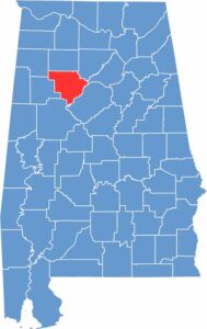

Walker County location map in Alabama.
Category Details
County Name Walker County
County Seat Jasper
Cities, Towns, and Communities Jasper, Carbon Hill, Cordova, Dora, Eldridge, Kansas, Nauvoo, Oakman, Parrish, Sipsey, Sumiton, Townley
Interstates and Highways Interstate 22, U.S. Highway 78, U.S. Highway 118, State Route 5, State Route 69, State Route 195
Etymology Named after John Williams Walker, a U.S. Senator from Alabama
FIPS Code 01-127
Total Area (Land and Water) 805 square miles (Land: 793 sq mi, Water: 12 sq mi)
Time Zone Central Time Zone (CT)
State Alabama
Coordinates 33.8025° N, 87.2953° W
Major Landmarks Lewis-Smith Lake, Bankhead House and Heritage Center, William B. Bankhead National Forest, Walker County Public Fishing Lake, Jasper Mall
Adjacent Counties (and Direction) Winston County (North), Cullman County (Northeast), Blount County (East), Jefferson County (Southeast), Tuscaloosa County (Southwest), Fayette County (West), Marion County (Northwest)
Population Approximately 65,000
Scroll to Top





