
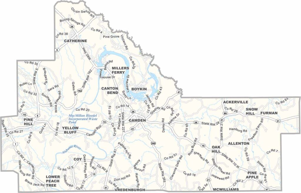
Wilcox County, Alabama

Wilcox County is located in Alabama’s Black Belt region and is known for its rich history and natural scenery. Camden serves as the county seat, with a total population of around 10,000 residents.

The Alabama River flows through the county, including areas around Roland Cooper State Park, which offers camping facilities and access to the William “Bill” Dannelly Reservoir, also known locally as Claiborne Lake.

State highways 10 and 41 pass through the county, linking it to Selma and surrounding areas. Visitors to Gee’s Bend are encouraged to bring a camera, as the community is world-famous for its remarkable quilt-making tradition.
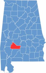

Wilcox Location Map Alabama
Category Details
County Name Wilcox County
County Seat Camden
Cities, Towns, and Communities Camden, Pine Hill, Oak Hill, Pine Apple, Boykin, Catherine, Coy, Furman, Yellow Bluff
Interstates and Highways State Route 10, State Route 21, State Route 28, State Route 41
Etymology Named after Joseph M. Wilcox, a U.S. Army lieutenant who was killed in Alabama during the Creek War
FIPS Code 01-131
Total Area (Land and Water) 907 square miles (Land: 888 sq mi, Water: 19 sq mi)
Time Zone Central Time Zone (CT)
State Alabama
Coordinates 31.9915° N, 87.3031° W
Major Landmarks Roland Cooper State Park, Gee’s Bend, Wilcox Female Institute, Black Belt Treasures Cultural Arts Center, Liddell Archeological Site
Adjacent Counties (and Direction) Dallas County (Northeast), Lowndes County (Northeast), Butler County (Southeast), Monroe County (South), Clarke County (Southwest), Marengo County (Northwest)
Population Approximately 10,000
Scroll to Top





