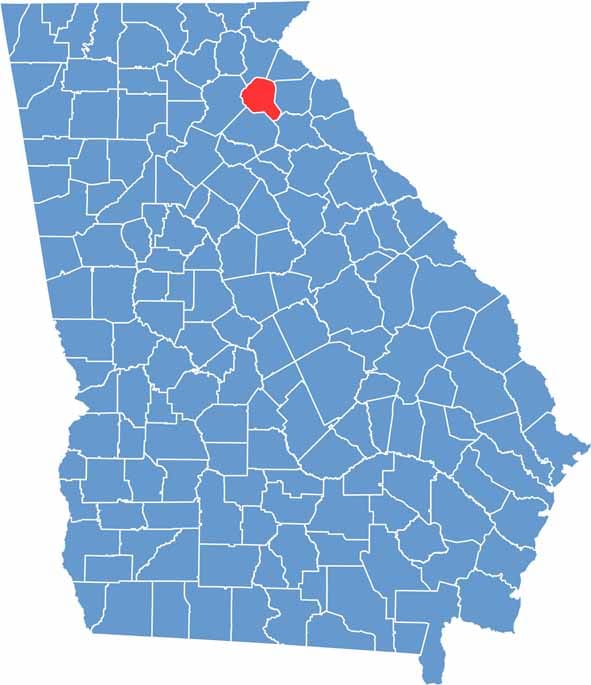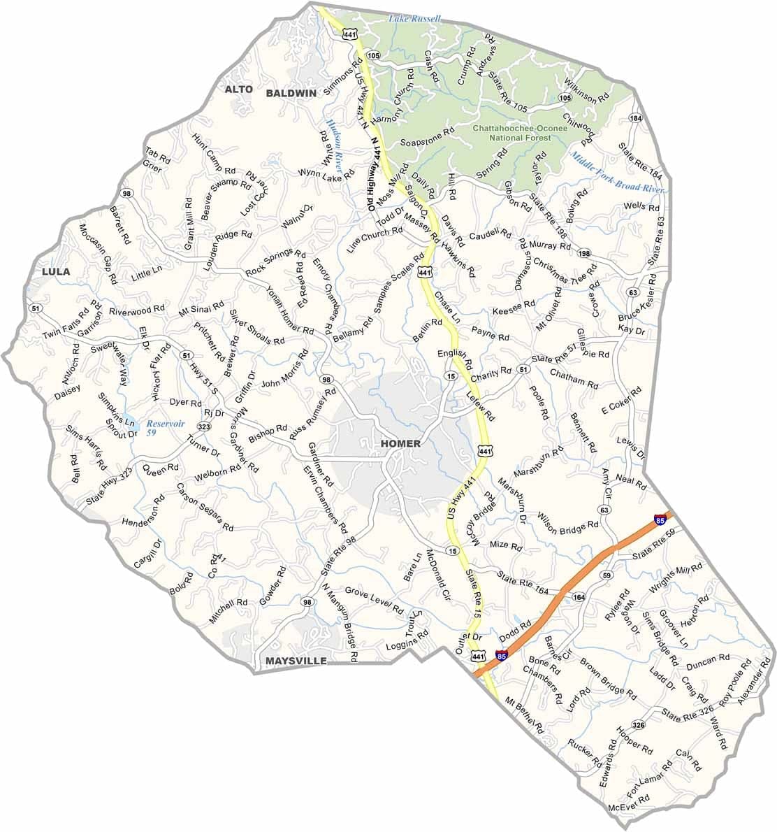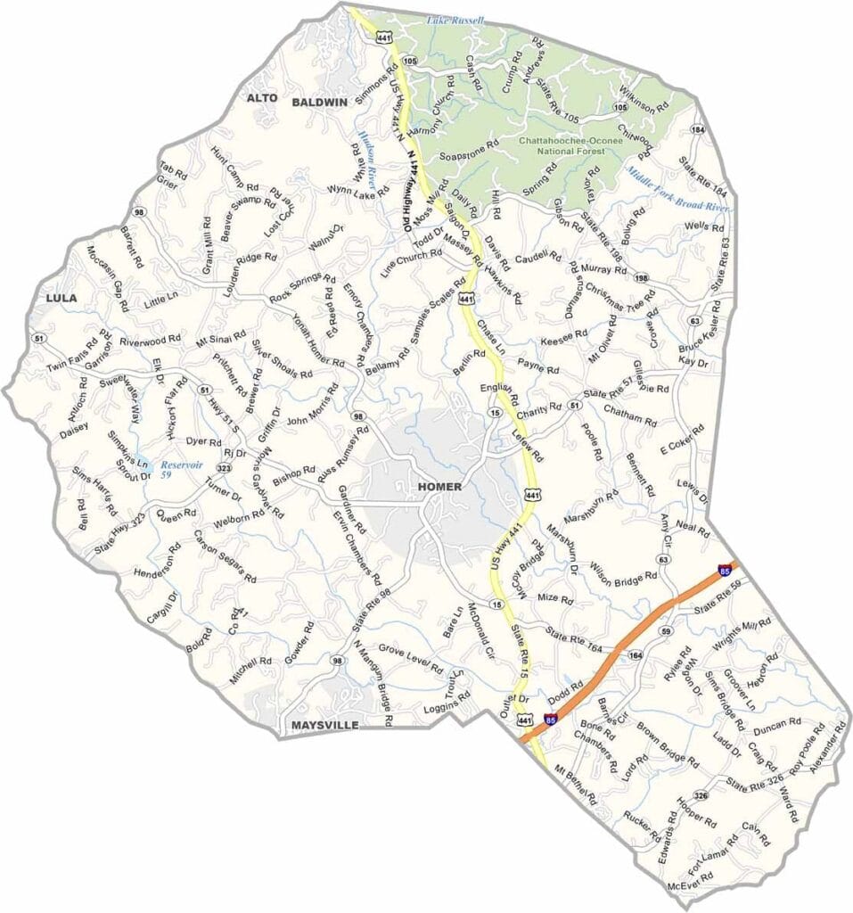
Nestled in northeastern Georgia, not far from the South Carolina border, Banks County is easy to overlook on a map but hard to forget once you visit. The county seat, Homer, is a small town that reflects the area's rural charm and close-knit community spirit.
Banks County was named after Dr. Richard Banks, a physician known for treating Native Americans during smallpox outbreaks. While agriculture once drove the local economy, today the county is best known for commercial centers such as Banks Crossing, a popular shopping destination that attracts visitors from across the region.
The North Oconee River flows through the county, offering opportunities for fishing and outdoor recreation. Rolling hills shaped by the Appalachian foothills give the landscape a scenic character, blending forests, farmland, and open countryside.