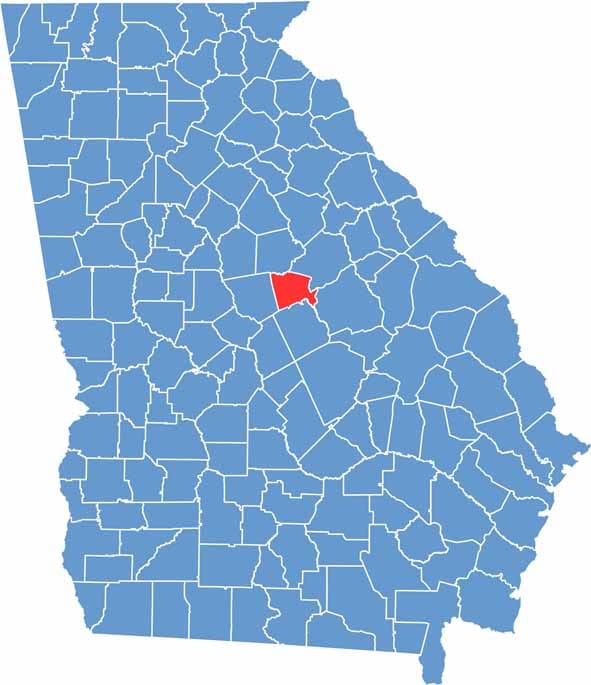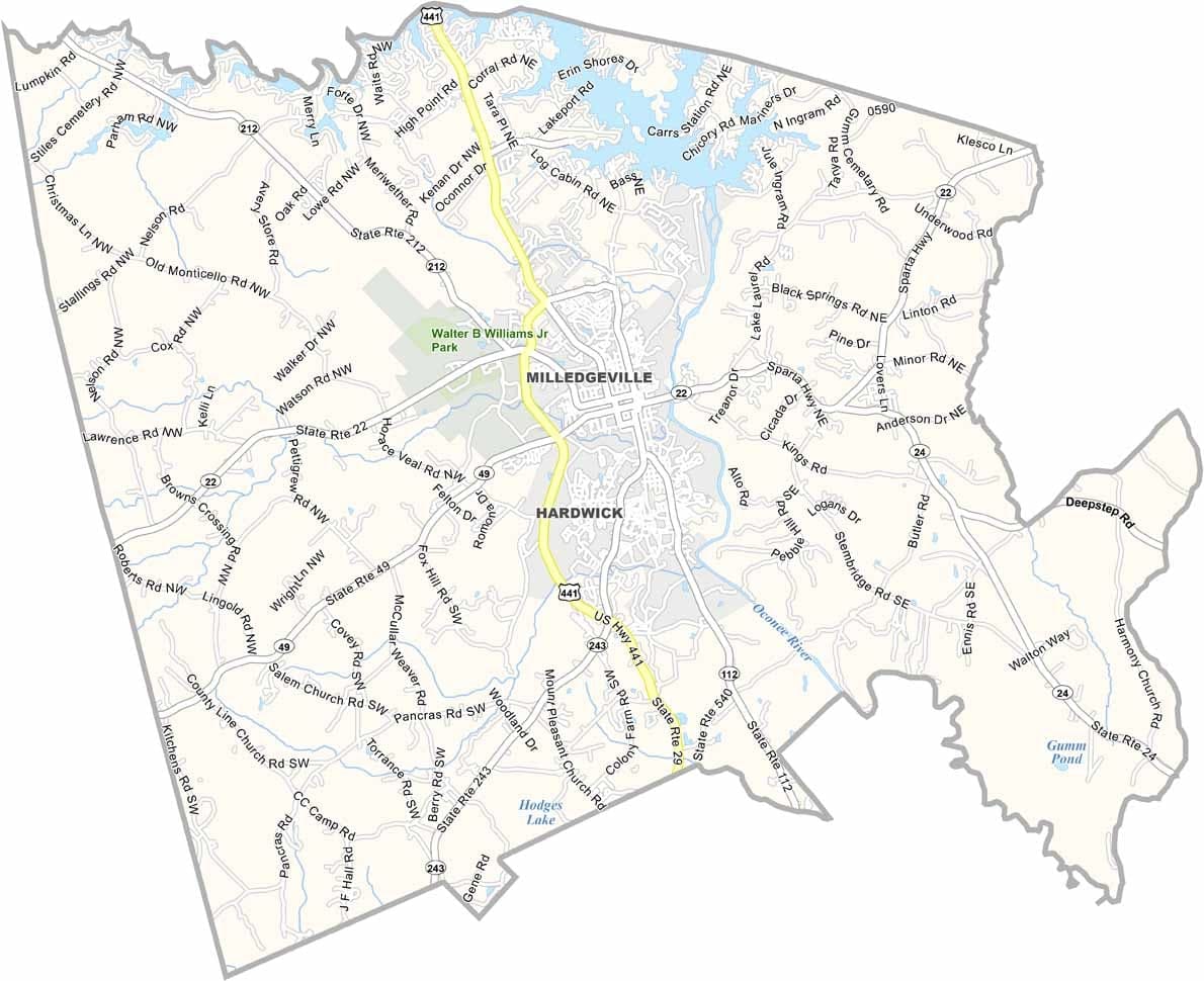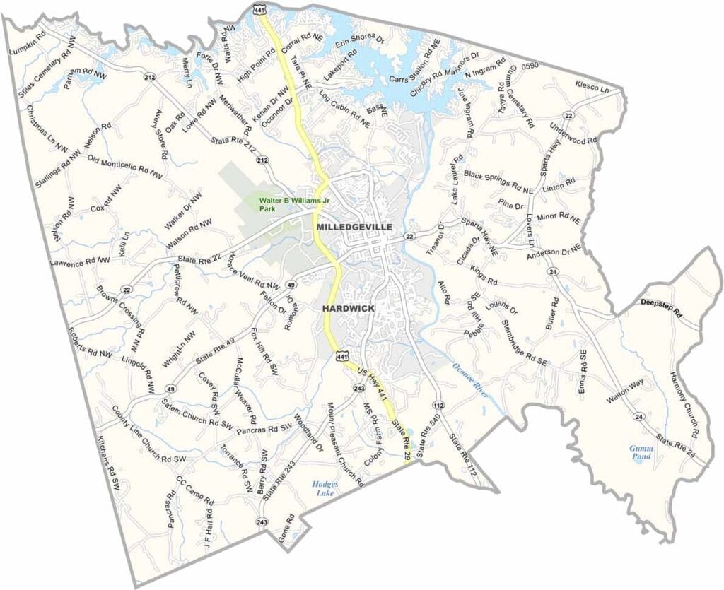
Baldwin County lies in central Georgia, roughly 100 miles southeast of Atlanta. Its county seat, Milledgeville, once held the distinction of being Georgia’s capital, and the historic old statehouse still stands as a reminder of that era.
Named after Abraham Baldwin, one of Georgia’s founding fathers, the county blends rich history with modern attractions. Lake Sinclair is a favorite destination for boating, fishing, and outdoor recreation, while Georgia College brings energy and a youthful atmosphere to the community.
Historic antebellum homes can still be found along many streets, offering glimpses into the county’s past. Hot, humid summers and generally mild winters shape the local climate. Today, Baldwin County is a place where historic charm and contemporary life come together, creating a unique blend of old and new Georgia.