
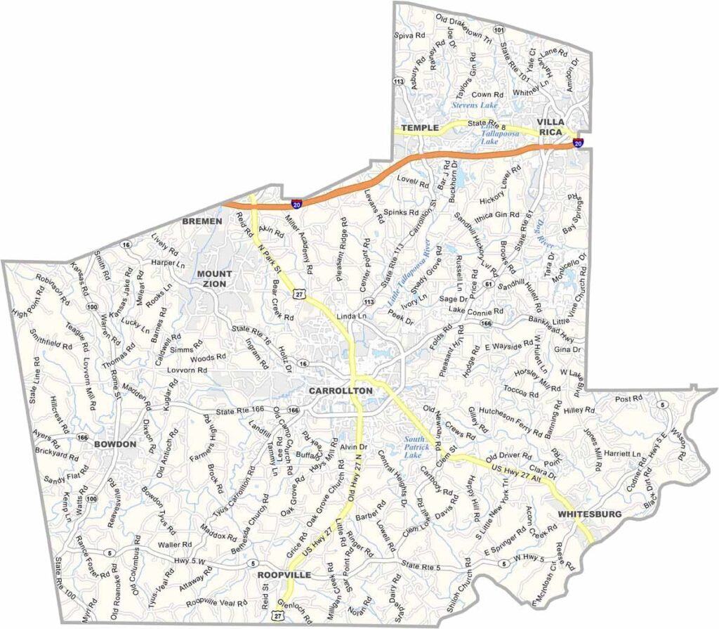
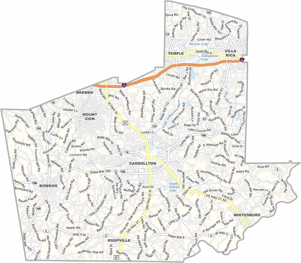
Carroll County is located in west Georgia along the Alabama border. Carrollton serves as the county seat and is home to the University of West Georgia. The county is named after Charles Carroll, the last surviving signer of the Declaration of Independence.
The area has a mix of rural farmland and growing suburban communities. Atlanta’s influence is expanding into the county, bringing new development and more commuters. Lake Carroll offers opportunities for fishing and boating, while the Little Tallapoosa River winds through the county and adds to its natural scenery.
Carroll County brings together college life in Carrollton, farming communities throughout the countryside, and residents who commute toward Atlanta. Although development continues to change the area, the county still maintains a relaxed, small-town character. Football, barbecue, and a quieter way of life remain important parts of the local culture.
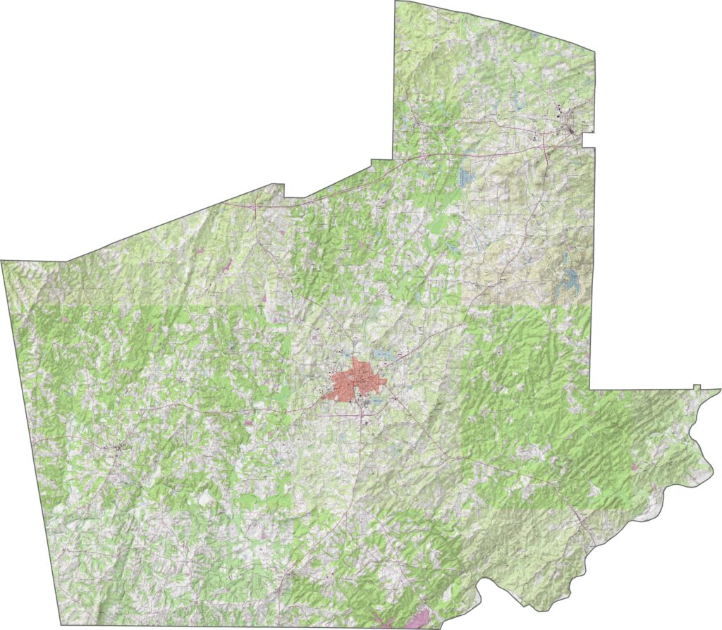
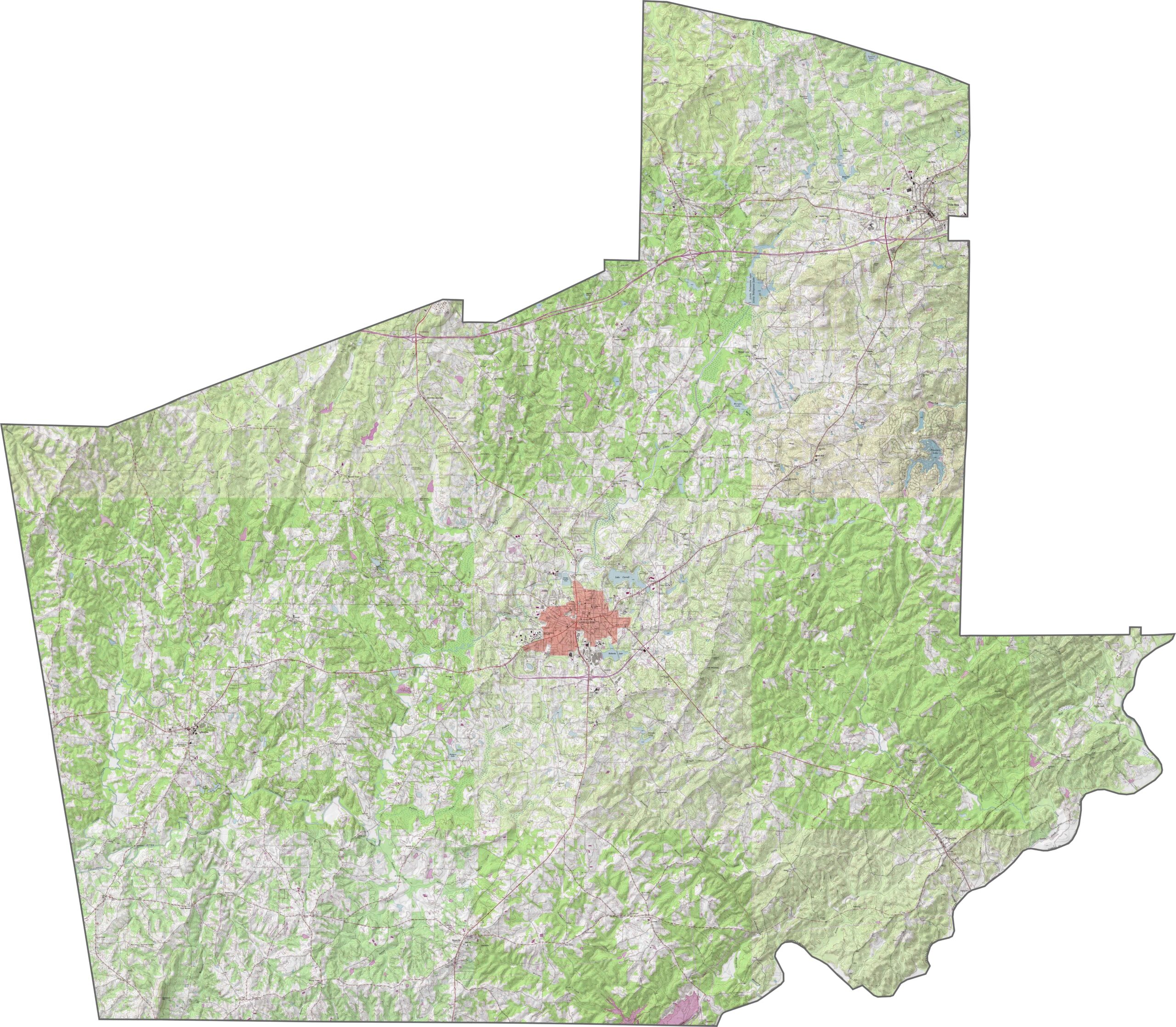
Our Carroll County topographic map shows the hills and valleys that shape the area. Carrollton sits on relatively higher ground, while Snake Creek flows along the western edge. Use our zoom tool to explore the Little Tallapoosa River as it winds through the county’s lower areas.
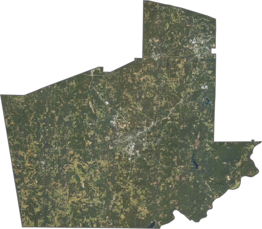
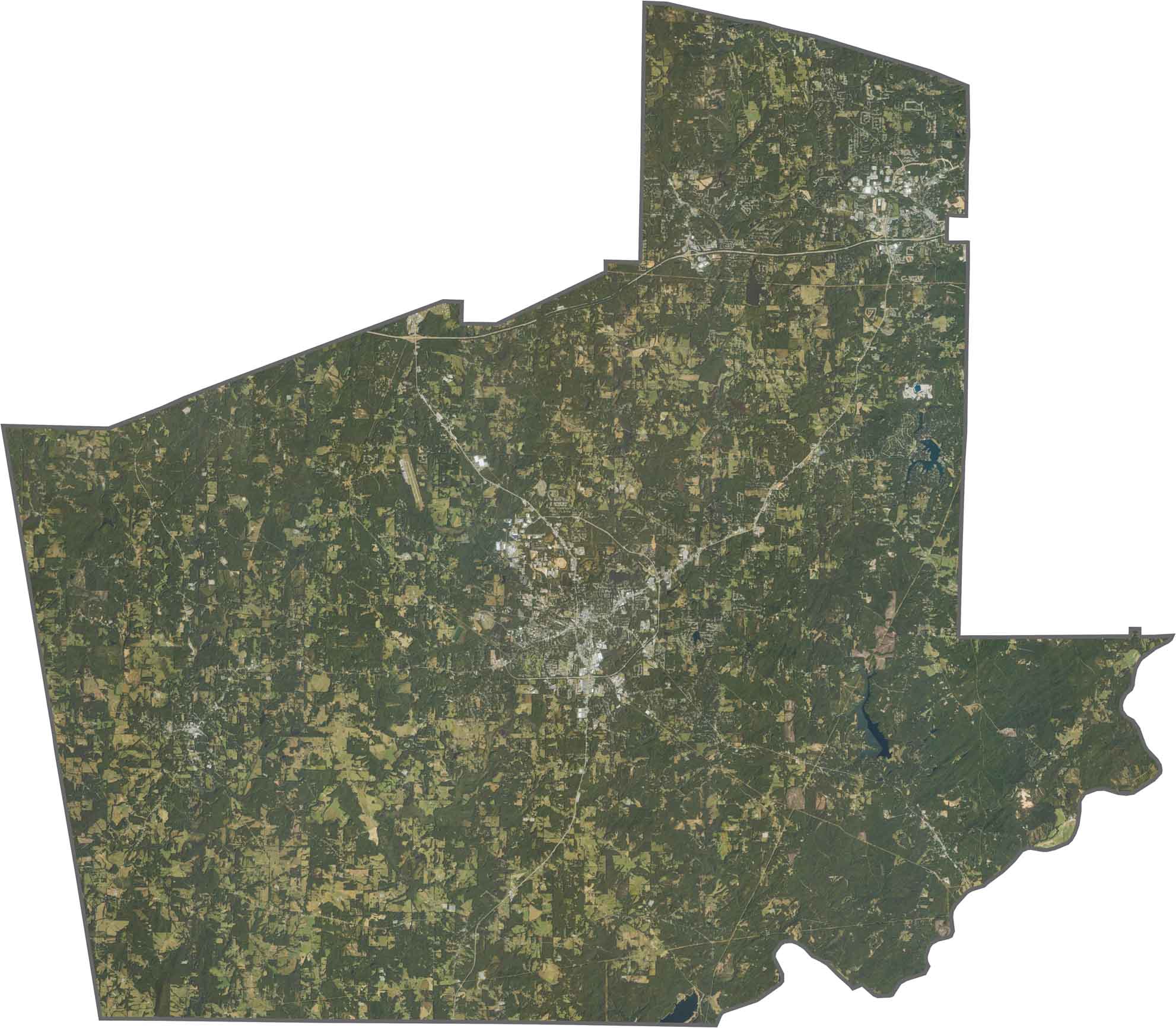
This satellite map highlights Carroll County’s mix of farmland and wooded landscapes. The eastern edge borders the Atlanta metropolitan area, where development and subdivisions are becoming more common. Western sections remain more rural, with scattered small communities and Lake Carroll adding to the landscape.
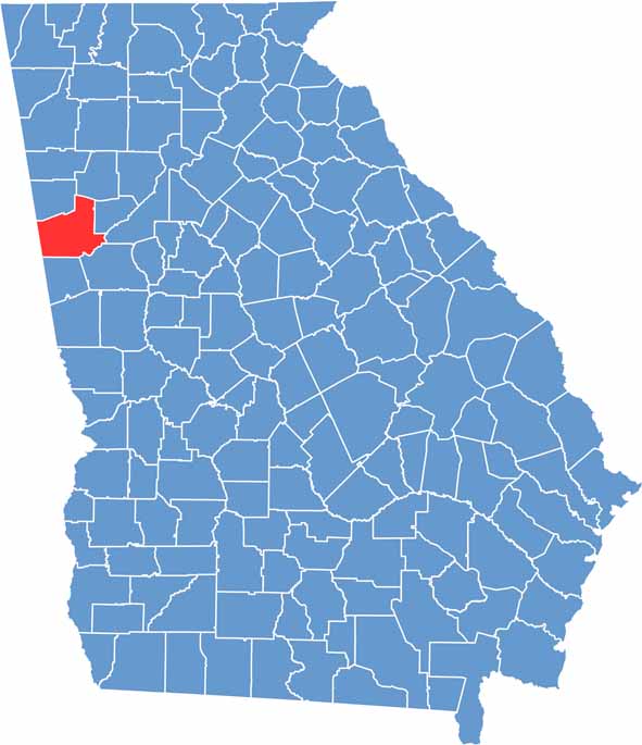
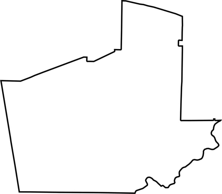
Carroll County has a nearly square shape with a few irregularities along its boundaries. The Chattahoochee River forms part of the southern border, separating the county from neighboring Alabama.








Now available! Our Georgia county map highlights all 159 counties with exceptional detail and clarity. Whether you're exploring geography, planning a trip, or learning more about the Peach State, this comprehensive map is the resource you've been looking for. Discover Georgia like never before and explore every corner of the state.