
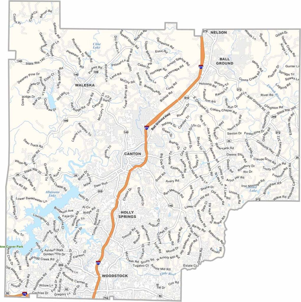
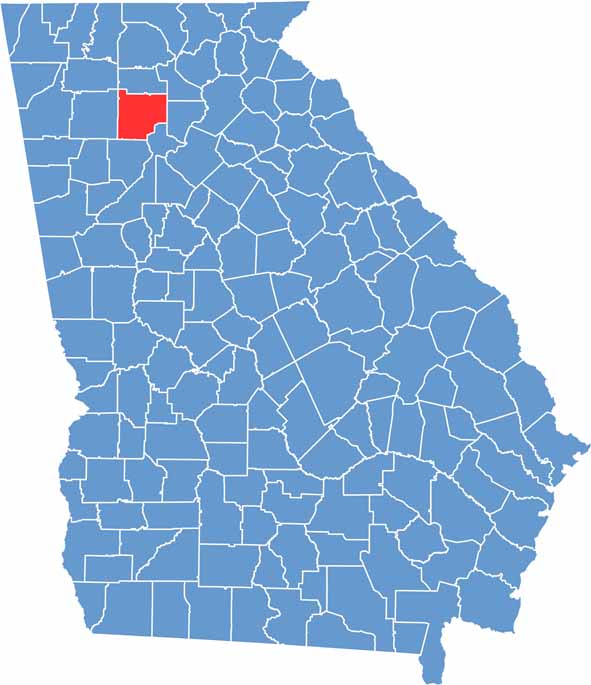
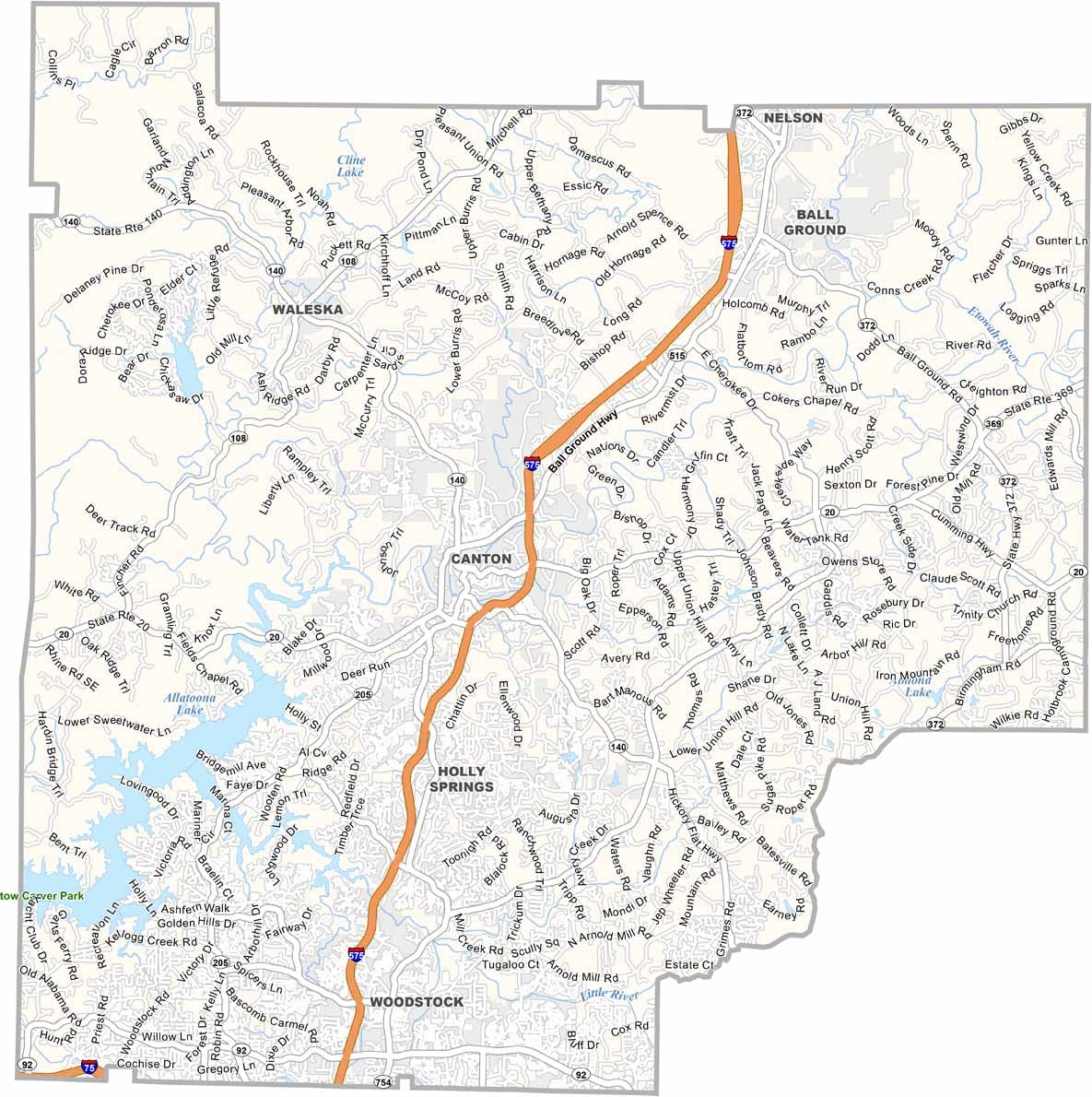
Cherokee County is located just north of Atlanta, where the suburbs begin to meet the foothills of North Georgia. Canton serves as the county seat and has experienced significant growth in recent years.
The county is named after the Cherokee people who once called this area home. Today, longtime farming families share the community with Atlanta commuters and new residents. Lake Allatoona offers opportunities for boating and fishing, while the Etowah River winds through the county and adds to its natural scenery.
Cherokee County is changing quickly, with new subdivisions replacing some former farmland. Despite this growth, the county continues to preserve much of its rural character and local traditions. You can still find country breakfasts, friendly local diners, and a strong sense of community alongside the newer suburban developments.
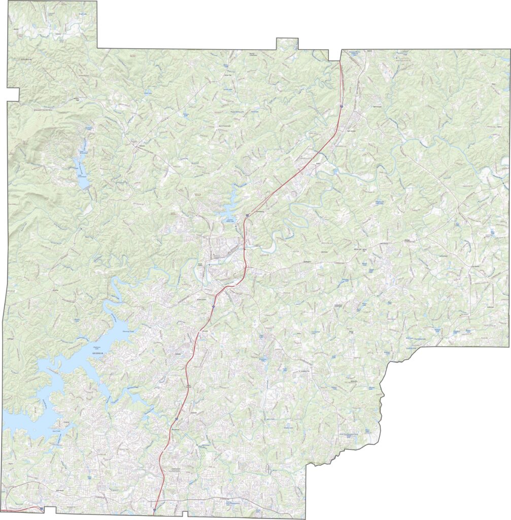
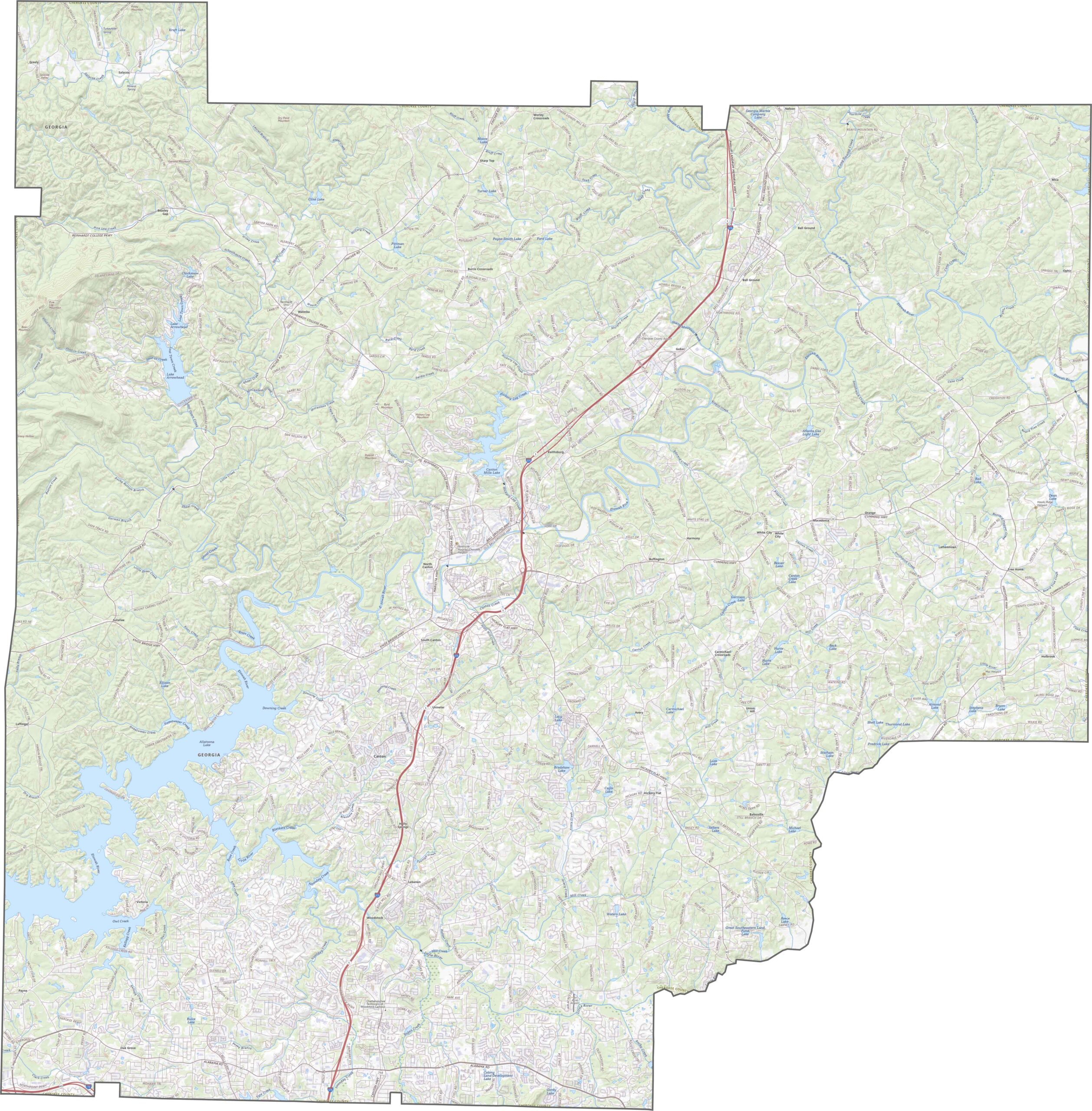
Our Cherokee County topographic map shows its rolling hills and ridges. Use our zoom tool to explore Canton, where several waterways meet the Etowah River. Lake Allatoona covers much of the southwestern portion, with numerous coves and inlets winding among the surrounding hills.
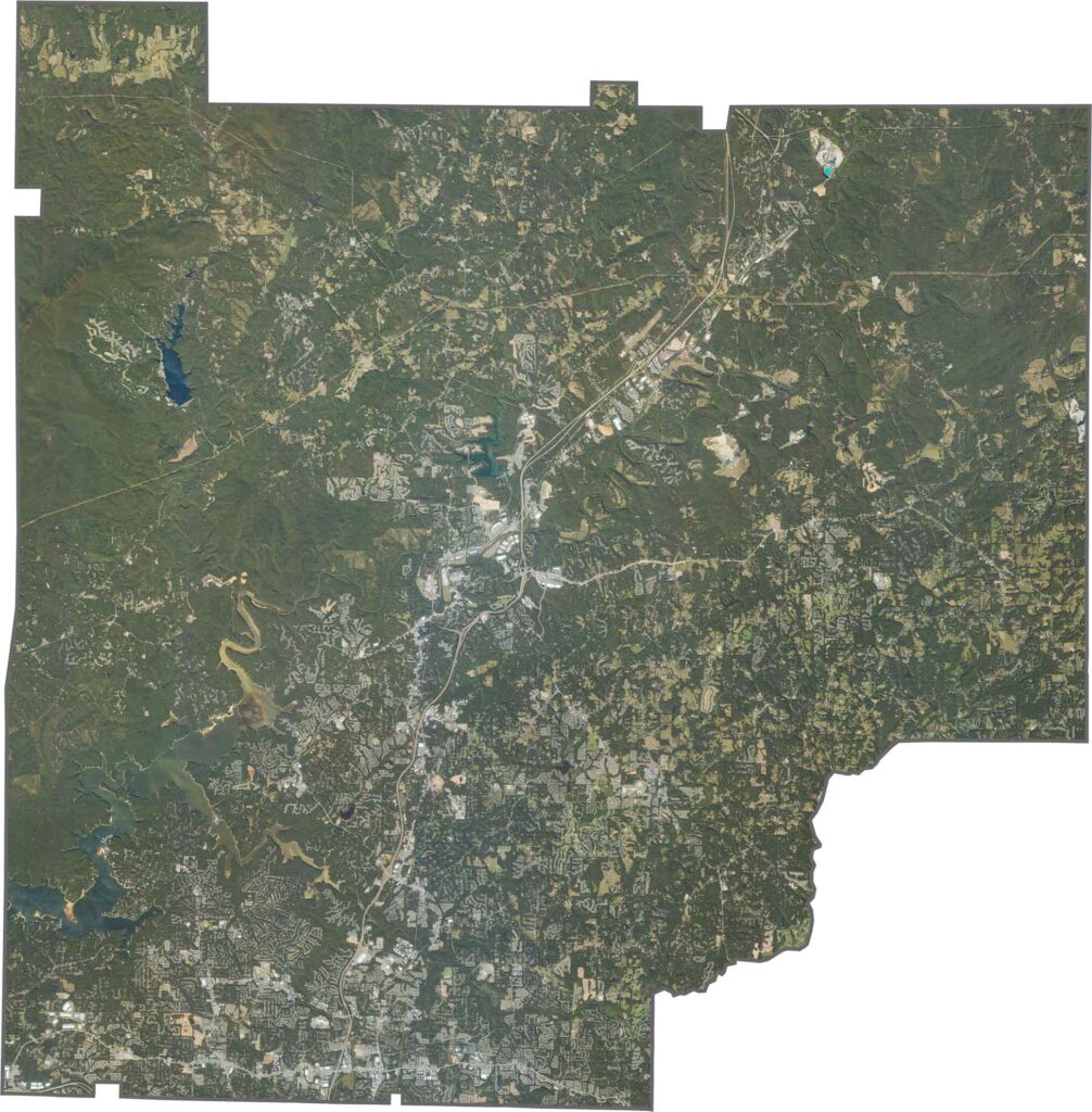
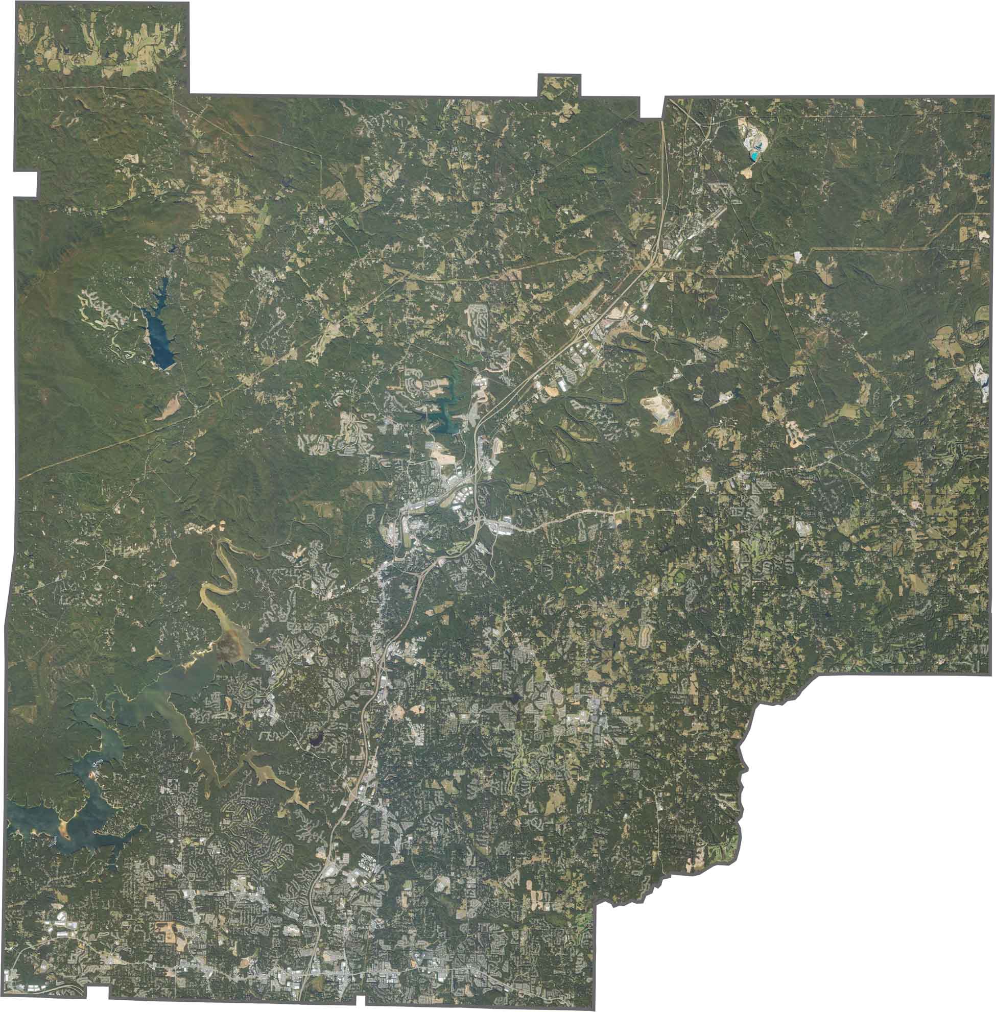
This satellite map reveals the mix of urban and rural landscapes across Cherokee County. The southern region connects to Atlanta’s suburbs, with dense housing developments and growing communities. Farther north, forests and farms extend toward the foothills of the Blue Ridge Mountains.
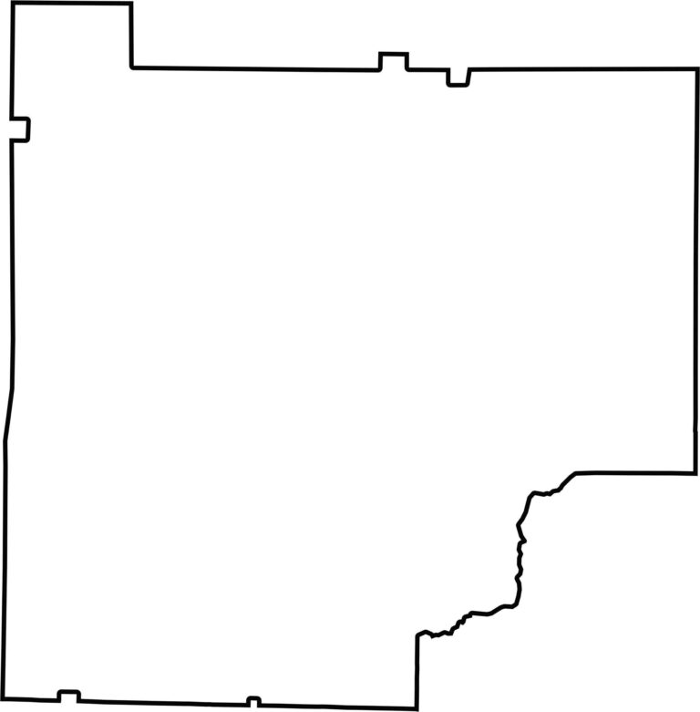
Cherokee County has an irregular shape, roughly resembling a square with a tilted triangular section in the southeast. Several notches and bends appear along its borders with neighboring counties. The southern boundary includes bends that follow portions of the Little River and other natural features.








Now available! Our Georgia county map highlights all 159 counties with exceptional detail and clarity. Whether you're exploring geography, planning a trip, or learning more about the Peach State, this comprehensive map is the resource you've been looking for. Discover Georgia like never before and explore every corner of the state.