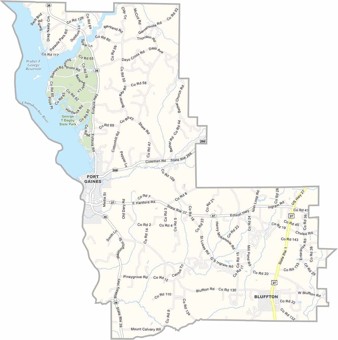
Clay County, Georgia

Clay County is located in southwestern Georgia along the Alabama border. Fort Gaines serves as the county seat, and the county was named in honor of Henry Clay, the influential Kentucky senator and statesman known for his role in shaping early American politics.

Lake Walter F. George, also known as Lake Eufaula, forms the county’s western boundary and provides opportunities for fishing, boating, and other outdoor activities. Agriculture remains an important part of the local economy, with peanuts and cotton continuing to be the county’s primary crops.

Like many rural counties in the region, Clay County has experienced a gradual population decline over the years. Despite its challenges, the county maintains a quiet, small-town atmosphere where history, agriculture, and a strong sense of community continue to define everyday life.


Printable Stone County Missouri location map showing county location and boundaries
Category Details
County Name Clay County
County Seat Fort Gaines
Cities, Towns, and Communities Fort Gaines, and several unincorporated communities
Interstates and Highways US 27, US 82, State Route 37
Etymology Named after Henry Clay, an American statesman
FIPS Code 13-061
Total Area (Land and Water) 211 square miles (land: 190 sq mi, water: 21 sq mi)
Time Zone Eastern Time Zone (ET)
State Georgia
Coordinates 31.5823° N, 84.7582° W
Major Landmarks Lake Eufaula (partially in Clay County), Fort Gaines Historic District
Adjacent Counties (and Direction) Quitman County (North), Randolph County (Northeast), Calhoun County (East), Early County (South), Henry County, Alabama (West), Barbour County, Alabama (Northwest)
Population Approximately 3,000
Scroll to Top