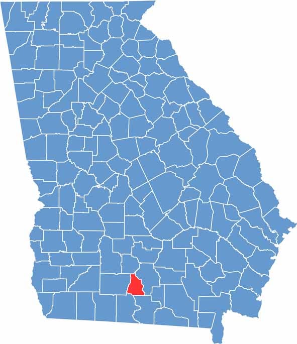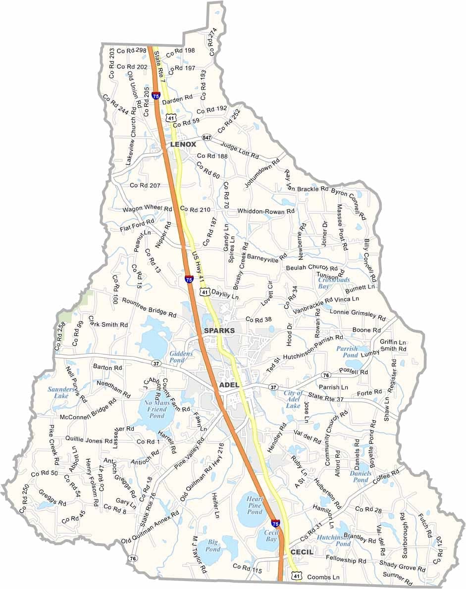
Cook County is located in south Georgia, not far from the Florida border, with Adel serving as the county seat. Agriculture remains a vital part of the local economy, with cotton, tobacco, and a variety of vegetables grown throughout the county.
Reed Bingham State Park is one of the area’s most popular attractions, offering opportunities for camping, fishing, boating, and wildlife viewing. The New River forms much of the county’s eastern boundary, adding to the region’s natural beauty and outdoor recreation options.
Known for its warm climate and rural character, Cook County experiences long, hot summers and generally mild winters. While it may not have major tourist destinations, the county offers a relaxed pace of life, friendly communities, and the traditional Southern hospitality that defines much of south Georgia.