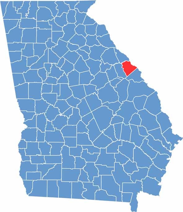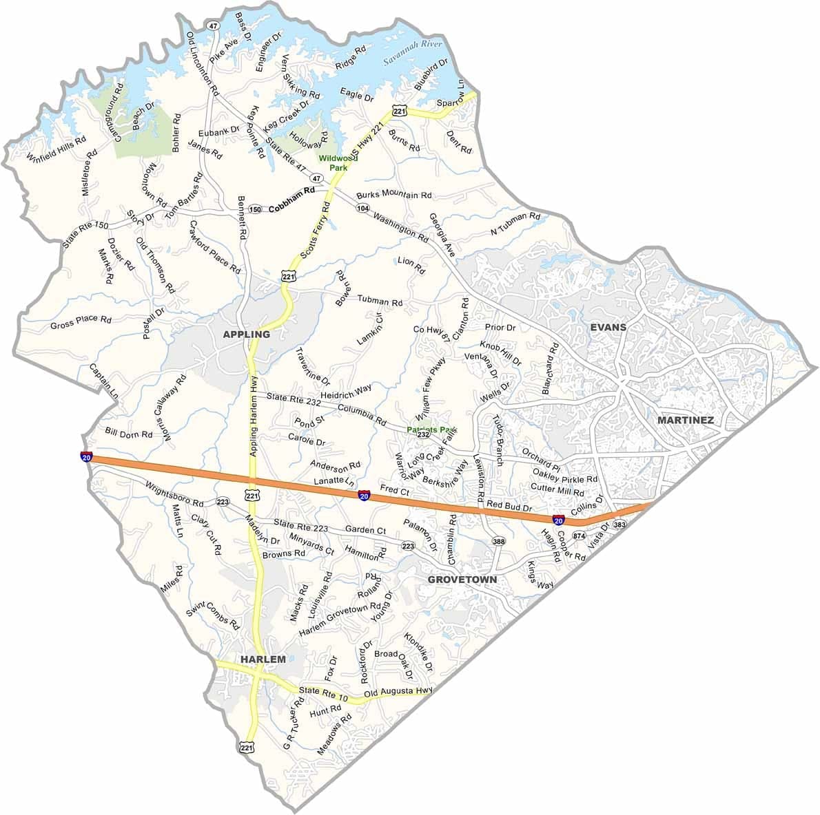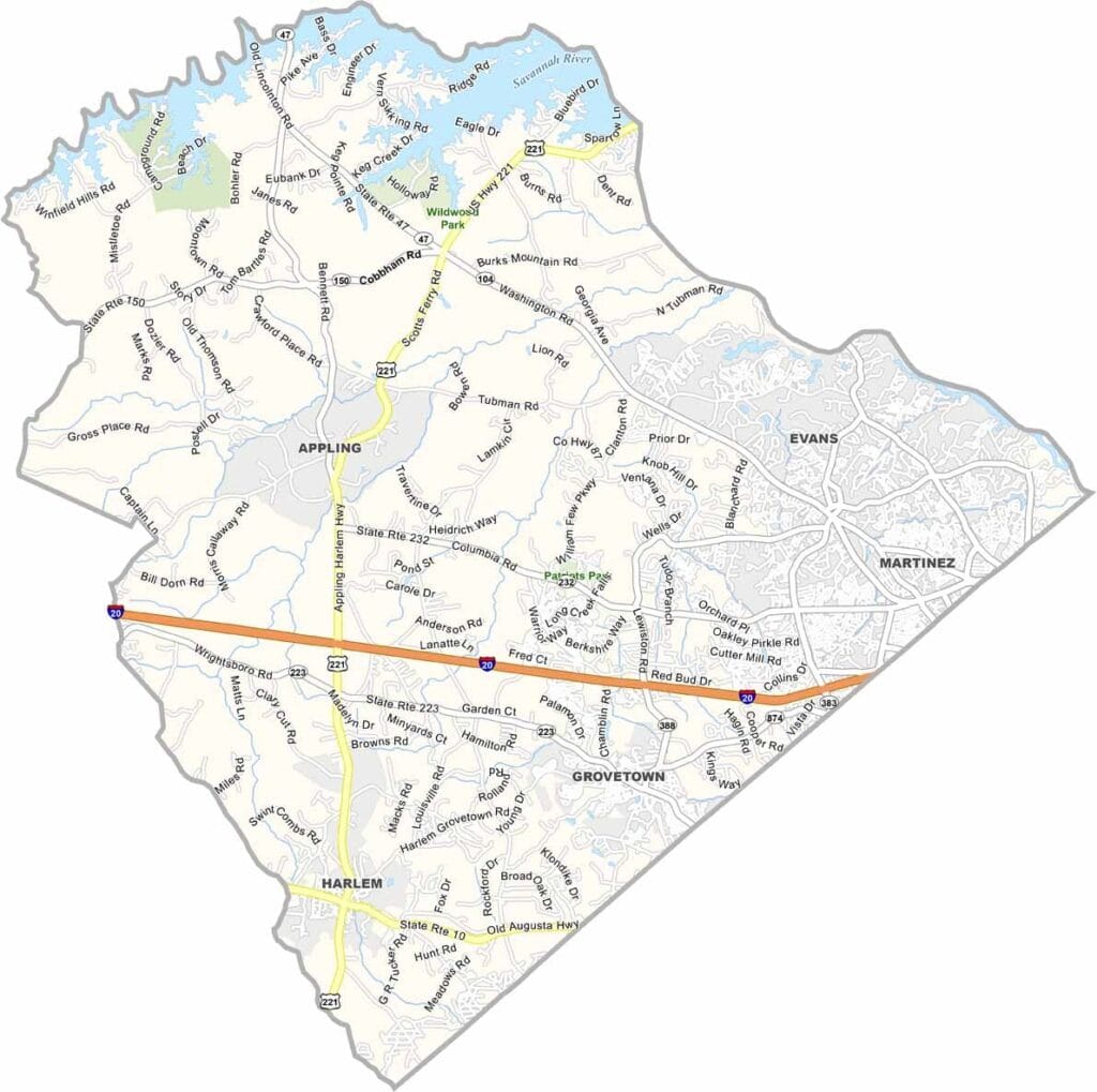
Columbia County is located just northwest of Augusta and has become one of Georgia’s fastest-growing suburban counties. Although Appling is the official county seat, most county government operations are based in Evans, the county’s largest and most developed community.
Growth has transformed much of the county in recent decades, with new neighborhoods, shopping centers, and businesses continuing to expand across the area. The Savannah River forms the county’s eastern boundary, while Clarks Hill Lake is a popular destination for boating, fishing, and other outdoor activities.
Today, Columbia County is known for its highly rated schools, family-friendly communities, and convenient access to Augusta. The county attracts a diverse mix of residents, including military families, professionals, and retirees. With its blend of suburban amenities and natural beauty, Columbia County continues to be one of the most desirable places to live in eastern Georgia.