
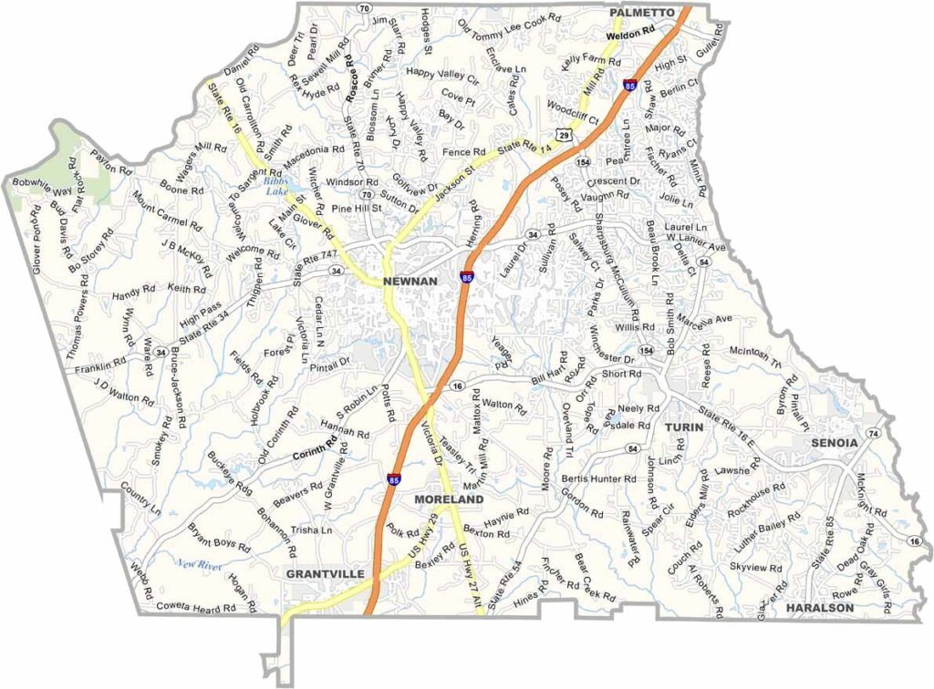
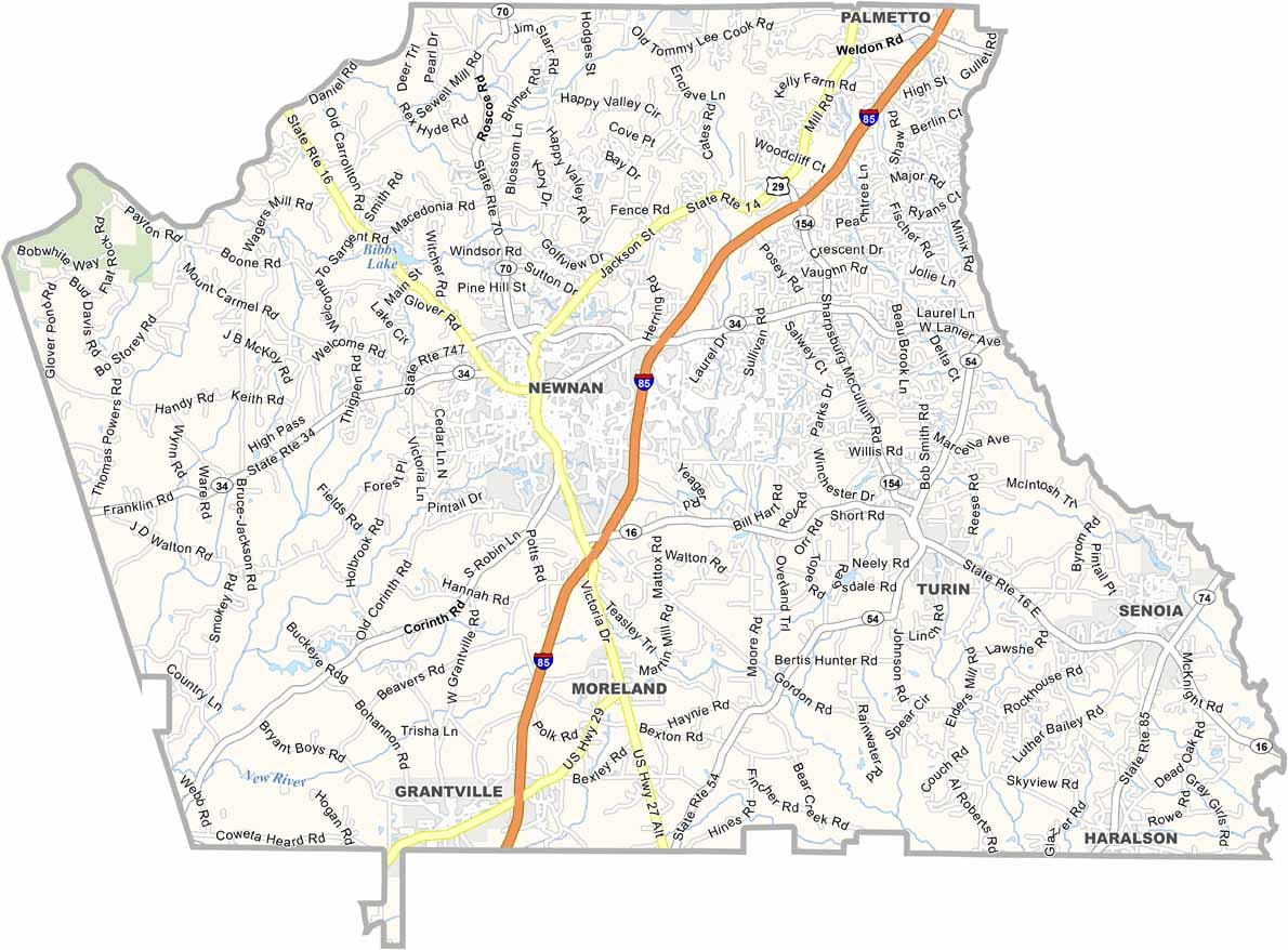
Coweta County is located about 40 miles southwest of Atlanta in west-central Georgia. The county is named after the Coweta, a Creek Native American group that once lived in the region.
Coweta County played a role in the Civil War, with several skirmishes taking place in the area. Today, it is known for its highly regarded schools, growing communities, and expanding film industry. Senoia gained national attention as a filming location for “The Walking Dead.”
Newnan, the county seat, features a charming historic downtown filled with preserved buildings, local shops, and restaurants. Lake McIntosh offers opportunities for fishing and boating, while the county’s suburban and rural communities provide a quieter lifestyle close to Atlanta. Coweta County has become a popular place for newcomers and families looking for more space while remaining within reach of the metro area.
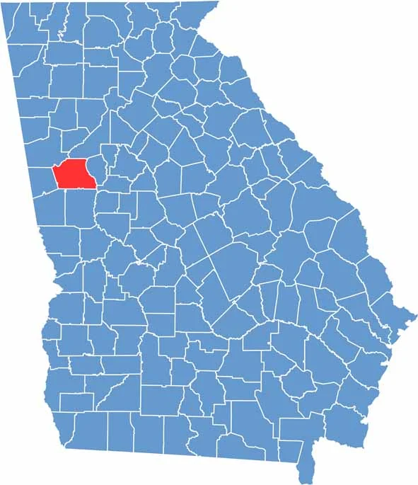
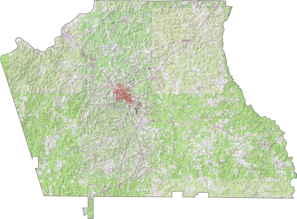
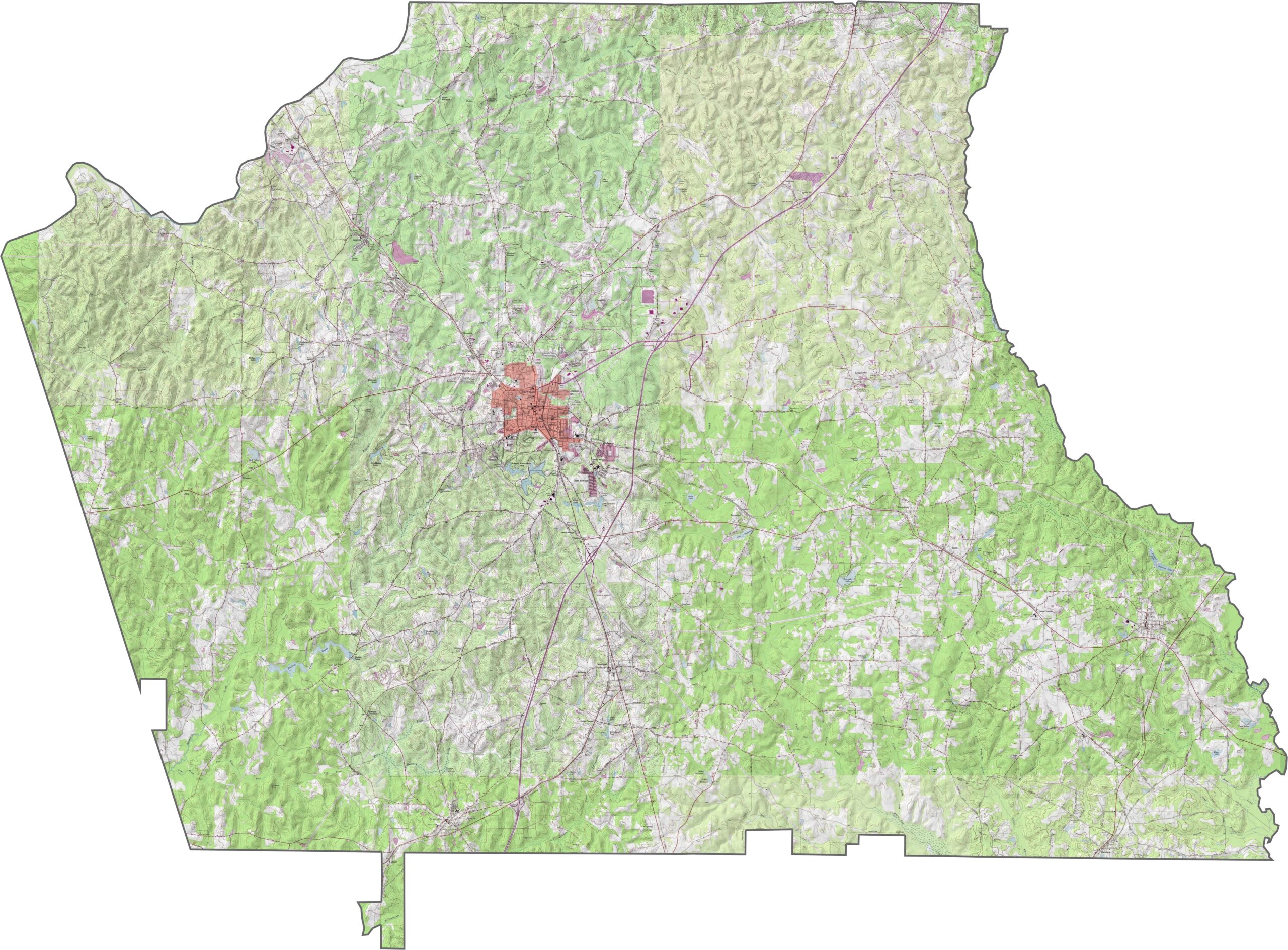
Our Coweta County topographic map shows gentle hills and creek valleys throughout the terrain. Use our zoom tool to explore Newnan, Line Creek, and the major highways that cross the county.
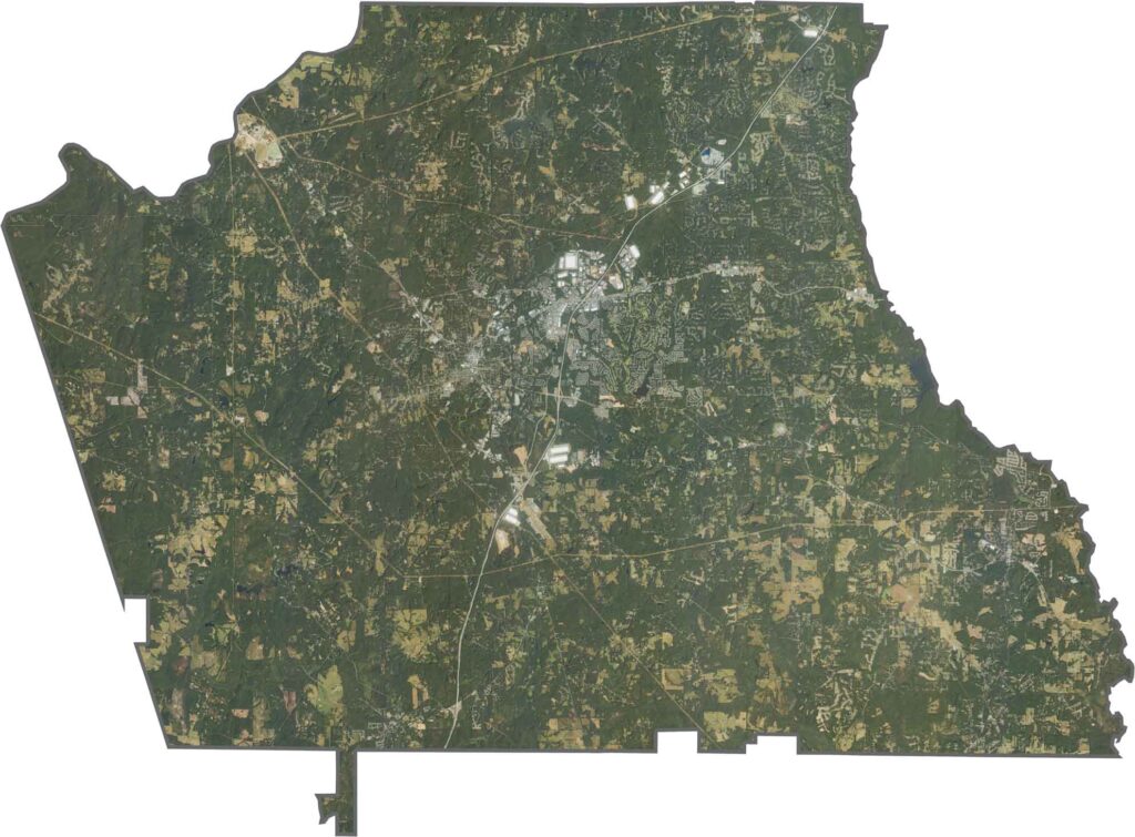
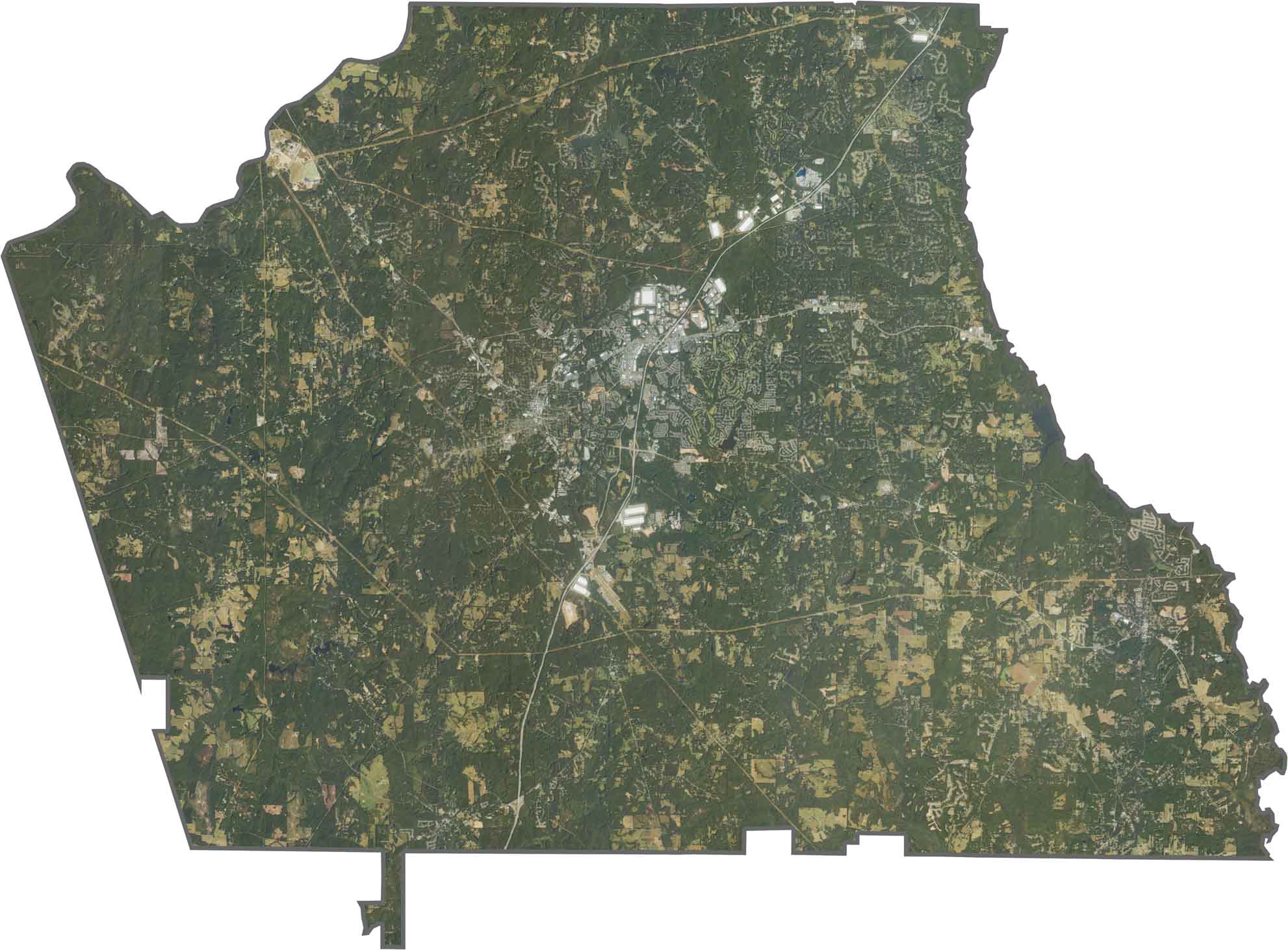
This satellite map highlights Coweta County’s mix of developed areas and rural landscapes. The northern section features growing suburbs connected to Atlanta by Interstate 85, while the western portion contains large tracts of farmland and forests with scattered small communities.
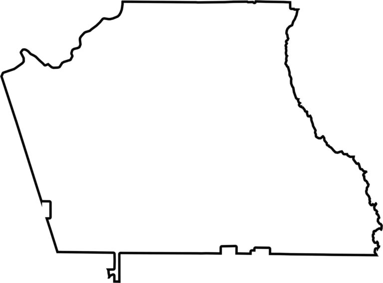
Coweta County has a nearly parallelogram-shaped outline with a few irregularities along its boundaries. Line Creek forms a significant portion of the eastern boundary, creating a natural county line and adding to the distinctive shape of the area.








Now available! Our Georgia county map highlights all 159 counties with exceptional detail and clarity. Whether you're exploring geography, planning a trip, or learning more about the Peach State, this comprehensive map is the resource you've been looking for. Discover Georgia like never before and explore every corner of the state.