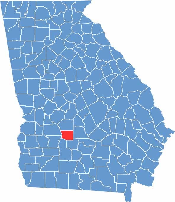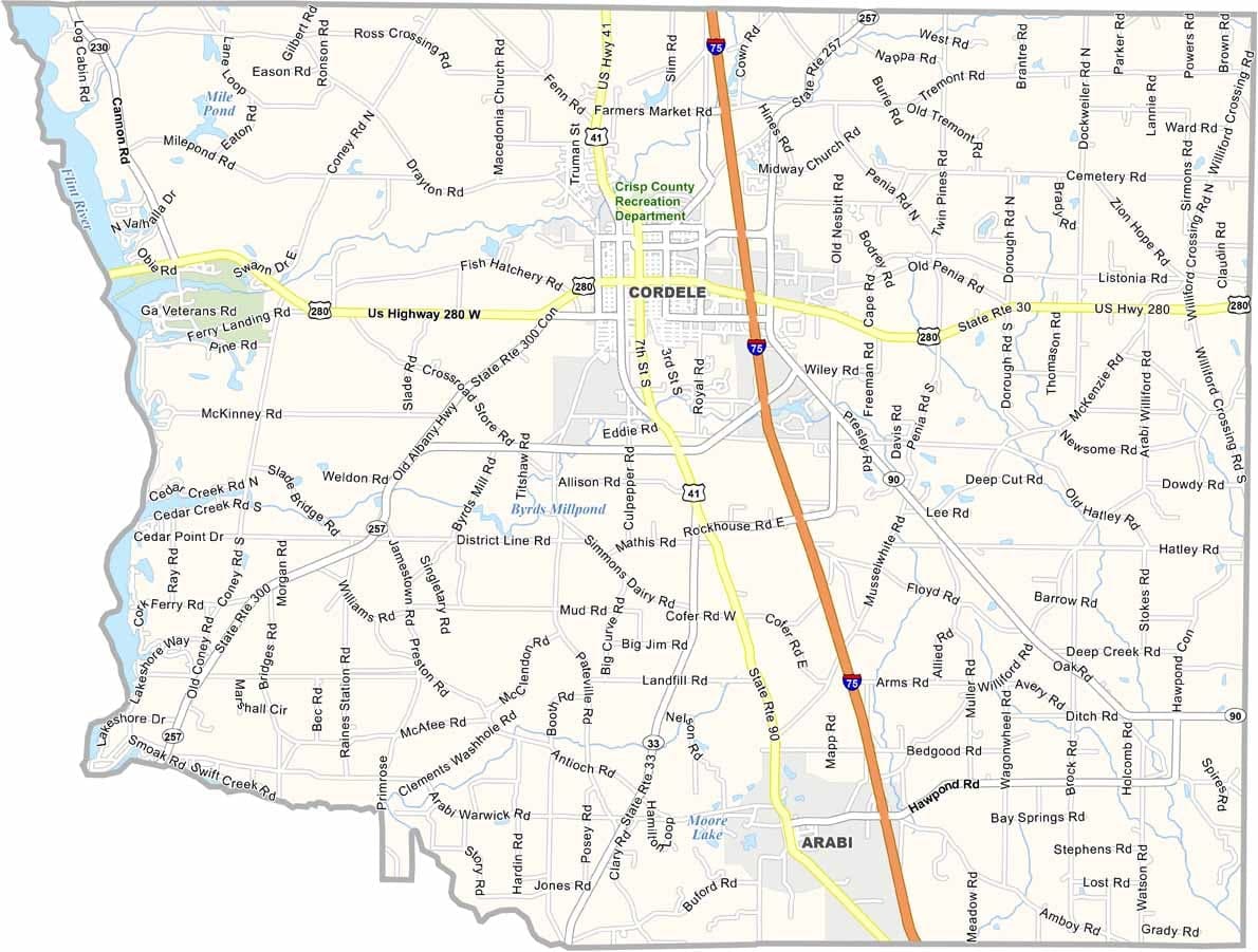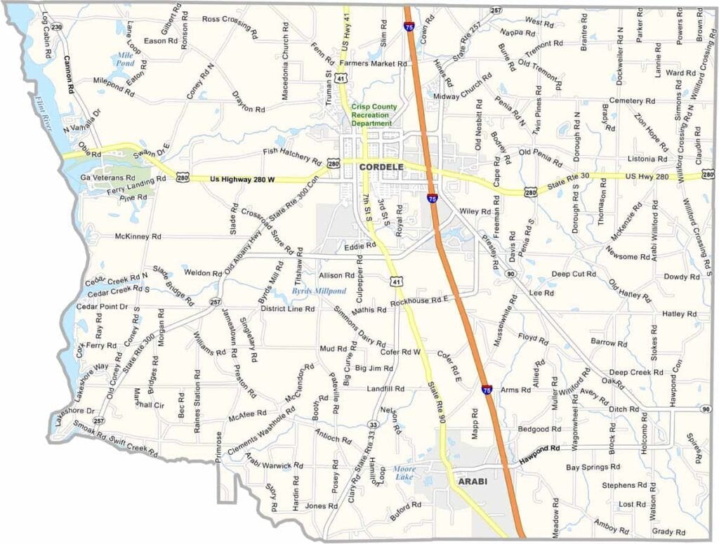
Crisp County is located in south-central Georgia, roughly halfway between Macon and Albany. The county was named after Charles Frederick Crisp, a prominent Georgia congressman and former Speaker of the U.S. House of Representatives. Cordele serves as the county seat and is the region’s largest city.
One of the county’s most notable features is Lake Blackshear, which forms much of its western boundary and provides opportunities for boating, fishing, and other outdoor activities. Georgia Veterans State Park, located along the lake, offers camping facilities, a golf course, and a museum dedicated to military history.
Agriculture remains an important part of the local economy, with cotton and peanuts among the county’s leading crops. Cordele is widely known as the “Watermelon Capital of the World,” reflecting the area's farming heritage.