
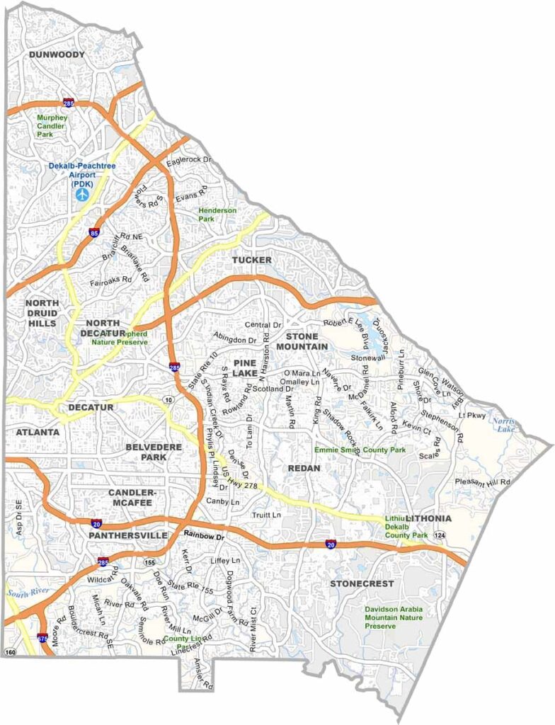
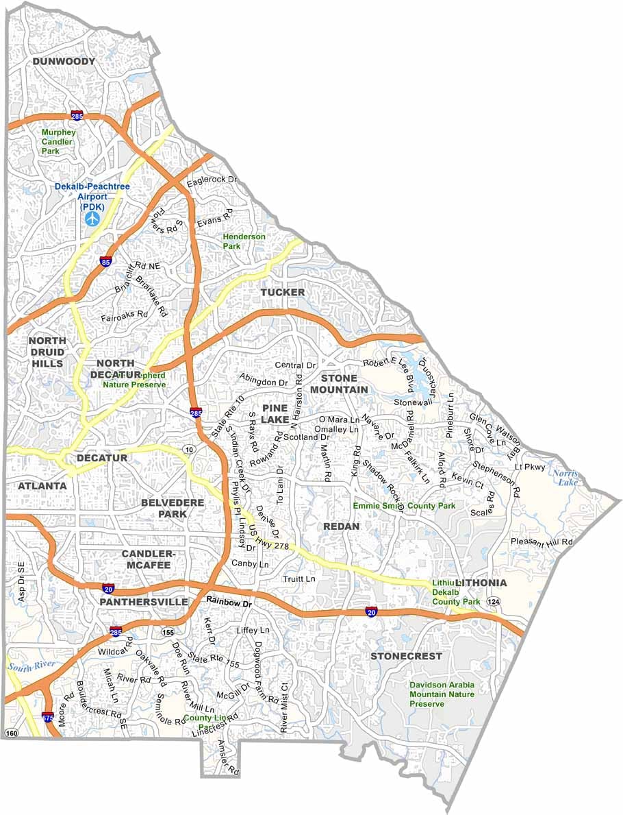
DeKalb County is part of the Atlanta metropolitan area, located just east of the city. Stone Mountain Park, with its massive granite outcropping, is the county’s most famous attraction and a popular destination for outdoor recreation.
Decatur, the county seat, has a lively downtown filled with shops, restaurants, and local businesses. DeKalb County is one of Georgia’s most diverse communities, with residents from many cultural backgrounds. Emory University and the Centers for Disease Control and Prevention are both major institutions in the county.
DeKalb Farmers Market is a popular destination for food lovers, offering products and ingredients from around the world. The county also has a thriving arts and entertainment scene, with theaters, music venues, and cultural events throughout the area. Despite its urban character, DeKalb County still has quiet neighborhoods, wooded areas, parks, and green spaces.
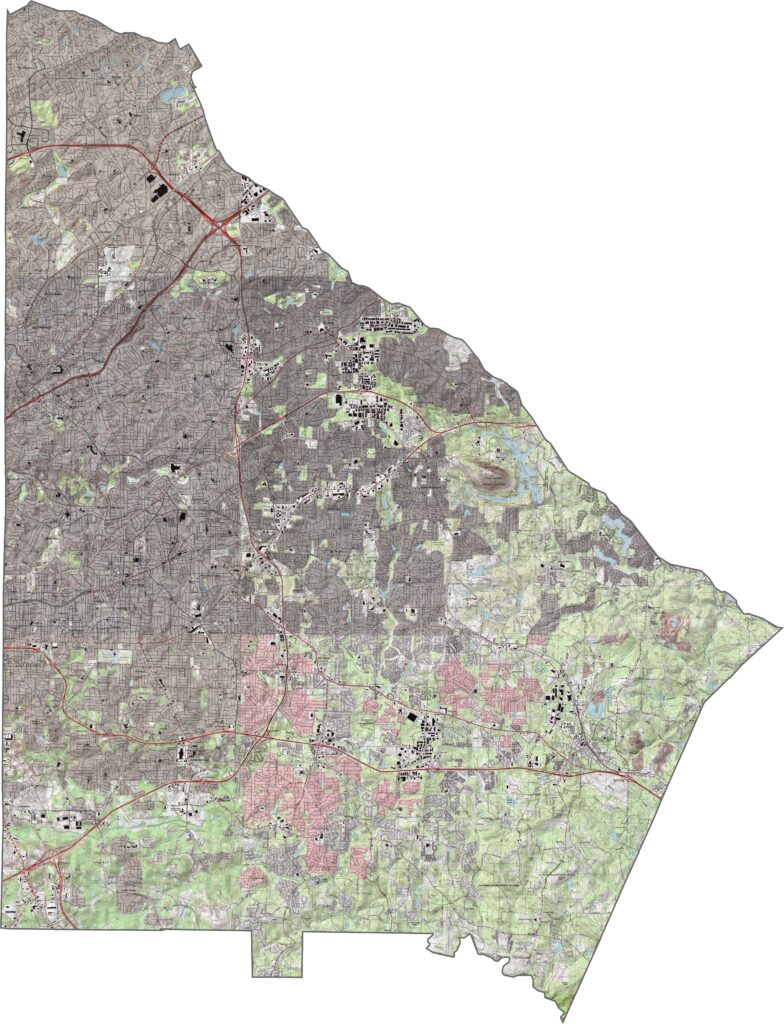
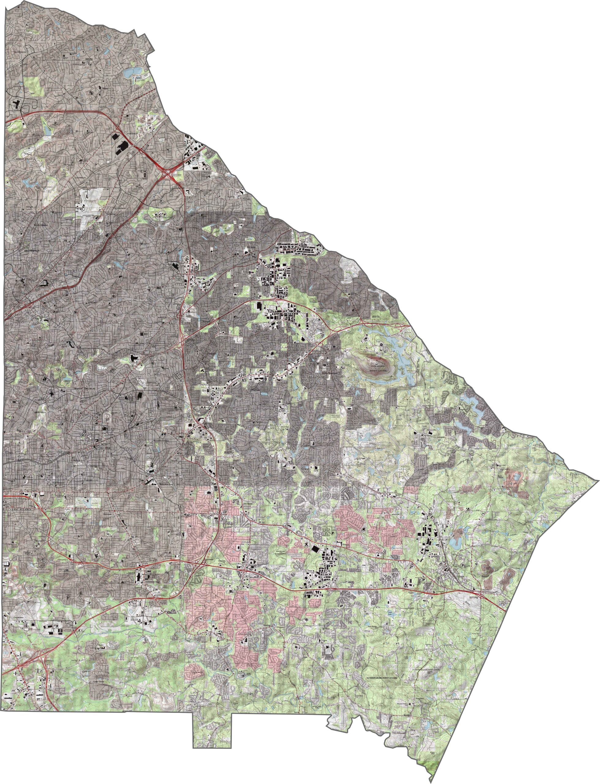
Our DeKalb County topographic map shows granite outcroppings and rolling Piedmont terrain. Decatur sits near the center, while Stone Mountain dominates the eastern landscape as a massive granite monadnock rising above the surrounding terrain.
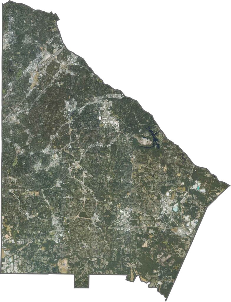
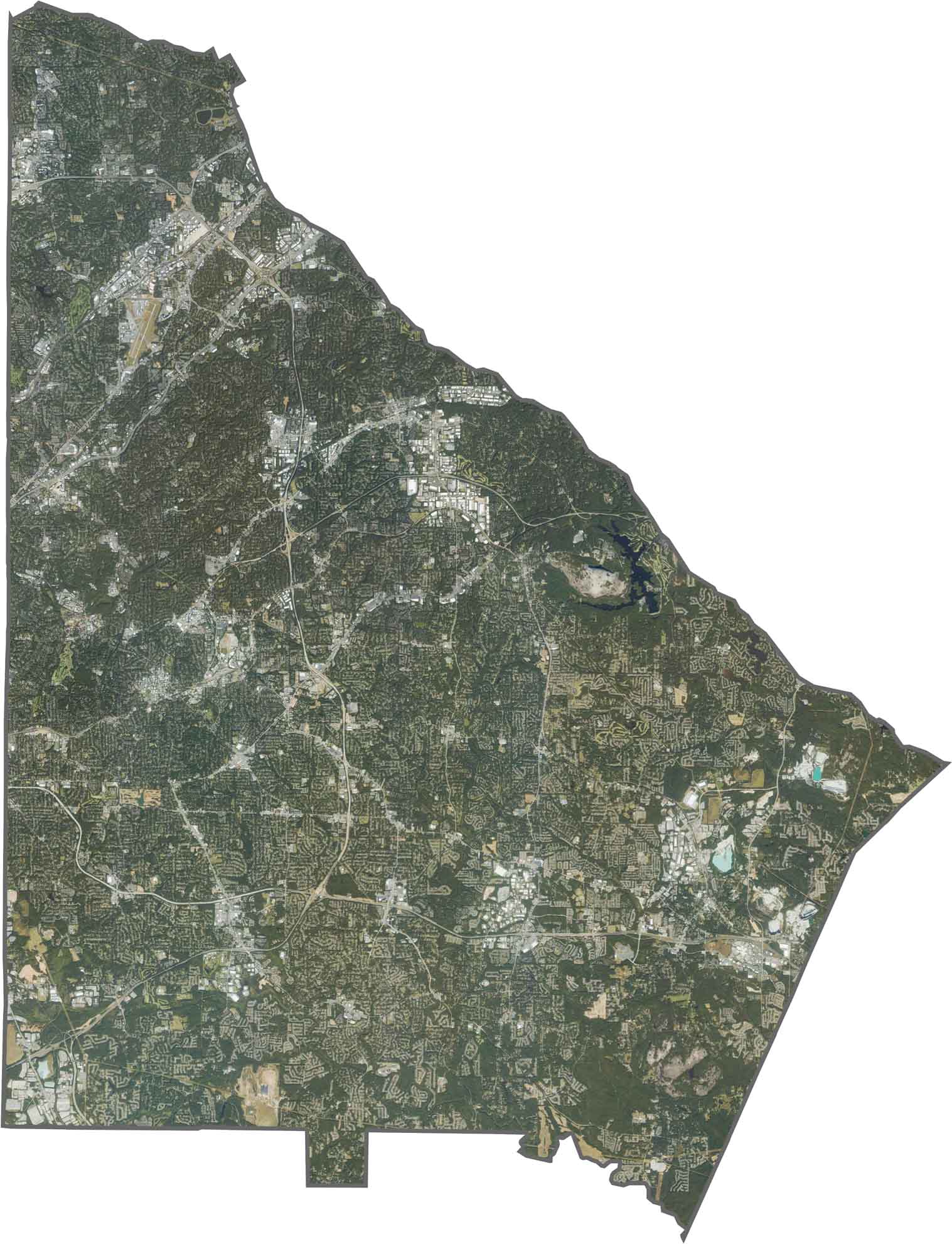
This satellite map reveals DeKalb County’s dense urban development across much of the area. The green corridor of the South River, along with several lakes, reservoirs, and major Interstate highways, stands out across the landscape. Use our zoom tool to explore the mix of urban neighborhoods, suburban communities, and preserved green spaces.
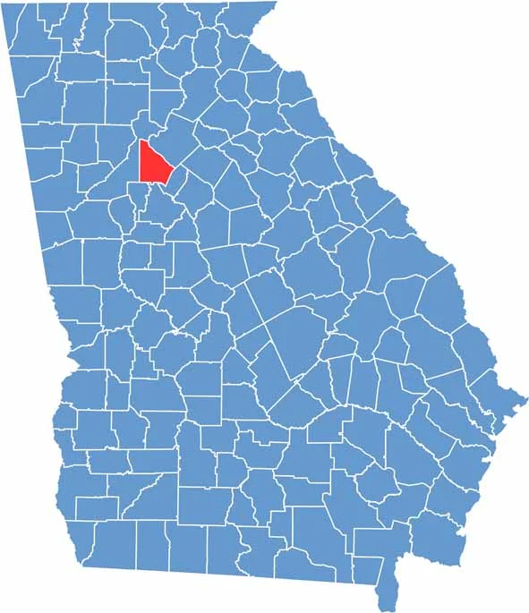
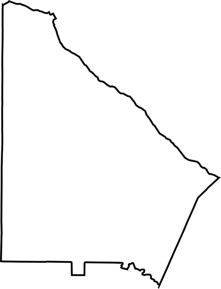
DeKalb County has an irregular, roughly triangular shape. Its western boundary follows the Atlanta city limits through several neighborhoods, while the South River flows across the southern portion and is joined by smaller tributaries that help shape parts of the landscape.








Now available! Our Georgia county map highlights all 159 counties with exceptional detail and clarity. Whether you're exploring geography, planning a trip, or learning more about the Peach State, this comprehensive map is the resource you've been looking for. Discover Georgia like never before and explore every corner of the state.