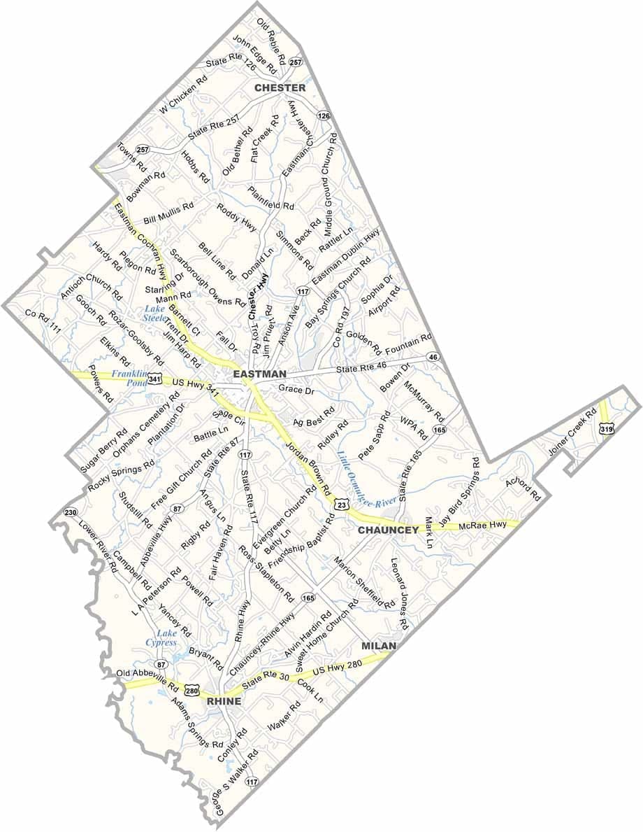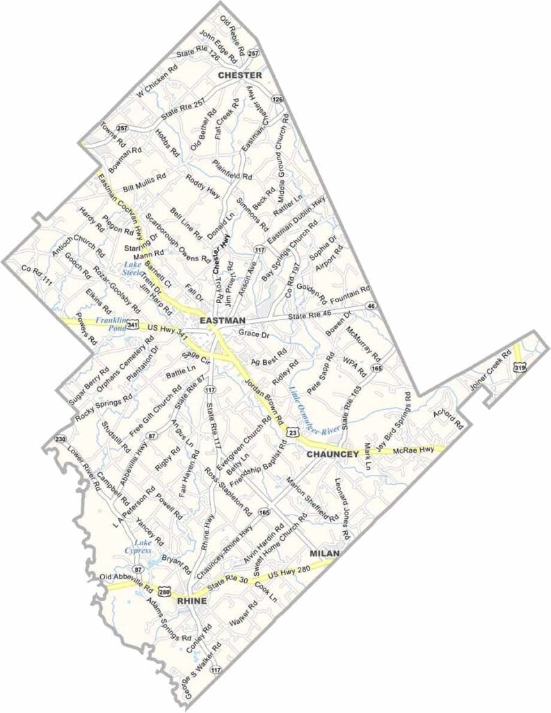
Dodge County, Georgia

Dodge County is located in central Georgia, roughly halfway between Macon and Savannah. Eastman serves as the county seat and is known for its historic downtown district, which features a variety of well-preserved buildings that reflect the area’s heritage.

Agriculture remains a cornerstone of the local economy, with cotton, peanuts, and soybeans among the county’s primary crops. The Ocmulgee River forms part of Dodge County’s western boundary, providing scenic views and opportunities for fishing and other outdoor activities.

In addition to farming, several major institutions contribute to the county’s economy. Dodge State Prison is one of the area’s largest employers, while the Middle Georgia State University aviation campus in Eastman trains future pilots and aviation professionals.
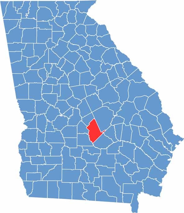

Dodge County Location Map Georgia
Category Details
County Name Dodge County
County Seat Eastman
Cities, Towns, and Communities Eastman, Chauncey, Rhine, and several unincorporated areas
Interstates and Highways U.S. Route 23, U.S. Route 341, State Route 87
Etymology Named in honor of William Earle Dodge, a businessman from New York
FIPS Code 13-091
Total Area (Land and Water) 509 square miles (land: 498 sq mi, water: 11 sq mi)
Time Zone Eastern Time Zone (ET)
State Georgia
Coordinates 32.2124° N, 83.2082° W
Major Landmarks Dodge County Courthouse, Jeff Davis Memorial, and the historic Eastman City Hall
Adjacent Counties (and Direction) Laurens County (Northeast), Wheeler County (East), Telfair County (Southeast), Wilcox County (West), Pulaski County (West), Bleckley County (Northwest)
Population Approximately 22,000
Scroll to Top