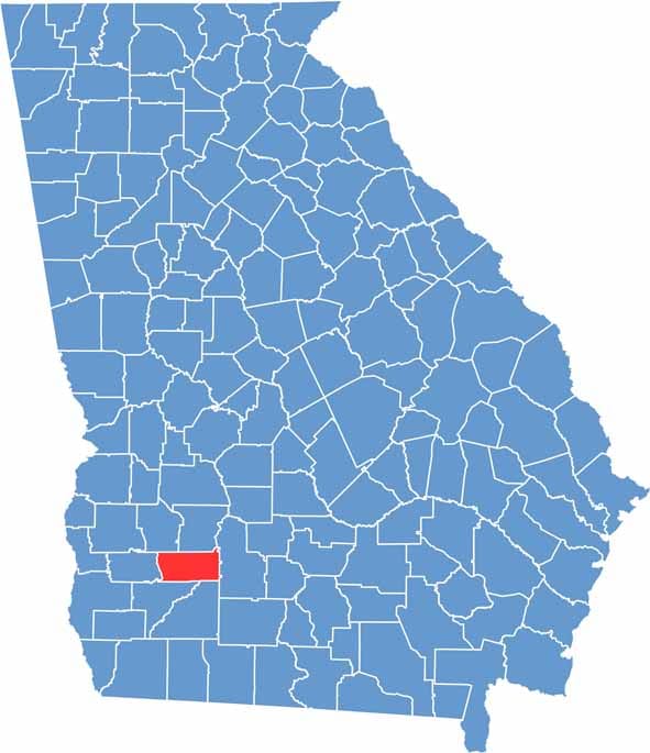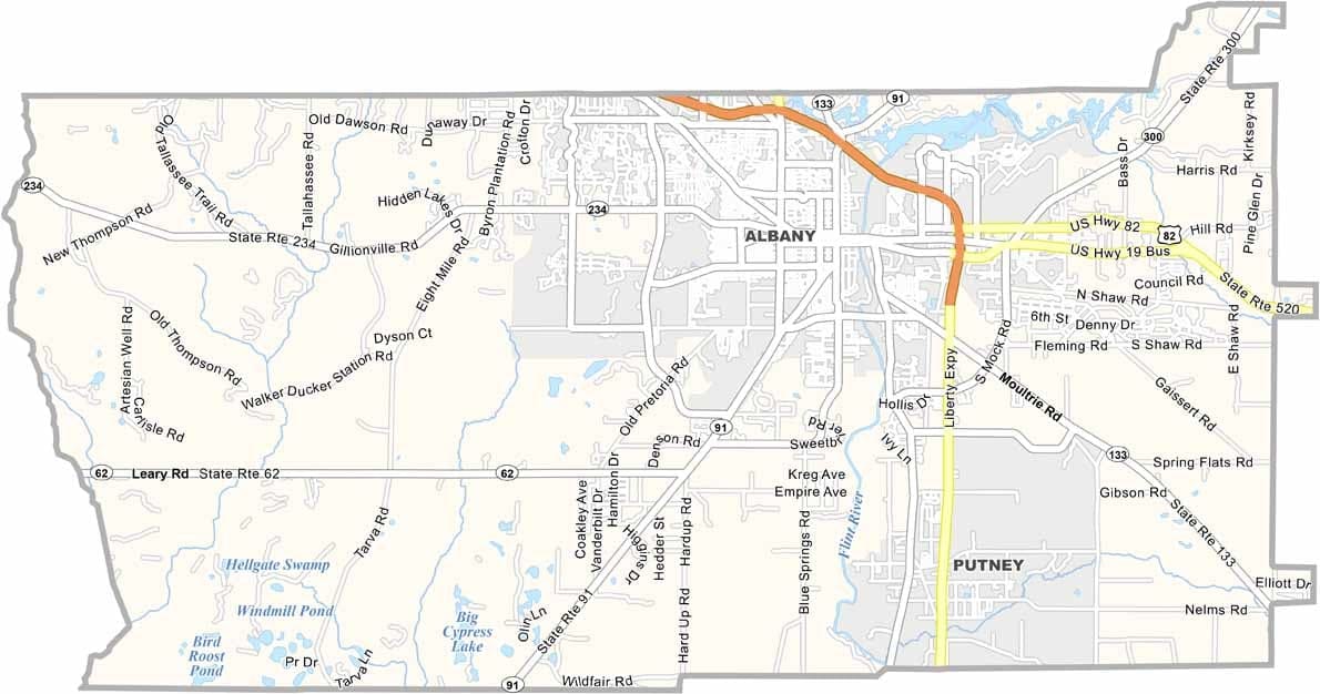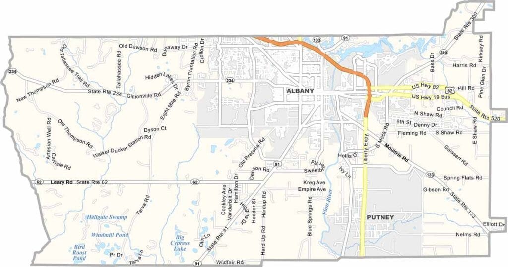
Dougherty County is located in southwestern Georgia, with Albany serving as the county seat and largest city. Often called the “Good Life City,” Albany is centered around the Flint River, which provides scenic views, recreational opportunities, and an important connection to the region’s history.
The county has a rich cultural heritage and is closely associated with notable figures such as Ray Charles. The Albany Civil Rights Institute preserves and shares the story of the local Civil Rights Movement, while Chehaw Park and Zoo offers outdoor recreation, wildlife exhibits, and family-friendly attractions.
Agriculture remains an important part of the local economy, particularly the production of peanuts and pecans. Albany State University also plays a significant role in education and community life. Although the county has faced challenges from severe weather and economic changes, its residents continue to demonstrate resilience and pride in their community.