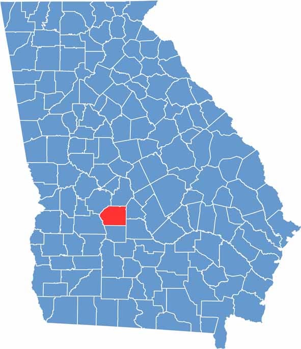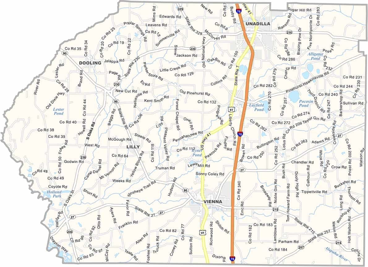
Dooly County is located in central Georgia within the state’s productive agricultural region. Known for its extensive cotton fields and strong farming tradition, the county plays an important role in Georgia’s agricultural economy. Vienna, the county seat, serves as the community’s cultural and governmental center.
One of the county’s most popular events is the Big Pig Jig, one of Georgia’s largest barbecue competitions, which attracts visitors from across the state each year. The county’s flat terrain is well suited for agriculture, while the Flint River forms its western boundary and adds scenic and recreational value to the area.
Dooly County is also home to historic sites, antebellum-era architecture, and landmarks that reflect its long history. Although largely rural, its location along several major transportation routes provides important connections to other parts of Georgia.