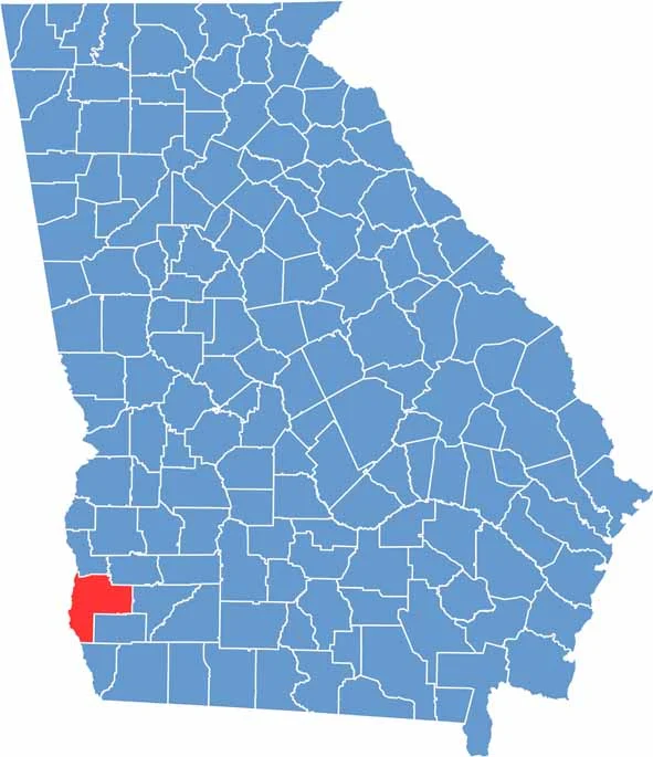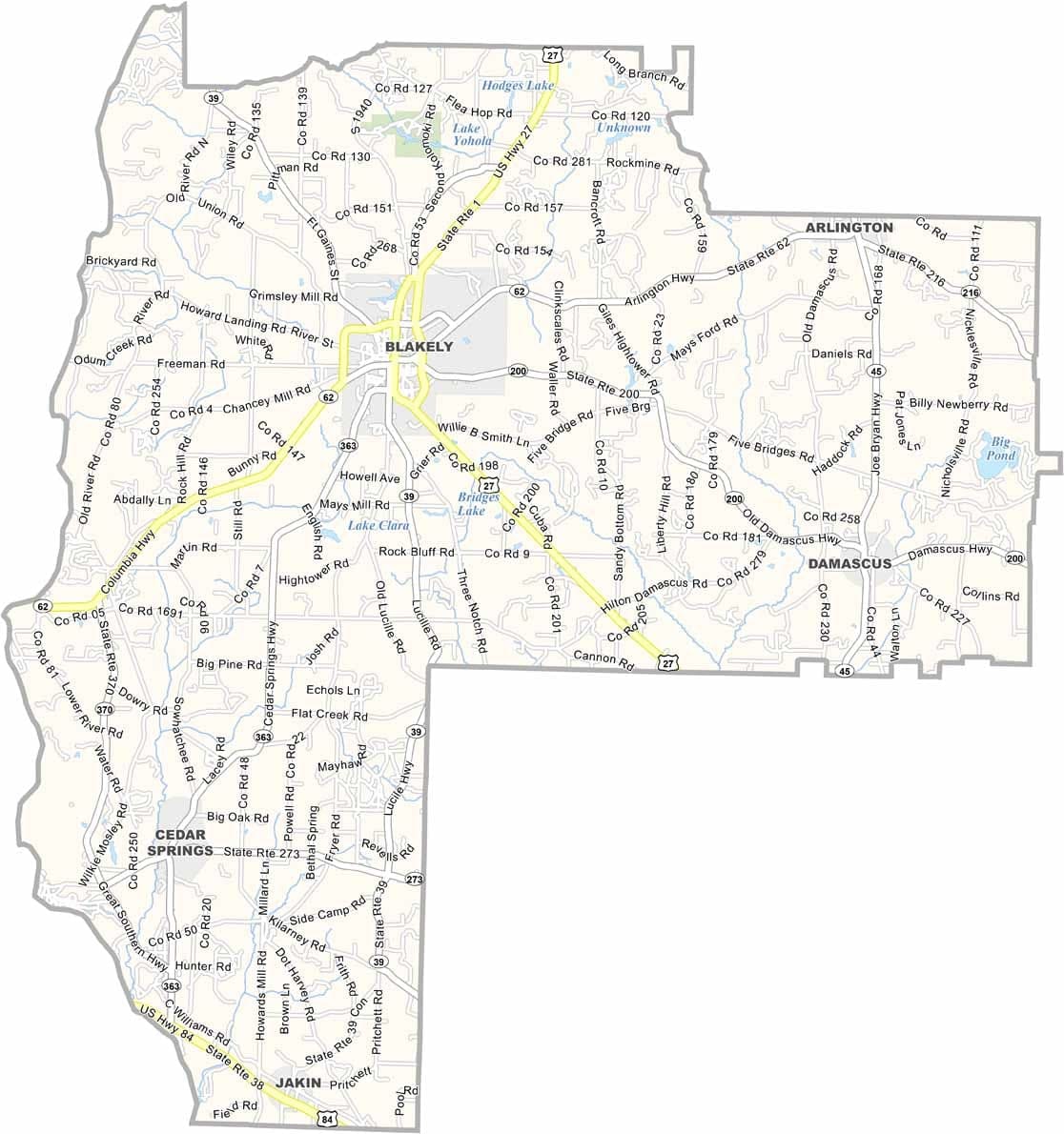
Early County is located in southwestern Georgia along the Alabama border. Blakely, the county seat, is a close-knit community that reflects the county’s rich history and strong agricultural traditions. Established in 1818, Early County is one of Georgia’s oldest counties.
Agriculture has long been the foundation of the local economy, with peanuts playing a particularly important role. The county is also home to Kolomoki Mounds State Park, one of the most significant Native American archaeological sites in the Southeast. Numerous lakes and outdoor recreation areas provide opportunities for fishing, boating, and enjoying nature.
Early County combines historical landmarks, fertile farmland, and a welcoming small-town atmosphere. While local leaders continue to encourage economic development and new business opportunities, the county remains deeply connected to its rural heritage. Its historic homes, scenic landscapes, and strong sense of community make it a classic example of South Georgia living.