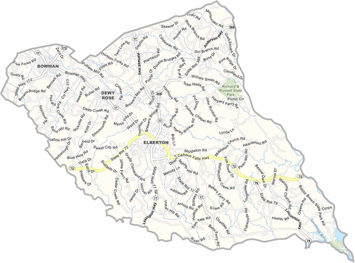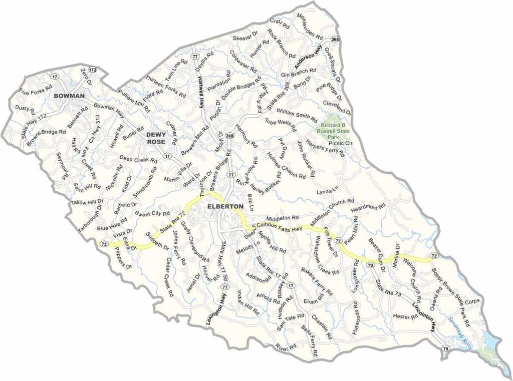
Elbert County, Georgia

Elbert County is located in northeastern Georgia along the Savannah River. Elberton, the county seat, is widely known as the “Granite Capital of the World” due to its extensive granite quarries and long-standing stone industry. For more than a century, granite production has played a central role in shaping the county’s economy and identity.

The county has a rich history that dates back to the Revolutionary War era, with several historic sites preserving its past. Rolling hills, forests, and farmland characterize much of the landscape, contributing to the county’s scenic rural setting.

Despite its rural character, Elberton features a vibrant downtown area with local shops, restaurants, and community events. The annual Granite Festival highlights the county’s most famous industry and brings residents and visitors together in celebration.
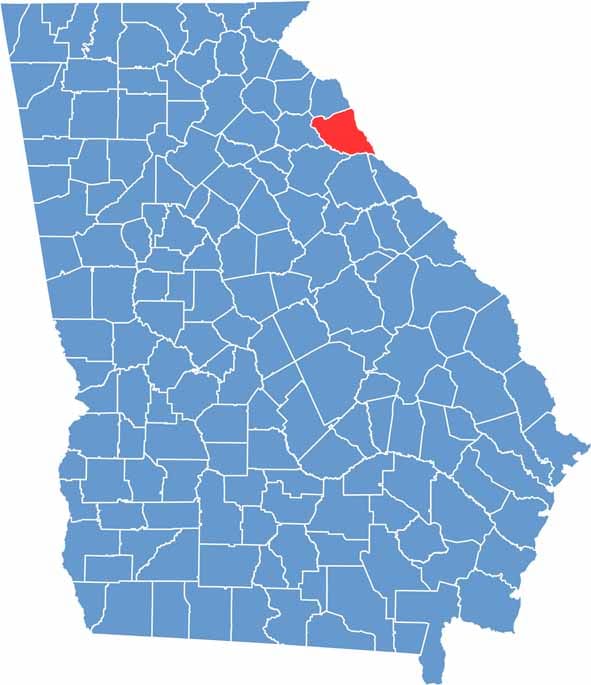

Elbert County Location Map Georgia
Category Details
County Name Elbert County
County Seat Elberton
Cities, Towns, and Communities Elberton (county seat), Bowman, and several unincorporated communities
Interstates and Highways U.S. Route 29, U.S. Route 72, State Route 17, State Route 77
Etymology Named in honor of Samuel Elbert, a Revolutionary War general and Governor of Georgia
FIPS Code 13-105
Total Area (Land and Water) 369 square miles (land: 367 sq mi, water: 2 sq mi)
Time Zone Eastern Time Zone (ET)
State Georgia
Coordinates 34.1150° N, 82.8636° W
Major Landmarks Richard B. Russell Lake, Elberton Granite Museum
Adjacent Counties (and Direction) Anderson County, South Carolina (Northeast), Abbeville County, South Carolina (East), McCormick County, South Carolina (Southeast), Lincoln County (Southeast), Wilkes County (South), Oglethorpe County (Southwest), Madison County (West), Hart County (North), Franklin County (Northwest)
Population Approximately 20,500
Scroll to Top