
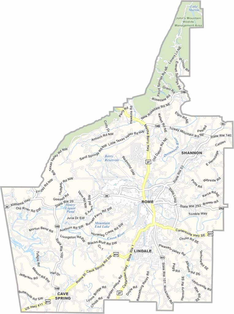
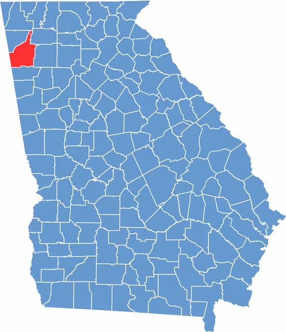
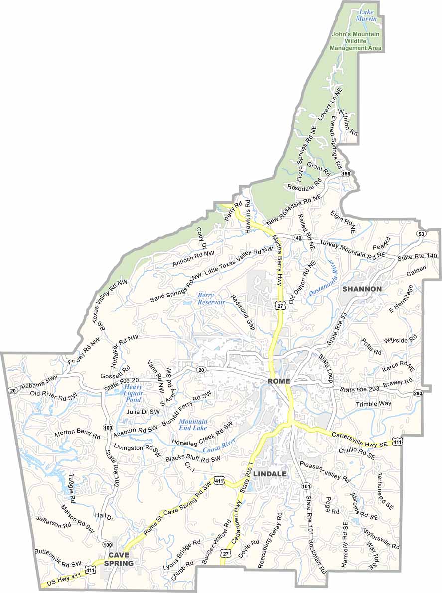
Floyd County is located in northwest Georgia along the Alabama border. Rome serves as the county seat and sits at the confluence of the Etowah, Oostanaula, and Coosa rivers. Its River District has become a popular destination for dining, entertainment, and outdoor recreation.
The county is home to several colleges, including Berry College, known for its expansive campus. Floyd County also has a rich Native American history, which is showcased at the Chieftains Museum. Outdoor enthusiasts can explore nearby areas of the Chattahoochee National Forest, while the region’s rivers and trails provide additional opportunities for recreation.
Floyd County’s economy includes healthcare, education, manufacturing, and agriculture. Despite continued growth, the county maintains strong connections to its rural roots. The annual Coosa Valley Fair celebrates local traditions and brings communities together. Floyd County offers a welcoming mix of history, natural beauty, education, and everyday northwest Georgia life.
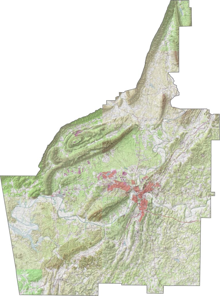
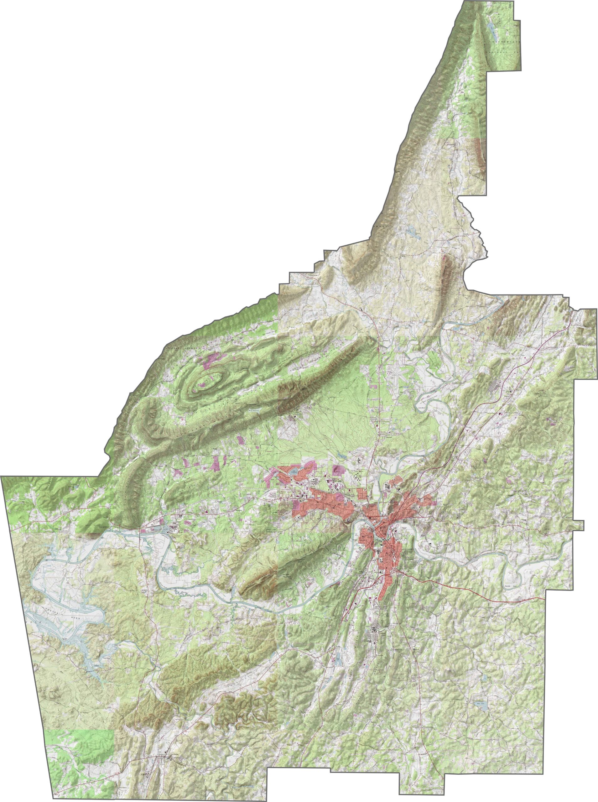
Our Floyd County topographic map shows the ridges and valleys typical of the Appalachian foothills. Rome sits in a broad valley near the confluence of the Etowah and Oostanaula rivers. Johns Mountain rises prominently in the northern section, with steep slopes and hiking trails.
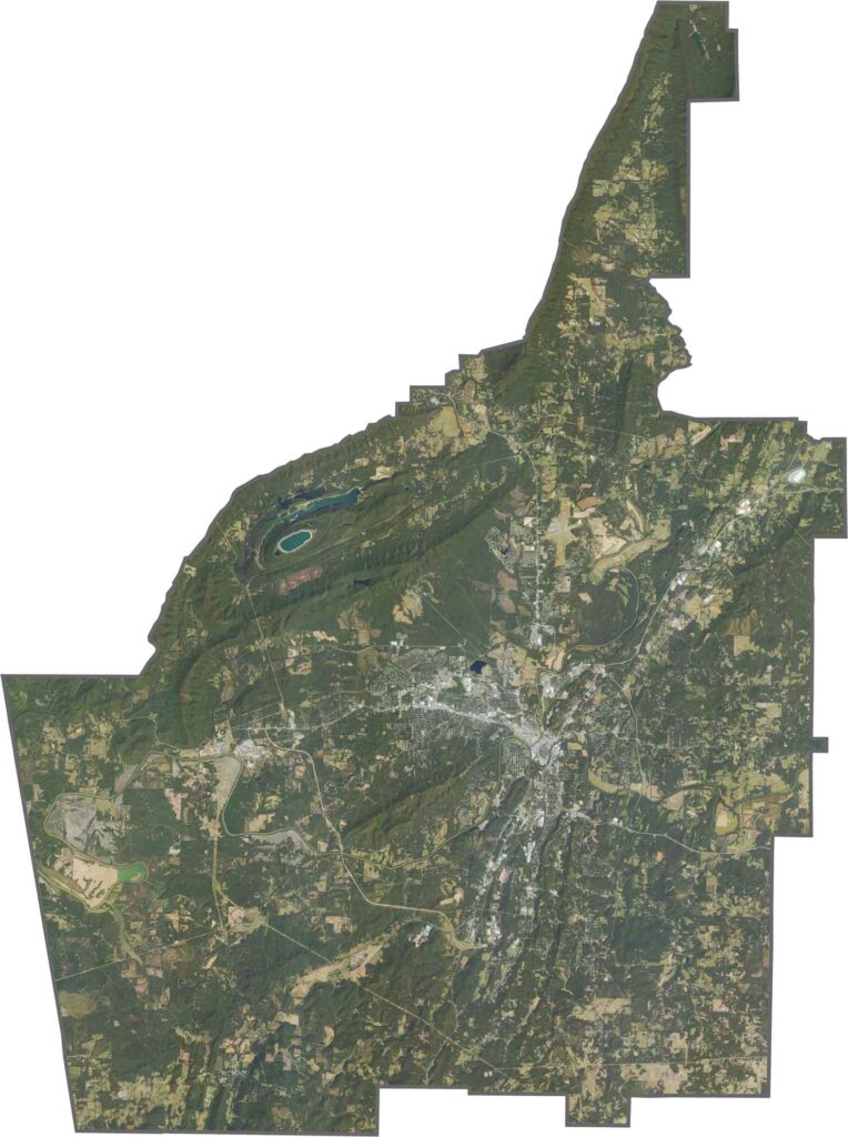
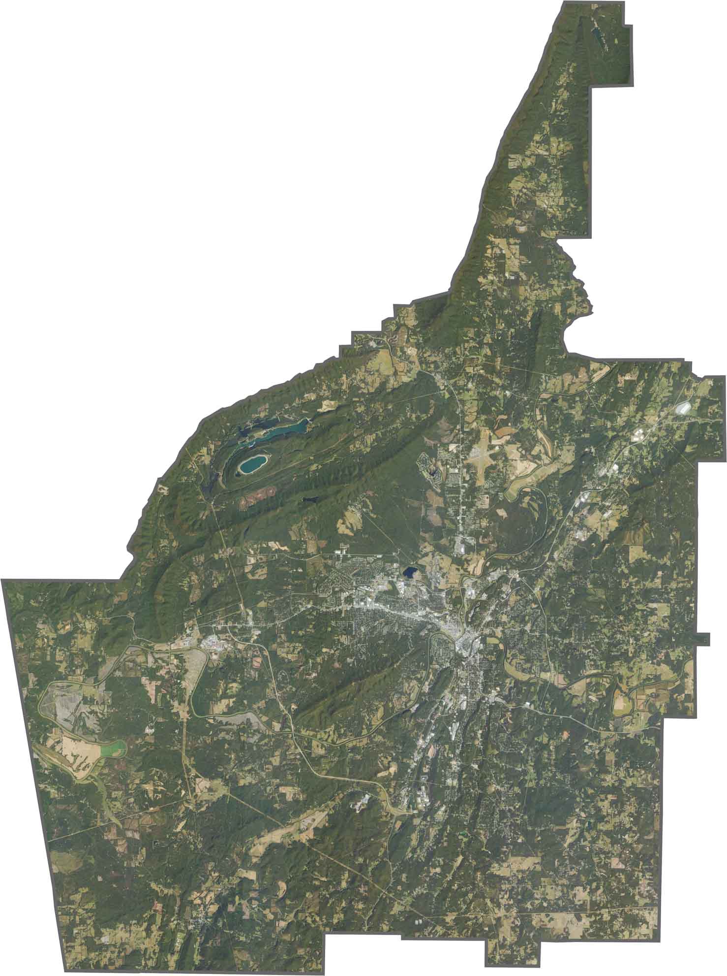
This satellite map highlights Floyd County’s alternating pattern of forested ridges and farm-filled valleys. The southern portion includes the city of Rome and its distinctive river confluence, while the eastern areas feature limestone quarries and cement production.
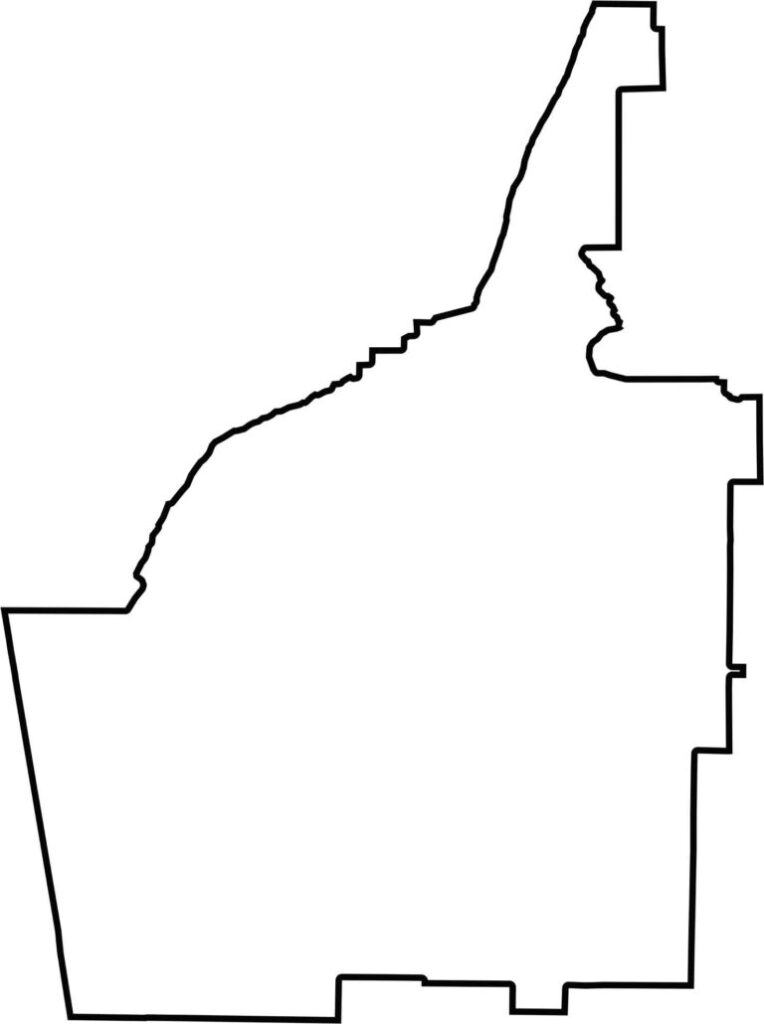
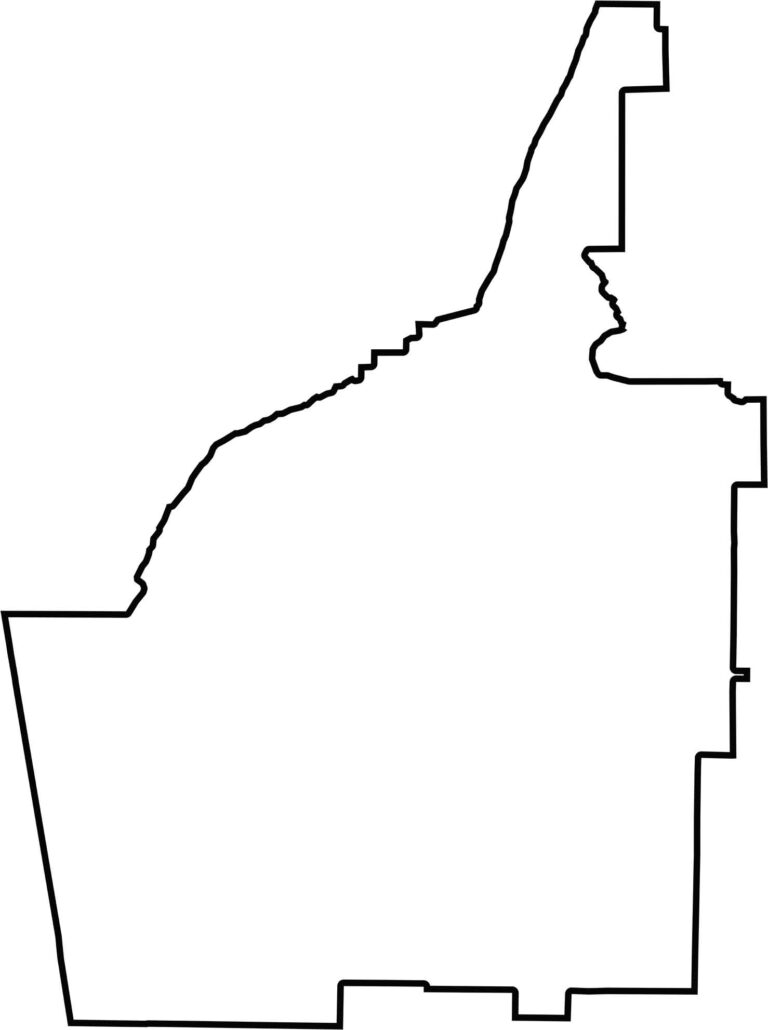
Floyd County has an irregular shape influenced by its natural terrain. Its boundaries are shaped largely by ridge lines and rivers rather than straight survey lines. The county is broader in the south and becomes narrower toward the northeast.







Now available! Our Georgia county map highlights all 159 counties with exceptional detail and clarity. Whether you're exploring geography, planning a trip, or learning more about the Peach State, this comprehensive map is the resource you've been looking for. Discover Georgia like never before and explore every corner of the state.