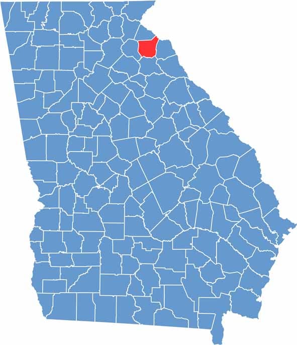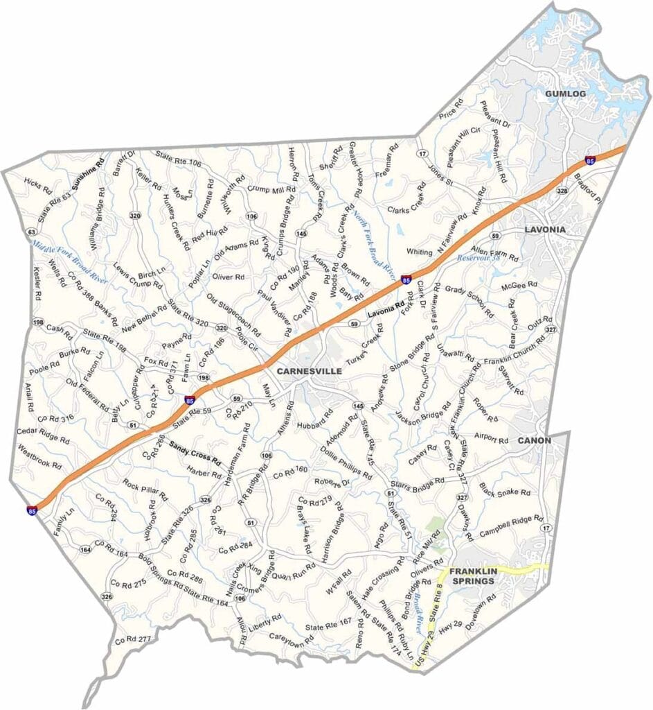
Franklin County is located in northeast Georgia, with Carnesville serving as the county seat. Though largely rural, the county offers a mix of small-town charm, scenic landscapes, and convenient access to major transportation routes. Interstate 85 passes through the area, making it a popular stop for travelers heading between Atlanta and the Carolinas.
Lake Hartwell forms part of the county’s eastern border and provides excellent opportunities for fishing, boating, and other outdoor activities. The surrounding countryside is known for its rolling hills, productive farmland, and picturesque views that reflect the character of northeast Georgia.
Franklin County has a rich history, with several sites listed on the National Register of Historic Places. Community events such as the Lavonia Festival and Car Show bring residents together each year, while nearby outdoor destinations offer hiking and camping opportunities.