Harris County Map Download Georgia – Outline Map and Blank Map

Harris County Map Download Georgia – Outline Map and Blank Map

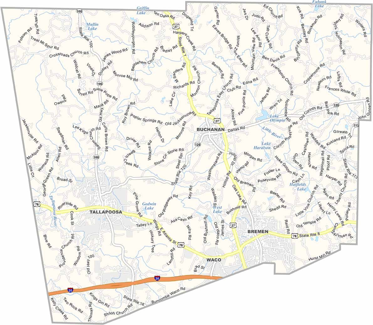
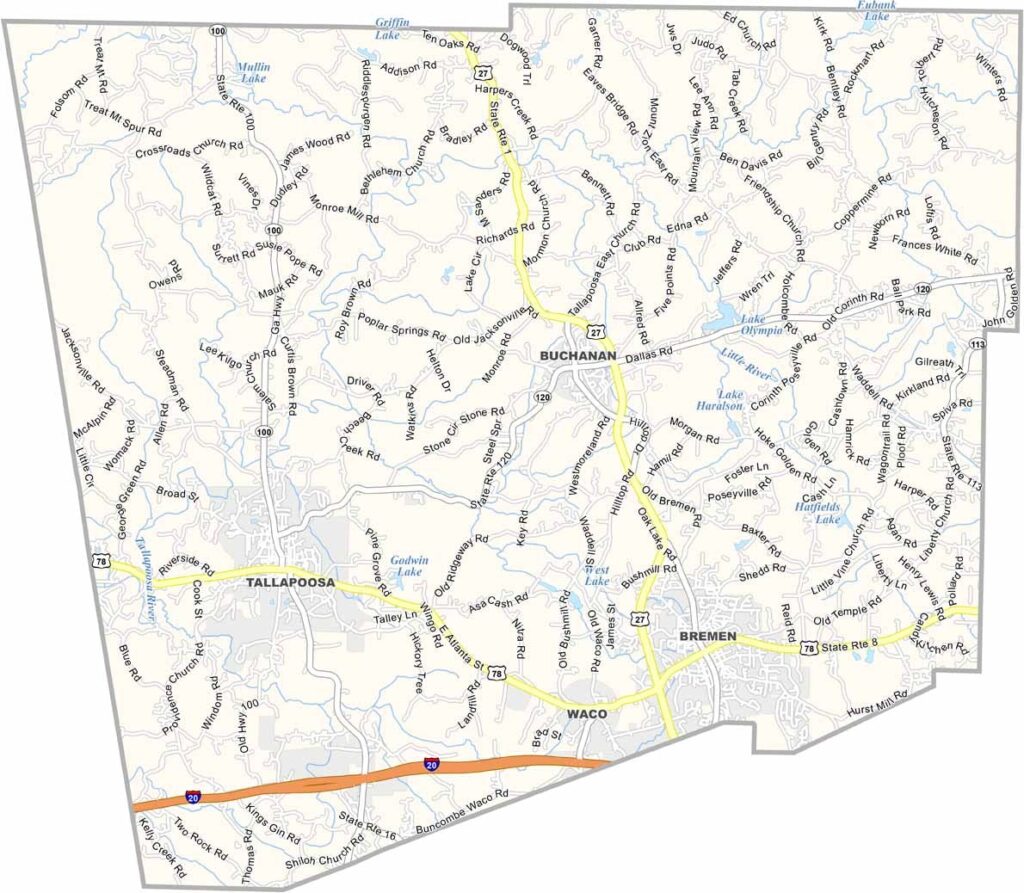
Harris County map showing towns and roads in Georgia.

Harris County, Georgia

Harris County is located in west-central Georgia, stretching from the outskirts of Columbus to the shores of West Point Lake. Hamilton serves as the county seat, while Pine Mountain and nearby Dowdell Knob offer some of the region’s most scenic views and outdoor experiences.

One of the county’s most popular destinations is Callaway Gardens, known for its beautiful botanical displays, walking trails, and renowned butterfly center. Harris County combines rural landscapes with convenient access to Columbus, making it an attractive place for commuters and families.

Outdoor recreation plays a major role in the county, with opportunities for fishing, boating, hiking, and wildlife viewing. Much of the landscape remains covered by forests and farmland, preserving its natural beauty. Historic homes, churches, and other landmarks reflect the county’s rich heritage and long-standing connection to Georgia’s past.
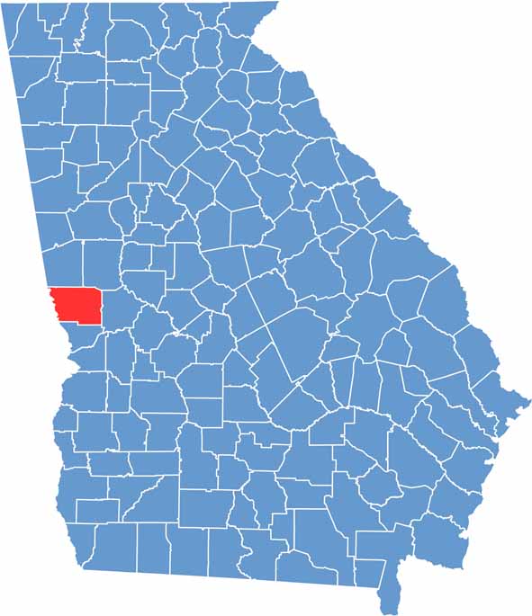

Harris County location map in Georgia.
Category Details
County Name Harris County
County Seat Hamilton
Cities, Towns, and Communities Eastern Time Zone (ET)
Interstates and Highways U.S. Route 27, State Route 85, State Route 315
Etymology Named in honor of Charles Harris, prominent lawyer from Savannah
FIPS Code 13-145
Total Area (Land and Water) 465 square miles (land: 457 sq mi, water: 8 sq mi)
Time Zone Central Time Zone (CT)
State Georgia
Coordinates 32.7251° N, 84.8470° W
Major Landmarks Pine Mountain, Callaway Gardens, Harris County Historical Society Museum
Adjacent Counties (and Direction) Troup County (North), Meriwether County (Northeast), Talbot County (East), Muscogee County (South), Lee County, Alabama (Southwest), Chambers County, Alabama (Northwest)
Population Approximately 35,000
Scroll to Top