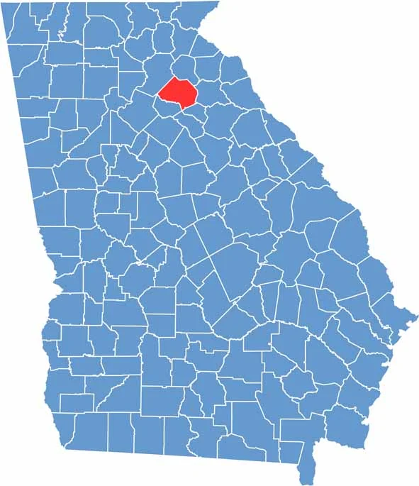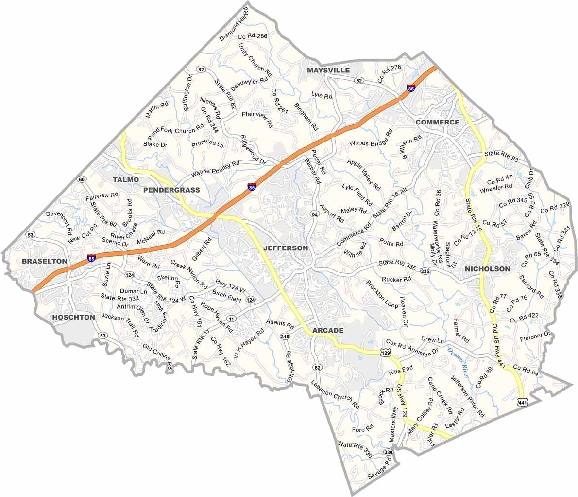
Jackson County is located in northeast Georgia, about an hour from Atlanta, yet it retains much of its small-town charm and rural character. Jefferson serves as the county seat, while a collection of communities throughout the county each contribute their own unique identity and sense of local pride.
Founded in 1796, Jackson County has a long and rich history that is still evident in its historic downtowns, community traditions, and local landmarks. High school football remains an important part of community life, bringing residents together on Friday nights throughout the fall season.
Today, the county blends historic character with modern growth. Antique stores and historic buildings stand alongside new neighborhoods, businesses, and commercial developments. Outdoor enthusiasts enjoy access to parks, hiking trails, and fishing areas, while residents value the friendly atmosphere and strong sense of community that continue to define Jackson County.