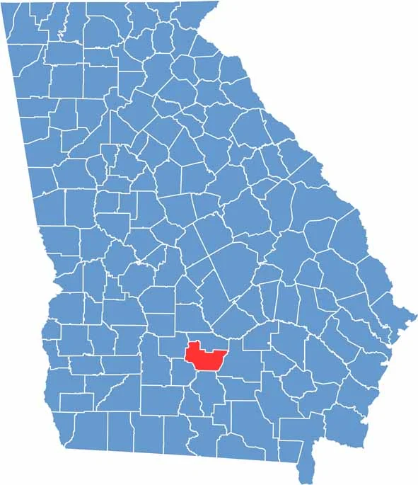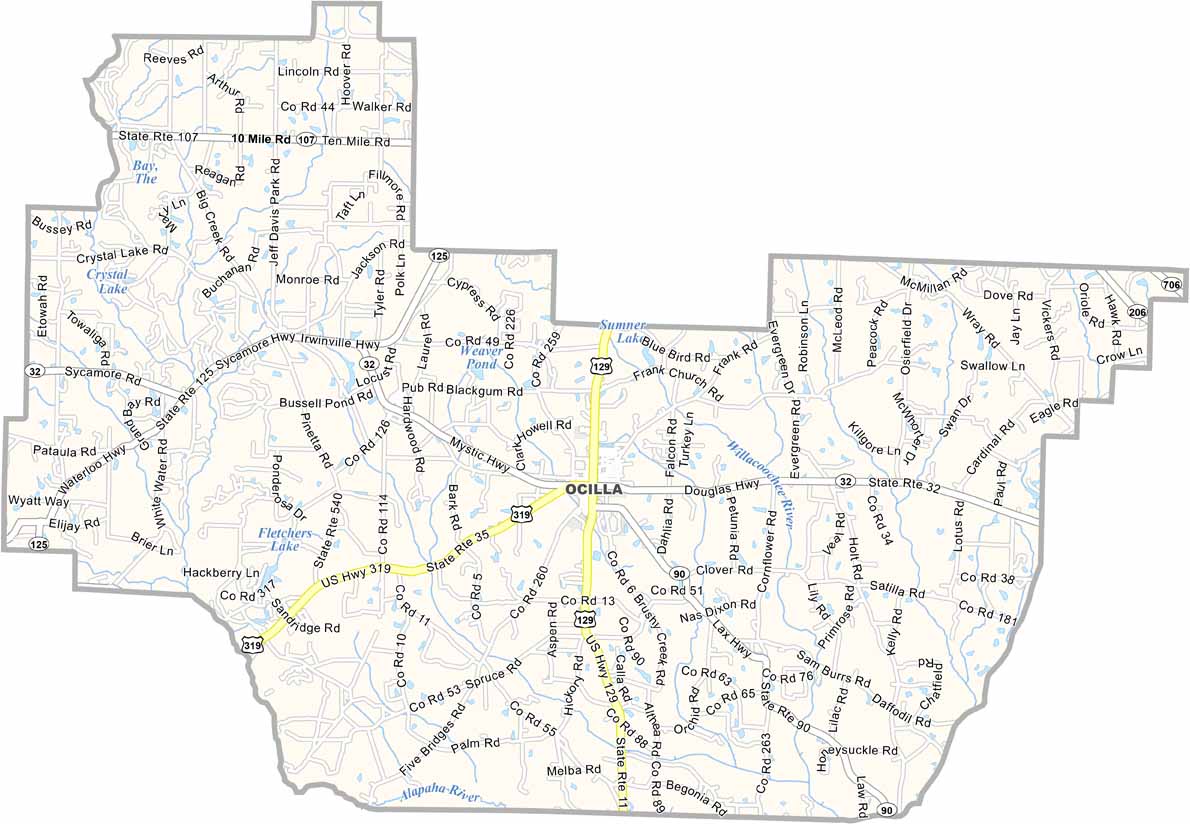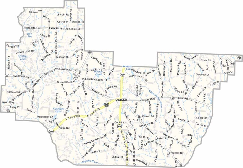
Irwin County is located in south-central Georgia, about 180 miles south of Atlanta. Ocilla serves as the county seat and sits near the junction of U.S. Highways 129 and 319. The county’s landscape is defined by productive farmland, with pecan orchards, cotton fields, and other crops stretching across the countryside.
Residents take pride in their Southern hospitality, strong community ties, and local traditions. Established in 1818 from lands once occupied by the Creek Nation, Irwin County has a rich history that remains an important part of its identity today.
The Jefferson Davis Memorial Historic Site is one of the county’s most notable landmarks, attracting visitors interested in regional history. Outdoor recreation is also popular, with fishing, hunting, and other activities available throughout the area. While deeply connected to its agricultural heritage, Irwin County continues to embrace growth and change while preserving its small-town character.